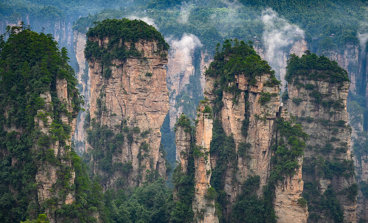
Mount Siguniang · Sichuan

Mount Siguniang Tours & Travel Guide 2026 | Four Girls, Sichuan | JoyoTour

Plan a private Mount Siguniang trip in Sichuan: the Four Girls peaks and three valleys — Shuangqiao, Changping, Haizi — with horse treks and guided climbs from Rilong town.

The short version

Mount Siguniang is a cluster of four linked snow peaks in western Sichuan — the highest, Yaomei Feng, stands 6,250 m — reached through the base town of Rilong at 3,200 m. There are three valleys: Shuangqiao for a comfortable shuttle tour, Changping for horse riding beneath the peaks, and Haizi for hard hiking and the alpine lakes. Two days covers Changping and Shuangqiao; three or four adds Haizi or a guided climb of the 5,025 m Da Feng, which beginners do with a guide and no technical skill.

SichuanProvince
July–August for wildflowers; September–October for clear skies and autumn colourBest months
CTUAirport
Connect via hubDaily intl. flights
Prefer it arranged for you? Four snow peaks, three valleys, and the friendliest 5,000 m mountain in China to stand on top of. Mount Siguniang travel guide →

The place itself

What Mount Siguniang is actually like

The Four Girls are four snow peaks in a row on the eastern rim of the Hengduan Mountains, second in Sichuan only to Gongga Shan. The legend gives them their name: four sisters who fought a demon that was killing the villagers and, dying in the fight, became the mountains. The tallest, Yaomei Feng at 6,250 m, is the one serious alpinists come for; the others are where ordinary walkers and first-time mountaineers start.

Everything funnels through Rilong, a small Tibetan town at about 3,200 m at the foot of the peaks, and from it the three valleys fan out. Shuangqiao is the most developed and the only one with a sightseeing shuttle, so it is a comfortable half-day of snow mountains without effort but also without much participation. Changping is the classic: no road, horses and a boardwalk under the peaks, the Four Girls dead ahead for most of the way.

Haizi is the wild card — 19.2 km long, high, and reached only on foot or on horseback, past grasslands and a scatter of alpine lakes at nearly 4,200 m. It is also the approach for the climb, the local route up Da Feng and Er Feng, and the reason this valley has a climbing culture at all.

This is Tibetan and Jiarong country, not just scenery. Prayer flags on the passes, stone watchtowers in the villages below, butter tea in the guesthouses of Rilong — and, on the fifth day of the fifth lunar month, the mountain-worship festival on the grassland, when locals face the peaks and burn juniper for them.
75°E75°E90°E90°E105°E105°E120°E120°E135°E135°E20°N20°N30°N30°N40°N40°N50°N50°N ChangchunKashgar BeijingBeijingXi'anXi'anShanghaiShanghaiChengduChengduGuilinGuilinHangzhouHangzhouZhangjiajieZhangjiajieTibet · LhasaTibet · LhasaYunnan · KunmingYunnan · KunmingSichuan · ChengduSichuan · ChengduQinghai · XiningQinghai · XiningGansu · LanzhouGansu · LanzhouXinjiang · UrumqiXinjiang · UrumqiInner Mongolia · HohhotInner Mongolia · HohhotGuangzhouGuangzhouShenzhenShenzhenHarbinHarbinDalianDalianShenyangShenyangChangbai MountainChangbai MountainKunmingKunmingDaliDaliShuheShuheLijiangLijiangXiamenXiamenGulangyuGulangyuFuzhouFuzhouLugu LakeLugu LakeXishuangbanna · JinghongXishuangbanna · JinghongShangri-LaShangri-LaNanchangNanchangHefeiHefeiHongcunHongcunWuhanWuhanChangshaChangshaFenghuang Ancient TownFenghuang Ancient TownLushanLushanWuyuanWuyuanMount Heng (Hengshan, Hunan)Mount Heng (Hengshan, Hunan)HuangshanHuangshanWudang MountainWudang MountainLuoyangLuoyangYuntai MountainYuntai MountainRizhaoRizhaoYantaiYantaiLianyungangLianyungangSanqing MountainSanqing MountainTianjinTianjinDatongDatongTaiyuanTaiyuanPingyaoPingyaoWutai MountainWutai MountainHulunbuir · HailarHulunbuir · HailarThe Forbidden CityThe Forbidden CitySanyaSanyaHaikouHaikouBeihaiBeihaiNanningNanningGuangxi · NanningGuangxi · NanningHuizhouHuizhouZhuhaiZhuhaiWuyi MountainWuyi MountainBeidaiheBeidaiheShanhaiguanShanhaiguanBaiyangdianBaiyangdianQinhuangdaoQinhuangdaoYesanpoYesanpoJiuzhaigouJiuzhaigouMount SiguniangMount SiguniangHailuogouHailuogouDaocheng YadingDaocheng YadingShunan Bamboo SeaShunan Bamboo SeaDujiangyanDujiangyanQingcheng MountainQingcheng MountainQingdaoQingdaoMount TaiMount TaiJinanJinanWeihaiWeihaiQufuQufuPenglaiPenglaiChangdaoChangdaoNanjingNanjingSuzhouSuzhouZhouzhuangZhouzhuangTongliTongliWuxiWuxiYangzhouYangzhouZhenjiangZhenjiangChangzhouChangzhouWuzhenWuzhenXitangXitangXixi WetlandXixi WetlandNingboNingboMount PutuoMount PutuoQiandao LakeQiandao LakeShaoxingShaoxingZhoushanZhoushanHengdianHengdianYandang MountainYandang MountainZhejiang · HangzhouZhejiang · HangzhouHong KongHong KongHong Kong Outlying IslandsHong Kong Outlying IslandsHong Kong ShoppingHong Kong ShoppingMacaoMacaoTaipeiTaipeiKaohsiungKaohsiungTaiwan · TaipeiTaiwan · TaipeiUrumqiUrumqiNorth Xinjiang · UrumqiNorth Xinjiang · UrumqiQinghai LakeQinghai LakeMount EmeiMount EmeiLanzhouLanzhouMount HuaMount HuaDunhuangDunhuangGannan · LanzhouGannan · LanzhouSichuan–Tibet Highway (G318) · Chengdu (CTU)Sichuan–Tibet Highway (G318) · Chengdu (CTU)KangdingKangdingLhasaLhasaNyingchiNyingchiNamtsoNamtsoChongqingChongqingQiandongnan · GuiyangQiandongnan · GuiyangLiboLiboGuiyangGuiyangZhenyuanZhenyuanHuangguoshuHuangguoshu
Destination — click to open the guide Province or autonomous region Provincial capital Major river

Pins are plotted from real latitude and longitude on a 5° graticule. This is a schematic orientation diagram, not a political map — no boundaries are drawn.

What not to miss — Mount Siguniang

01

Changping Valley

29 km of gorge, forest and boardwalk right under the peaks, with the Four Girls visible most of the way and a ruined lamasery, dry lakes and a kolam-like thicket of dead trees on the trail. Horses do the hard part; the classic walk reaches Muluozi, a flat meadow at 3,760 m.

02

Shuangqiao Valley

The developed valley, 7 km from Rilong, with a shuttle running to the end and back. You look up at a dozen peaks over 4,000 m — Wuse Shan, the Sun-Moon Mirror, Yingyang Gorge — and can walk the Shuqin boardwalk, but the peaks themselves stay distant.

03

Haizi Valley

19.2 km of open grassland and ridge, with more than ten alpine lakes and the best full view of the Four Girls from the Chaoshang and Guozhuang meadows. It is also the start of the climb, and the reason to give it a whole day.

04

Climbing Da Feng

The 5,025 m Da Feng is the beginner's peak: no technical climbing, snow from December to June, and a summit reached in 5–6 hours from the 1st camp at 4,500 m. You need a local guide and a ¥60 climbing permit, and the view from the top takes in all three valleys.

05

Huamao Liang viewpoint

The high bend on the road into Rilong, where the whole four-peak skyline shows at once. Best at sunrise, when the first light gilds the summits — the local 'golden mountain', and a five-minute stop that everyone makes.

06

Rilong town and its guesthouses

A one-street Tibetan-tinged town of guesthouses, climbers' cafés and small Sichuan kitchens at 3,200 m. It is not pretty, but it is the base for everything, the place to sleep, hire horses, meet guides and drink butter tea.

China tours that include this stop — Mount Siguniang

5 days · Wildlife

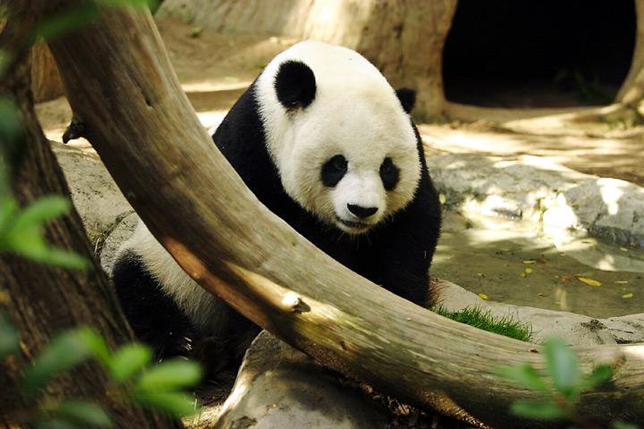
Panda Volunteer Express

Five days in Sichuan with a half-day volunteering at a panda centre — cleaning enclosures, preparing bamboo and meeting the keepers.

★★★★★5.0 64 reviews

From US$980/per person

View tour

15 days · Grand Tour

Grand China Odyssey

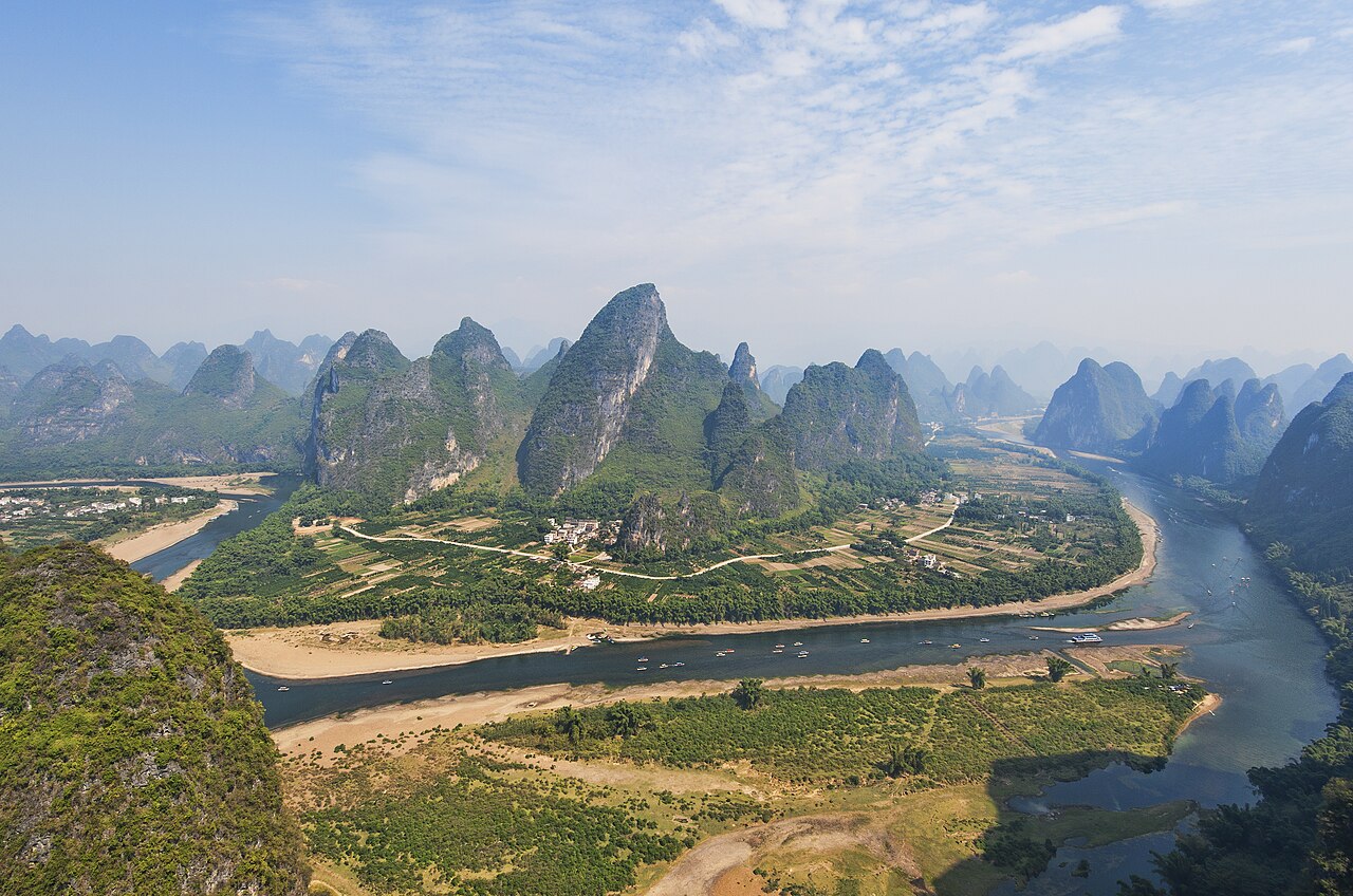
Five regions, one journey: imperial north, panda country, the karst rivers of Guilin and the skyline of Shanghai, with Hangzhou's West Lake.

★★★★★4.8 132 reviews

From US$2,580/per person

View tour

Getting there and away

The only public transport is the bus: from Chengdu Chadianzi Station (☎ 028-87506610) several buses leave for Xiaojin County at about 06:20 daily, and you get off at Rilong on the way; the run is 6–8 hours and costs ¥123–135, so buy a day ahead. There are no trains and no airport here — everyone comes through Chengdu.

By road the route is Chengdu–Dujiangyan–Yingxiu–Wolong–Mt Balang–Rilong, 286 km, crossing the 4,500 m Balang Pass; it takes 5–6 hours and the last stretch has tight bends and steep grades, so a local driver or a shared car is the sane choice. The road climbs through the Wolong panda reserve, and the vegetation changes from broadleaf forest to conifer to alpine meadow as you go. Snow on Balang in winter and spring can slow or briefly close it.

Best time to visit — Mount Siguniang

MonthWeatherCrowdsVerdict
January2°C / -12°C · bitterly cold, clearQuietAvoid
February5°C / -9°C · bitterly cold, clearVery busyAvoid
March10°C / -3°C · bitterly cold, clearModerateGood
April15°C / 3°C · bitterly cold, clearModerateGood
May19°C / 8°C · bitterly cold, clearBusyOK
June22°C / 12°C · clear and mildModerateBest
July23°C / 14°C · clear and mildBusyBest
August22°C / 13°C · clear and mildBusyBest
September19°C / 9°C · clear and mildModerateBest
October14°C / 2°C · bitterly cold, clearVery busyGood
November7°C / -6°C · bitterly cold, clearQuietGood
December2°C / -11°C · bitterly cold, clearQuietAvoid

How many days do you need?

Two days is the floor: one for Changping on horseback under the peaks, one for Shuangqiao by shuttle. Three or four is better and lets you add Haizi Valley on foot, which is the wildest of the three but eats a full day. Add two more if you want to climb Da Feng — one to acclimatise in Rilong, one up to the high camp, one for the summit and back — and remember the whole point of the extra days is altitude, not distance.

Plan these days properly

Frequently asked questions

How do I get to Mount Siguniang from Chengdu?

Take the bus from Chengdu Chadianzi Station (☎ 028-87506610) — several coaches leave for Xiaojin at about 06:20 daily and stop at Rilong, 6–8 hours for ¥123–135; buy the ticket a day ahead. Or share a car and drive via Dujiangyan, Yingxiu, Wolong and the 4,500 m Balang Pass, 286 km and about 5–6 hours.

Which of the three valleys should I choose?

Changping is the best single choice — horse or boardwalk beneath the peaks, with the Four Girls in view most of the way. Shuangqiao is the easy one, all shuttle and no effort, and perfect if you are short on time. Haizi is the serious hike, a full day on foot or horseback, and the one to pick if you have a spare day.

Do I need a guide to climb Mount Siguniang?

For Da Feng, yes — a licensed guide and a ¥60 permit are required, and the route, though non-technical, crosses glaciers and steep snow. Er Feng suits fit, experienced hikers; San Feng and Yaomei Feng are for mountaineers with full technical gear. Do not attempt any of them without a guide, a permit and a day to acclimatise.

Is altitude sickness a problem here?

Rilong sits at about 3,200 m, high enough that most people feel something on the first night. Sleep well, avoid alcohol, eat vegetables and fruit, and give yourself a full day at town height before going higher. Carry altitude medication if you know you are susceptible, and do not push on if you feel sick — the mountains will still be there.

Is horse riding in the valleys safe?

The Siguniang horses are famously calm and are used to carrying visitors; many barely trot, and a handler walks the reins for nervous riders, so it is fine even for children. Agree the route and the price before you mount, and use the horses for the long flat stretches rather than for anything steep.

When is the best time to visit Mount Siguniang?

July and August bring wildflowers and green meadows, and September and October bring the clearest skies and the best photography light. Winter is cold and snowy, spring can be dry and brown. It is high plateau at any time of year, so pack layers, sunscreen and sunglasses whenever you go.

Tell us your dates.
We'll do the rest.

Free itinerary design, a revised plan within one working day, and nothing charged until you approve the final version.

  • Free itinerary planning by a destination specialist
  • A revised draft within one working day
  • Nothing is charged until you approve the final version.

No spam. No sales calls. Just a real itinerary from a real person.