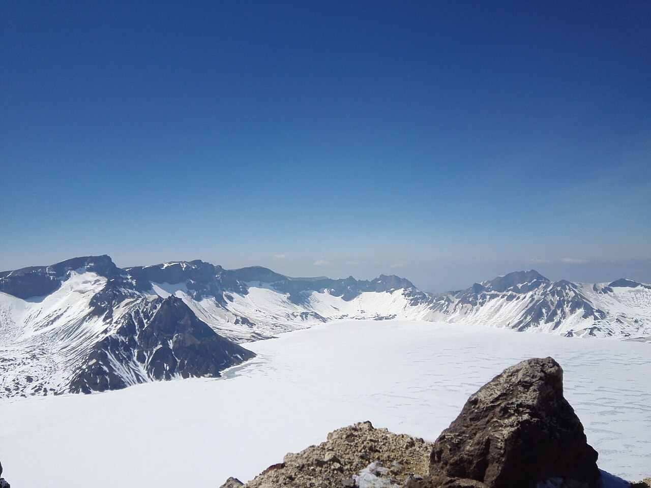
Heaven Lake at the crater rim
China's highest and deepest crater lake, 13 km around and up to 373 m deep. On a clear morning the water is a flat sheet of jade and the North Korean shore is visible across it.
City guide · Jilin
A volcano on the North Korean border, a jade-green crater lake at 2,189 m, and hot springs on the way down.
Reviewed by our Beijing team Updated 2026-10-10
The short version
City guide
Photographs from the coast, and what other travellers wrote afterwards.
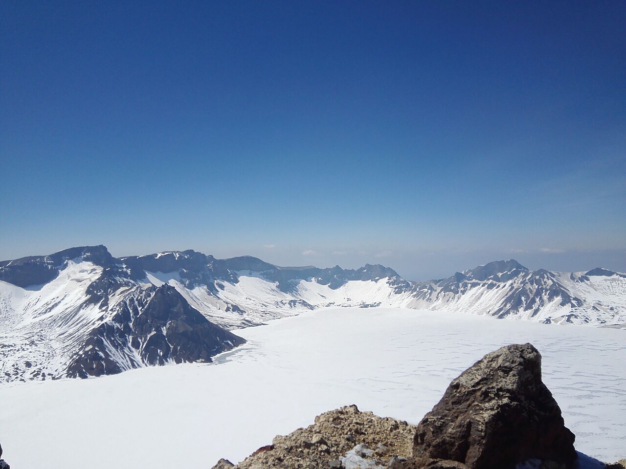
You climb through cloud, you give up on seeing anything, and then the bus clears the last ridge and there it is — flat, green and completely still.
Visitor journal — North Slope, July
Three mornings, one clear sky. That one was worth the other two.
Visitor journal — Erdaobaihe
Changbai Mountain is the roof of northeast China and the source of three of its great rivers — the Songhua, the Yalu and the Tumen. Its last major eruption, in 1903, left a crater that filled with water; the result is Heaven Lake, a 13 km sheet of jade-green water sitting 2,189 m up on the border with North Korea. The far shore you look across to is another country.
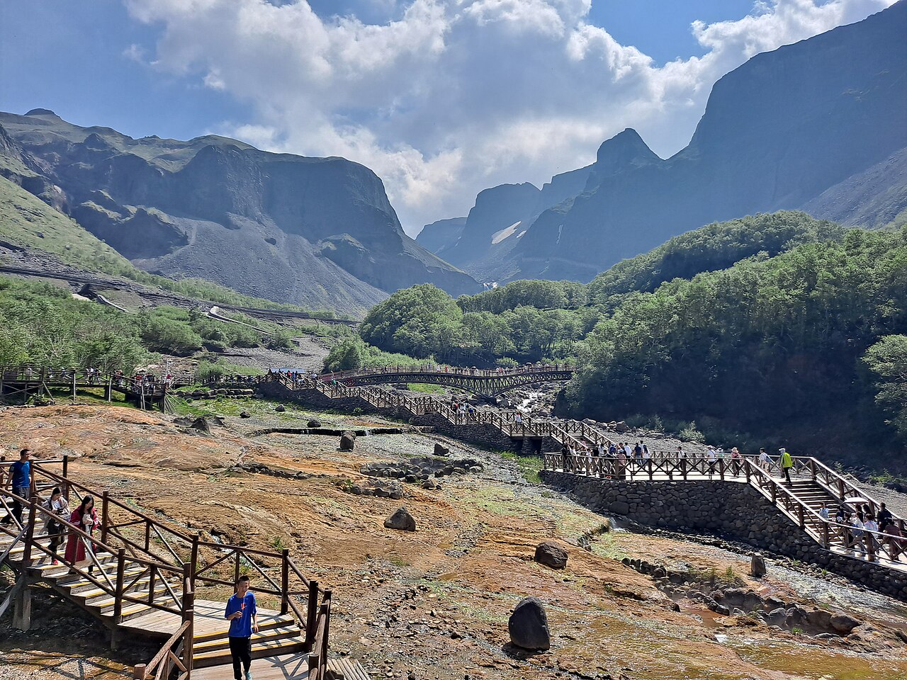
It is a scenic area, not a town, and that shapes the whole trip. Nearly everyone sleeps in Erdaobaihe at the foot of the north slope and walks up through a fixed sequence: the waterfall, the steaming Julong hot springs, the underground forest, and finally a bus-and-steps climb to the crater rim. The west slope, reached from Songjianghe, goes straight up one long flight of steps to the lake edge and gives the widest view of it. The south slope sees the fewest people.
The weather is the thing nobody warns you about properly. The summit sits above the cloud line, so a clear 8am can be a solid white wall by 11am, and visitors who arrive at noon often never see the lake at all. Go up early, give yourself a second morning, and treat a clear view as a reward rather than a guarantee.
Changbai Mountain
Seven things that are worth rearranging a day for.
Highlights
China's highest and deepest crater lake, 13 km around and up to 373 m deep. On a clear morning the water is a flat sheet of jade and the North Korean shore is visible across it.
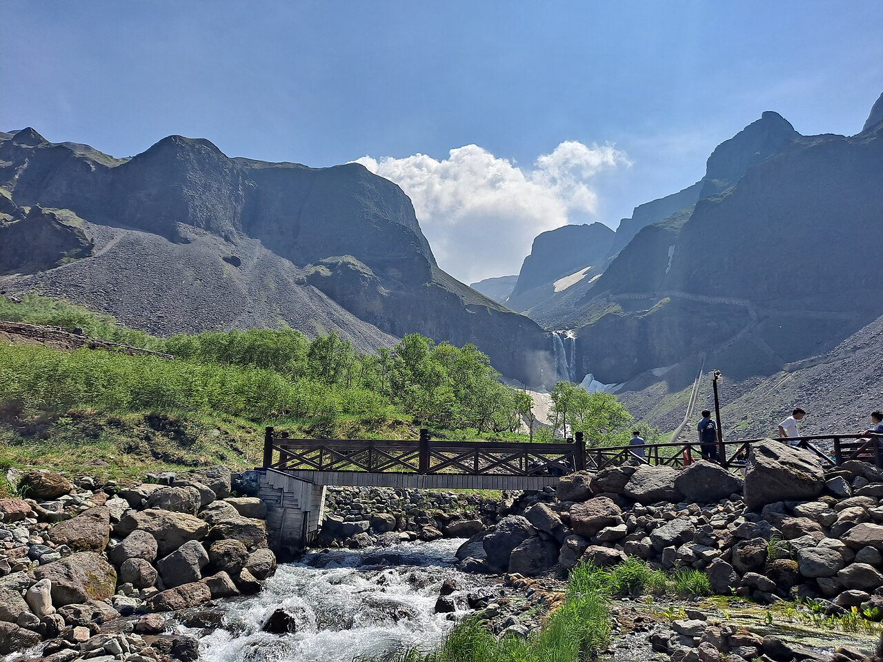
The lake overflows its rim and drops 68 m into the Erdao Baihe river — the tallest volcanic waterfall in China, a short boardwalk from the north-slope shuttle stop.
A field of steaming vents beside the waterfall, water emerging at 60–82°C. Buy eggs boiled in the spring and eat them standing in the steam.
A stand of ancient trees growing in a sunken volcanic basin, reached by boardwalk below the north-slope falls. Strange, quiet and easy to photograph.
One long flight of steps straight up to the crater edge, giving the widest view of Heaven Lake of any of the three slopes.
On the west slope, a canyon of grey and ochre volcanic rock cut into columns and towers — the best scenery on the mountain that is not the lake itself.
Suggested itineraries
Both plans base in Erdaobaihe. Cars and shuttle buses do the work; nobody drives to the summit.
The north slope done properly, with a spare morning in case the cloud closes the lake.
Leave Erdaobaihe early — before 7am in high season — to beat the shuttle queues. At the slope gate you transfer to the park bus up to the waterfall and hot springs.
Walk the boardwalk to the Changbai Waterfall and the Julong hot springs, then take the small summit vehicle up to the crater rim for Heaven Lake. Go up first if you can, before the day cloud builds.
On the way down, stop at Green Deep Pool and the underground forest. Back in Erdaobaihe by evening.
Stops: North slope gateChangbai WaterfallJulong Hot SpringsHeaven Lake rimUnderground forest
If the lake was cloudy on day one, use the morning to go back up — this is exactly why you build in a spare.
Otherwise spend the morning more gently, then drive to a hot-spring resort in the afternoon and soak in the open air with the mountain behind you.
Stops: Second summit attemptHot-spring resortErdaobaihe
Add the west slope, the Grand Canyon and the alpine garden, staying between the two gateways.
Run the classic north-slope day: waterfall, hot springs, the lake rim and the underground forest.
Stops: North slopeHeaven LakeUnderground forest
Drive across to Songjianghe and climb the west slope's long stair to the crater edge for the widest lake view. In summer, walk the alpine garden on the way.
In the afternoon, detour to the Jinjiang Grand Canyon.
Stops: SongjiangheWest slope stairAlpine gardenJinjiang Grand Canyon
Take the morning at whatever pace the weather allows — a soak, a walk, or one more run at the lake — then travel on to Yanji for Korean food or back to Changchun.
Stops: Hot springsYanji or Changchun
Sights
Entry is per slope, and the shuttle and summit vehicle cost extra. Prices are seasonal — confirm at the gate.
Crater lake · North & west slopes
The reason for the whole trip, and the one sight the weather can take away. The lake is 13 km in circumference and up to 373 m deep, sitting in the crater at 2,189 m. From the north slope you reach the rim by a small vehicle after the shuttle; from the west slope you climb a long stair. The far shore is North Korea.
Tip If you only have one morning and the forecast is doubtful, go up anyway at first light. The single biggest cause of a wasted trip is arriving at the rim at noon.
Waterfall · North slope
Where Heaven Lake overflows its rim and falls 68 m into the Erdao Baihe, the tallest volcanic waterfall in China. A boardwalk from the shuttle stop brings you to the base through spray and mist, with the hot springs steaming just to one side. It is the most photographed spot on the north slope.
Hot springs · North slope
A field of geothermal vents beside the waterfall, water emerging between 60 and 82°C and steaming in the cool air. The tradition here is to buy an egg boiled in the spring water — grey-green and faintly sulphurous — and eat it beside the pools. A short walk downhill brings you to a hot-spring pool where you can soak your feet.
Tip Do not put your hand in the vents. The water really is near boiling, and the signs are not decorative.
Nature · North slope
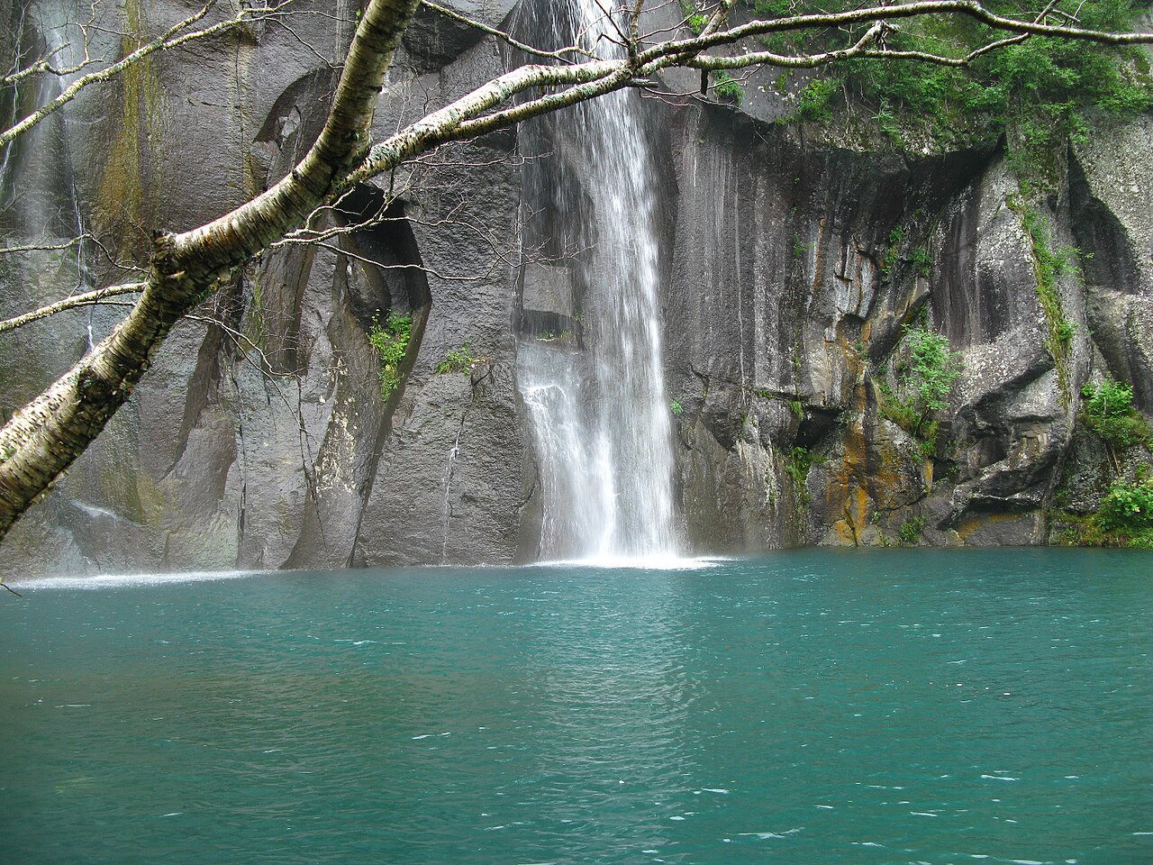
Below the waterfall, Green Deep Pool sits in a basin with a colour to match its name. Further down the valley, the underground forest is a stand of ancient trees growing on the floor of a sunken volcanic basin, reached by a wooden boardwalk — a quiet, green, slightly otherworldly half hour.
Canyon · West slope
On the west slope, a canyon cut into grey and ochre volcanic rock, the walls shaped into columns, towers and pillars by water and frost. It is the best non-lake scenery on the mountain, and it pairs naturally with the west-slope climb on the same day.
Ski resort · Winter
Thirty minutes from Songjianghe, one of China's largest ski areas, with long groomed runs, a hotel village and hot springs, set against the mountain. In winter it is the reason many people come at all; in summer it turns into a cool-weather base with hiking and golf.
Eating
Mountain-town food is plain and warming, with a strong Korean-Chinese streak. Expect big portions and low prices.
Boiled in the Julong spring water at the north slope. Grey-green shell, faintly sulphurous, and the thing everyone photographs eating on the boardwalk.
The gateway towns and Yanji are culturally close to Korea, so the cold buckwheat noodles in chilled broth are as good here as anywhere in China.
Rice, vegetables and a raw egg in a sizzling stone bowl — the Korean-Chinese staple of the region, best on a cold morning before the mountain.
Jilin ginseng goes into a whole chicken with glutinous rice and simmered for hours. The warming, restorative dish local families serve before a long climb.
The northeast's Korean streak runs deep: grilled pork belly, beef and a table of kimchi and pickles, common in Erdaobaihe and especially in Yanji.
In summer the region serves fiddlehead ferns, wild garlic and other mountain greens, simply dressed. It is the one place in northeast China where vegetables steal the show.
Where to base
There is no city on the mountain itself. You sleep in a gateway town and drive to a slope each morning.
North slope base
The town at the foot of the north slope and the default base for most visitors — 30 to 40 minutes from the north-slope gate, with the widest choice of hotels, guesthouses and restaurants. It is also a stop on the Baihe–Changbaishan high-speed rail.
West slope base
The town for the west slope and the gateway to the Jinjiang Grand Canyon and the Wanda ski resort, about two hours from Erdaobaihe by road. Quieter and more spread out, and the better base in winter.
Gateway city · Korean culture
The capital of the Korean autonomous prefecture, two hours away and served by the bigger Yanji Chaoyangchuan airport. It is the region's food city — cold noodles, barbecue and Korean-Chinese cooking — and a good place to spend a night before or after the mountain.
On the mountain
A handful of hot-spring hotels sit within or near the scenic area, letting you soak in the open air after a day on the slopes and stay close to the gates. They cost more than the towns but save the early-morning drive.
Sleeping
Book ahead for July–August and the winter ski season, and for the National Day holiday, when the towns fill up.
Guesthouse · from ¥150
The town's default choice: small family-run guesthouses and budget hotels, a few minutes' walk from the restaurants and an easy drive to the north-slope gate. Simple, warm and cheap, and the owners will usually arrange a car to the mountain.
Hotel · from ¥600
The most comfortable full-service hotel near the north slope, with large rooms, a restaurant and hot-spring access — the choice if you want a solid Western-standard base close to the gate.
Hotel · from ¥500
A hotel built around its hot-spring pools, inside the scenic area on the north side. You can soak outdoors after the mountain closes, and you are minutes from the shuttle stops rather than an hour away.
Resort · from ¥700
The cluster of hotels at the Changbaishan Wanda International Resort — a Holiday Inn, a Sheraton and others — with ski-in access, hot springs and a village of restaurants. The obvious base if you are coming to ski.
City hotel · from ¥250
If you are flying in or out of Yanji, a night in the city is worth it for the Korean-Chinese food alone, and city hotels of every grade are cheaper than anything on the mountain. Two hours' drive to the slopes.
Getting around
Private cars cannot drive to the summit. Everything above the gate runs on the park's own shuttle system.
Two airports serve the mountain. Changbaishan (NBS) is closest to the north and west gates; Yanji Chaoyangchuan (YNJ) has more flights and sits about two hours away by road.
The Baihe–Changbaishan high-speed line connects Erdaobaihe to Changchun and Shenyang, making the train the most reliable way in during winter weather, when the airport can be delayed.
The classic, fullest slope: the waterfall, the Julong hot springs, Green Deep Pool, the underground forest and the climb to Heaven Lake. From Erdaobaihe, take a car to the north gate, then the park shuttle, then a small summit vehicle to the crater rim.
The best view of Heaven Lake: one long stair from the shuttle drop-off straight up to the crater edge, with the alpine garden in summer and the Jinjiang Grand Canyon nearby. Base in Songjianghe.
The least developed and quietest of the three, with a different approach to the lake and far fewer visitors. Only worth doing if you have already covered the north and west slopes.
Shopping
The northeast's mountain produce is the point. Buy from proper shops rather than roadside stalls for ginseng.
The region's most famous product, sold as root, slices or extract. Buy from an established shop with a licence rather than a roadside stall, and check the grade.
The forests around the mountain supply both. Dried blueberries travel well and make a good gift; pine nuts and hazelnuts are sold fresh-roasted in the towns.
Jilin's forests produce excellent black fungus and dried mushrooms, cheap in bulk and light to pack. Look for clean, whole pieces rather than broken cheap bags.
Yanji and the gateway towns sell the region's kimchi and pickled vegetables by weight. Vacuum-packed versions survive the flight home better than the loose ones.
Practical
The summit has no staffed English help and the shuttle queues are real. Save these before you go up.
| Emergency (police / ambulance / fire) | 110 · 120 · 119 |
|---|---|
| Scenic-area hotline | 0433-5410000 (Changbai Mountain scenic area) |
| North-slope gate | Open from early, last shuttle down mid-afternoon in winter |
| Tickets | Bought per slope: park entry, shuttle bus and summit vehicle are separate |
| Altitude | 2,189 m at the lake — high enough to feel colder, low enough to skip altitude sickness |
| Cash & cards | Cards and mobile payment in towns and hotels; carry cash for eggs and small stalls |
| Weather | Summit is 10–15°C cooler than the town and can close at short notice — check before setting off |
| Border zone | Photograph on the marked paths only; long lenses at the far shore draw attention |
Tips
The single most important rule. Cloud builds through the day, so the rim is clearest before 10am. Arriving at noon is how people miss the lake entirely.
You cannot book clear weather. Give yourself two mornings for the lake if there is any chance of a third day, and treat the first clear one as the win.
The scenic area posts daily summit conditions. On a closed or fogged day, redraw the plan around the hot springs, the forest and the canyon instead.
The summit is 10–15°C cooler than the town and often wet or windy. A fleece, a waterproof shell and shoes with grip matter more than anything else in your bag.
North and west have separate tickets, separate gates and separate shuttle systems. Do not assume one ticket covers both.
In July and August the gates and shuttles back up by mid-morning. Getting to the gate before 7am buys you a much calmer climb and a better chance of a clear lake.
Background
Changbai Mountain is a dormant stratovolcano on the border between China's Jilin province and North Korea, in the far southeast of northeast China. Its most recent major eruption, in 1903, left a caldera that filled with water to form Heaven Lake, and the massif rises to 2,744 m at Baitou Peak, the highest point in the region.
The mountain is the source of three of northeast Asia's great rivers — the Songhua, the Yalu and the Tumen — which flow in three directions from the same summit. The crater lake straddles the international border, so the far shore is North Korea, and the whole area is protected as a nature reserve as well as a scenic spot.
The mountain has been sacred to the Manchu and to the Korean peoples for centuries, and it sits at the heart of the Korean-Chinese borderland, which is why the gateway towns eat like Korea and why the region feels culturally distinct from the rest of Jilin. The south and west slopes are also the source of much of northeast China's ginseng, forest produce and medicinal herbs.
The three visitor slopes were developed at different times and feel different because of it. The north slope, reached from Erdaobaihe, was opened first and has the most infrastructure — the waterfall, the hot springs and the summit road. The west slope, from Songjianghe, was built around the single long stair to the lake and the alpine garden. The south slope remains the quietest and the least built-up, and the first modern survey of the mountain, published in 1908, is still a good account of what the area was like before any of it.
Travel with them
Not guides — a film, a survey and a folk tradition that show the mountain the way the region sees it.
Dir. Lee Tim-sing, TVB adaptation of Jin Yong
Jin Yong's wuxia classic is set in the snowbound mountains of the northeast, and the frozen slopes and cloud-wrapped peaks of the region are the spirit of the story. The TV versions made the imagery of the northeast's snow mountains instantly recognisable to a generation of Chinese viewers.
Liu Jianfeng, 1908
The first detailed Chinese survey of the mountain, written after a state expedition and still readable today — the rivers, springs, forests and border markers recorded by someone who walked it. It is the best window onto what the mountain was like before the roads and the ski lifts.
Yanbian folk tradition
The region's music carries the rhythm of the Korean-Chinese border, and songs of the mountain and the rivers are still sung in the towns below it. Listen on the drive up and the landscape starts to feel like it belongs to the songs.
Jilin folk tradition
Not a film or a book but the region's everyday culture: ginseng chicken soup, wild mountain greens and the Korean-Chinese table. Spending a day on the mountain and a night eating its food is the most local way to understand what the place is for.
The questions visitors ask us most about Changbai Mountain, answered plainly.
Prices and practical details are reviewed every month by our Beijing team and updated the day a rule changes.
Fly into Changbaishan Airport (NBS) for the north slope, or Yanji Chaoyangchuan (YNJ) if you want more flight choice and do not mind a two-hour drive. The Baihe–Changbaishan high-speed rail also reaches Erdaobaihe from Changchun and Shenyang. From the gateway town you take a car to the slope gate, then official shuttle buses up the mountain — private cars cannot drive to the summit.
For one day, the north slope: it has the waterfall, the Julong hot springs, the underground forest and the classic climb to the lake, all from Erdaobaihe. Choose the west slope if the lake view is the priority — it climbs one long stair straight to the rim and the view is the widest of the three. The south slope is the least developed and the quietest, and is only worth it if you have already done the other two.
Late June to early October. July and August are the warmest and the alpine flowers peak then; late September brings the best autumn colour. The lake is above the cloud line, so mornings beat afternoons for a clear view — aim to be at the rim before 10am. From November to May the summit is usually snowbound and roads can close at short notice.
Budget about ¥270 per person for a north-slope day: roughly ¥105 for the park ticket, ¥85 for the shuttle bus network and about ¥80 for the small vehicle up to the summit. Add food, a hot-spring soak and the car from your hotel. Prices change between seasons, so confirm at the gate, and note that tickets are bought per slope, not for the whole mountain.
Yes — the far shore of Heaven Lake is North Korea, and on a clear morning you can see straight across the crater. Photography of the border zone is sensitive: stay on the marked paths, do not point long lenses at the far side, and follow the instructions of on-site staff. There is no border crossing and no tour of the far shore.
It is manageable but not trivial. The gateway towns and the ticket gates have limited English, the shuttle system can be confusing on a first visit, and the summit vehicle has its own queue and ticket. A driver-guide who knows the slopes and the timetables removes most of the friction, especially if you want to combine the north and west slopes in one trip.
Layers, whatever the season. The summit is 10–15°C cooler than the town and can be windy and wet even in July, so bring a fleece, a waterproof shell, long trousers and grippy shoes. In winter add proper insulated boots, gloves and a hat. Also pack sun cream — the altitude and the bright days burn more than people expect — and a little cash for hot-spring eggs and small vendors.
Plan this trip
The same places, with a driver, an English-speaking guide and the tickets already bought.
City guides
 Dalian
City guide · 15 tours
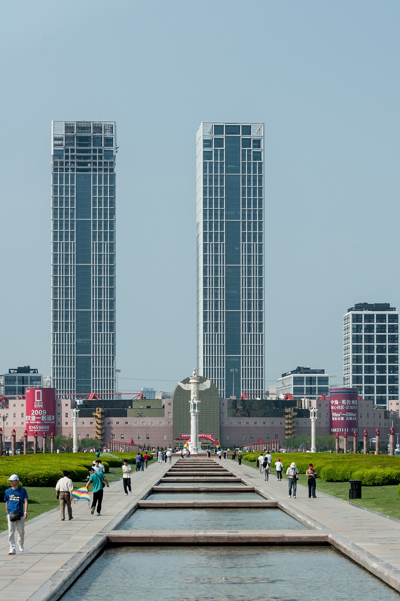
The Northern Pearl — China's most romantic coastal city.
Dalian
City guide · 15 tours
The Northern Pearl — China's most romantic coastal city.
 Shenyang
City guide · 12 tours
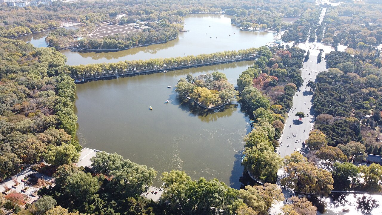
Where the Qing dynasty began — an imperial palace, a warlord's mansion and the cheapest good food in the northeast.
Shenyang
City guide · 12 tours
Where the Qing dynasty began — an imperial palace, a warlord's mansion and the cheapest good food in the northeast.
 Kunming
City guide · 12 tours
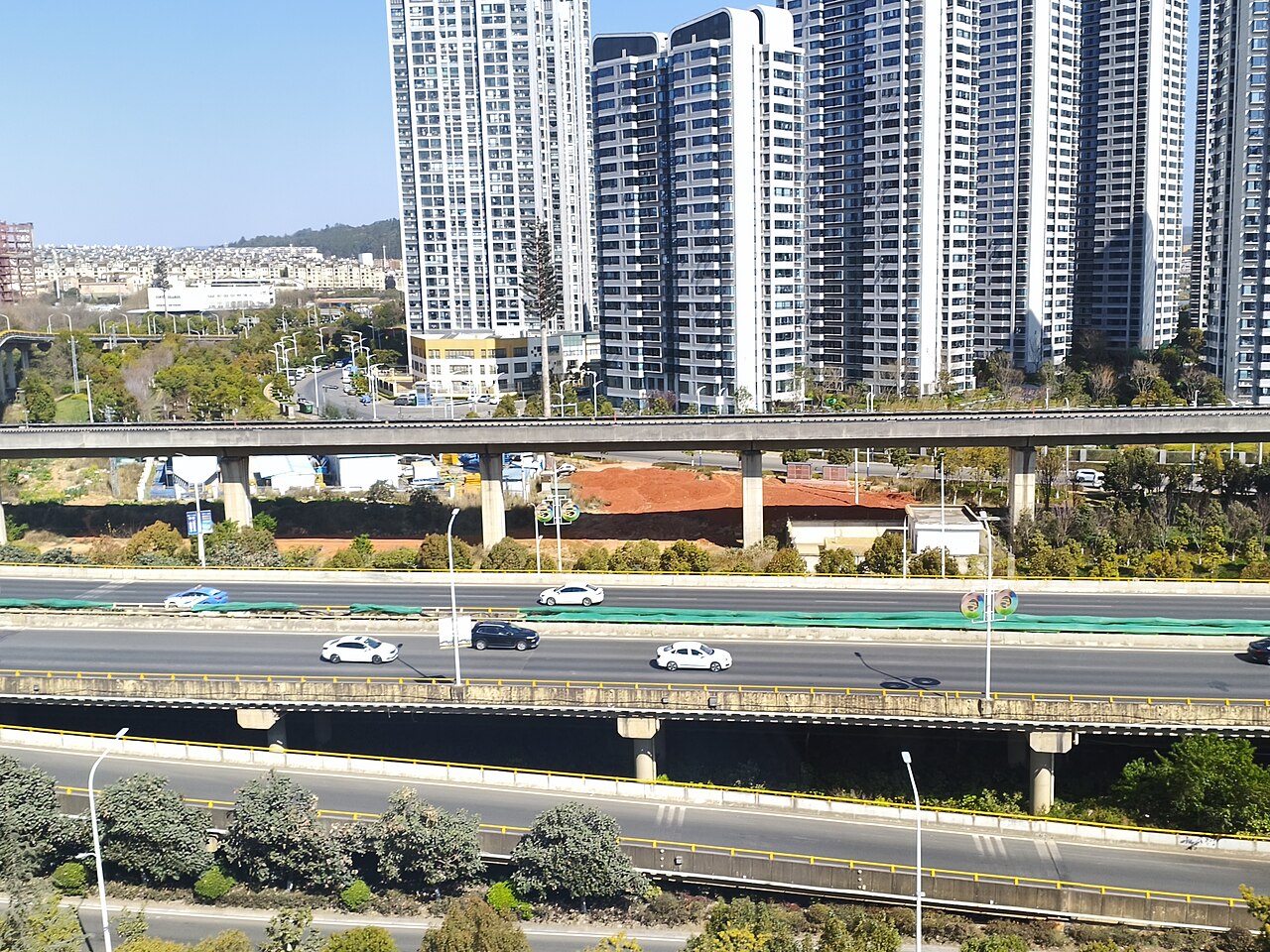
China's Spring City — a mild plateau capital of flowers, markets and the Stone Forest, with gulls on the lake in winter.
Kunming
City guide · 12 tours
China's Spring City — a mild plateau capital of flowers, markets and the Stone Forest, with gulls on the lake in winter.
 Dali
City guide · 12 tours
A walled Bai town between a 4,000 m mountain and a great lake — wind, flowers, snow and moon, and life at a slower speed.
Dali
City guide · 12 tours
A walled Bai town between a 4,000 m mountain and a great lake — wind, flowers, snow and moon, and life at a slower speed.
 Shuhe
City guide · 12 tours
The quiet version of Lijiang — a Tea Horse Road village of canals, stone bridges and slow afternoons, 4 km from the crowds.
Shuhe
City guide · 12 tours
The quiet version of Lijiang — a Tea Horse Road village of canals, stone bridges and slow afternoons, 4 km from the crowds.
 Lijiang
City guide · 12 tours
A UNESCO Naxi old town of canals and cobbles beneath a 5,596 m snow mountain — the cultural heart of north-west Yunnan.
Lijiang
City guide · 12 tours
A UNESCO Naxi old town of canals and cobbles beneath a 5,596 m snow mountain — the cultural heart of north-west Yunnan.
 Xiamen
City guide · 12 tours
A subtropical island city of temples, fishing-village lanes and the best street food in Fujian — with the car-free islet of Gulangyu a 20-minute ferry away.
Xiamen
City guide · 12 tours
A subtropical island city of temples, fishing-village lanes and the best street food in Fujian — with the car-free islet of Gulangyu a 20-minute ferry away.
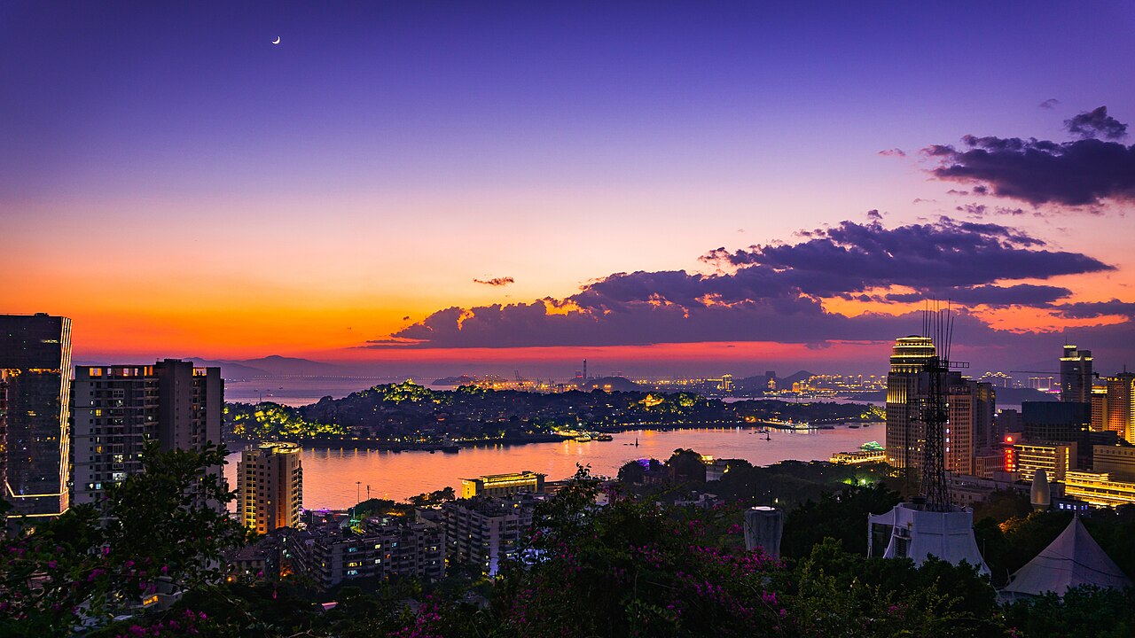 Gulangyu
City guide · 12 tours
A car-free island of colonial villas, pianos and cats, twenty minutes off Xiamen — and the one place where the trick is simply to stay the night.
Gulangyu
City guide · 12 tours
A car-free island of colonial villas, pianos and cats, twenty minutes off Xiamen — and the one place where the trick is simply to stay the night.
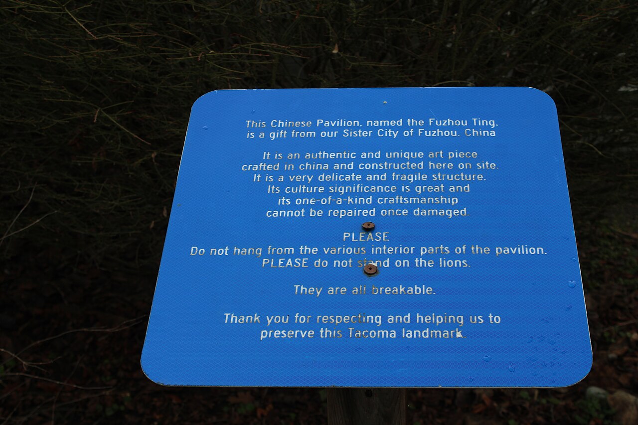 Fuzhou
City guide · 12 tours
A 2,200-year-old capital of banyan trees and mountains-within-the-city, where the Ming lanes of Sanfang Qixiang meet the dockyard that built China's modern navy.
Fuzhou
City guide · 12 tours
A 2,200-year-old capital of banyan trees and mountains-within-the-city, where the Ming lanes of Sanfang Qixiang meet the dockyard that built China's modern navy.
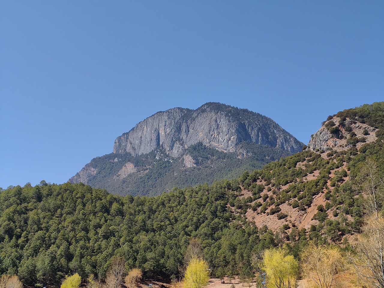 Lugu Lake
City guide · 12 tours
A 2,680 m lake on the Yunnan–Sichuan border, home to China's last matrilineal people, pig-trough canoes and a great deal of doing nothing.
Lugu Lake
City guide · 12 tours
A 2,680 m lake on the Yunnan–Sichuan border, home to China's last matrilineal people, pig-trough canoes and a great deal of doing nothing.
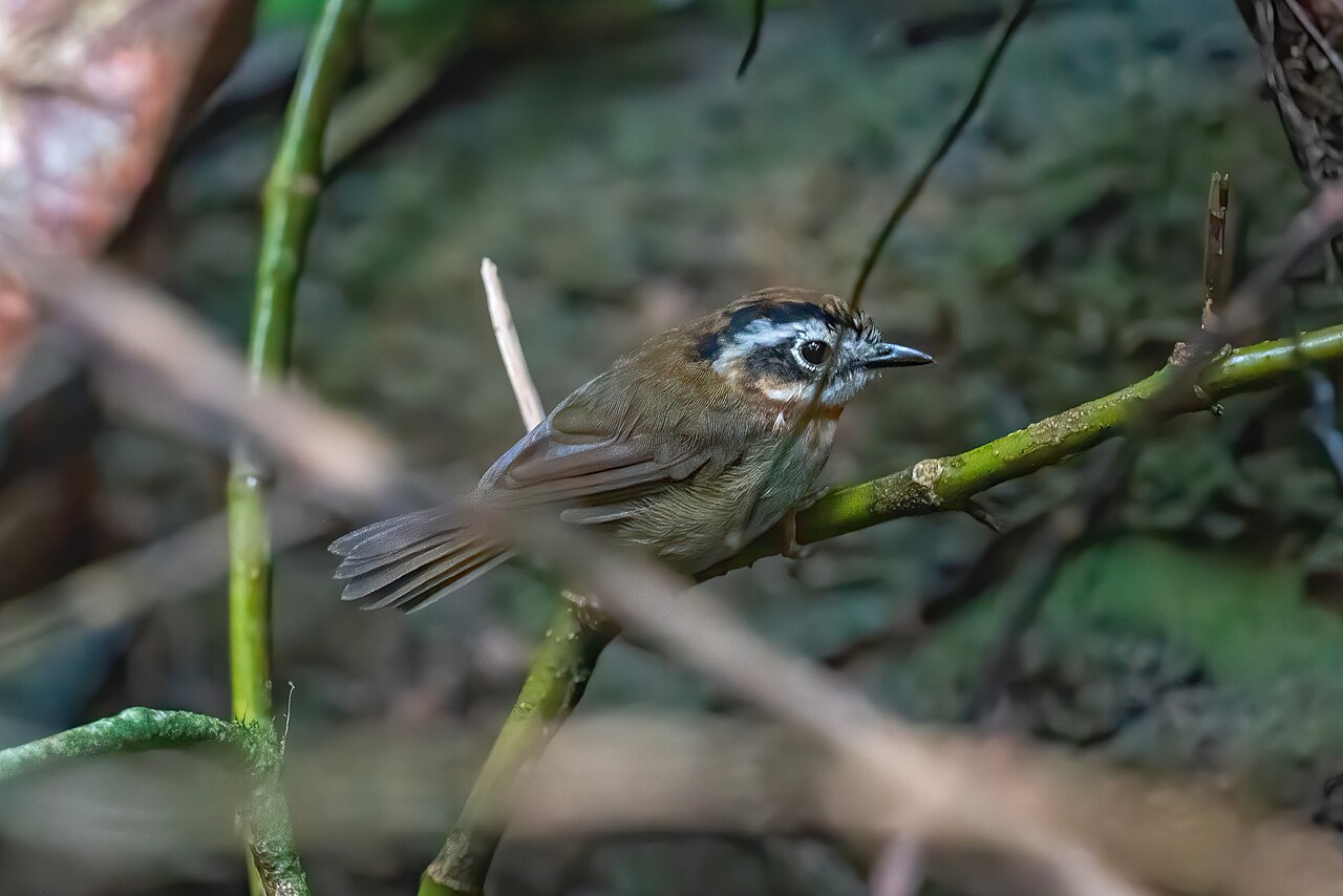 Xishuangbanna
City guide · 12 tours
China's tropical south — rainforest, wild elephants, Dai villages and the Mekong, wrapped around the gateway city of Jinghong.
Xishuangbanna
City guide · 12 tours
China's tropical south — rainforest, wild elephants, Dai villages and the Mekong, wrapped around the gateway city of Jinghong.
 Shangri-La
City guide · 12 tours
A Tibetan town at 3,300 m in Yunnan's Diqing prefecture — monasteries, grassland, prayer wheels and cold thin air.
Shangri-La
City guide · 12 tours
A Tibetan town at 3,300 m in Yunnan's Diqing prefecture — monasteries, grassland, prayer wheels and cold thin air.
 Nanchang
City guide · 12 tours
Jiangxi's 'hero city' on the Gan River — one great Tang pavilion, a 160-metre Ferris wheel, and the best claypot soup you will eat in China.
Nanchang
City guide · 12 tours
Jiangxi's 'hero city' on the Gan River — one great Tang pavilion, a 160-metre Ferris wheel, and the best claypot soup you will eat in China.
 Hefei
City guide · 12 tours
Anhui's 2,000-year-old capital: the hometown of China's model judge, a moat-turned-garden ring, and the fast rail gateway to Huangshan.
Hefei
City guide · 12 tours
Anhui's 2,000-year-old capital: the hometown of China's model judge, a moat-turned-garden ring, and the fast rail gateway to Huangshan.
 Hongcun
City guide · 12 tours
A 900-year-old Hui village laid out as an ox, with water running to every door and a mirror-still crescent pond at its heart.
Hongcun
City guide · 12 tours
A 900-year-old Hui village laid out as an ox, with water running to every door and a mirror-still crescent pond at its heart.
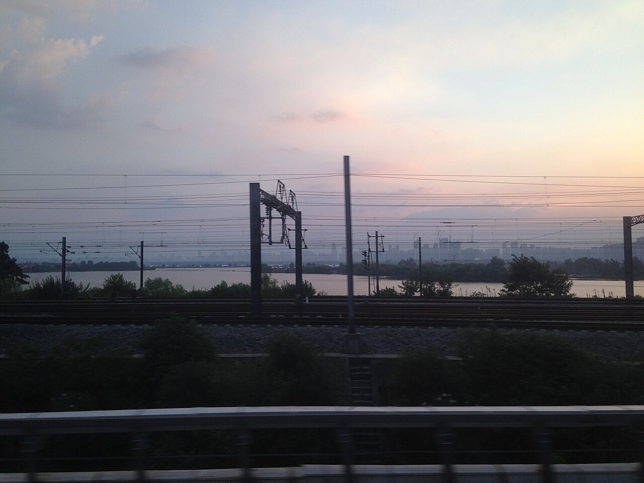 Wuhan
City guide · 12 tours
Three towns, two rivers and the best breakfast in China — a huge, blunt river city of bridges, lakes and cheap, brilliant street food.
Wuhan
City guide · 12 tours
Three towns, two rivers and the best breakfast in China — a huge, blunt river city of bridges, lakes and cheap, brilliant street food.
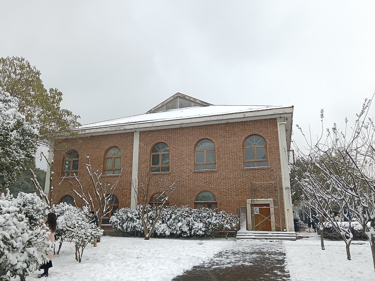 Changsha
City guide · 12 tours
Hunan's loud, young capital: a 3,000-year-old city that eats chilli-hot food, stays up all night and treats foot massage as a civic duty.
Changsha
City guide · 12 tours
Hunan's loud, young capital: a 3,000-year-old city that eats chilli-hot food, stays up all night and treats foot massage as a civic duty.
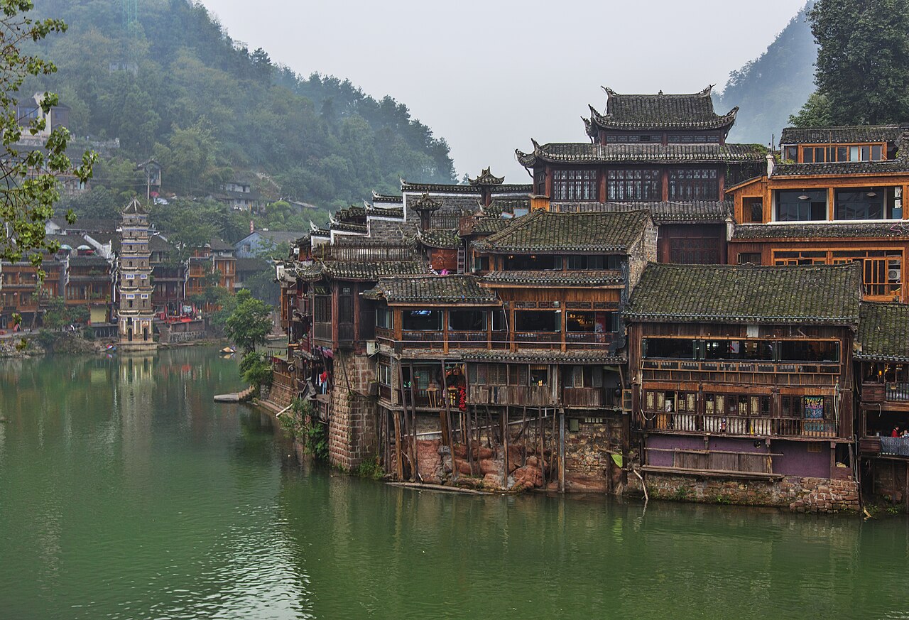 Fenghuang Ancient Town
City guide · 12 tours
The stilt-house river town of Shen Congwen's 'Border Town' — glowing lanterns, stepping stones and the best two nights in western Hunan.
Fenghuang Ancient Town
City guide · 12 tours
The stilt-house river town of Shen Congwen's 'Border Town' — glowing lanterns, stepping stones and the best two nights in western Hunan.
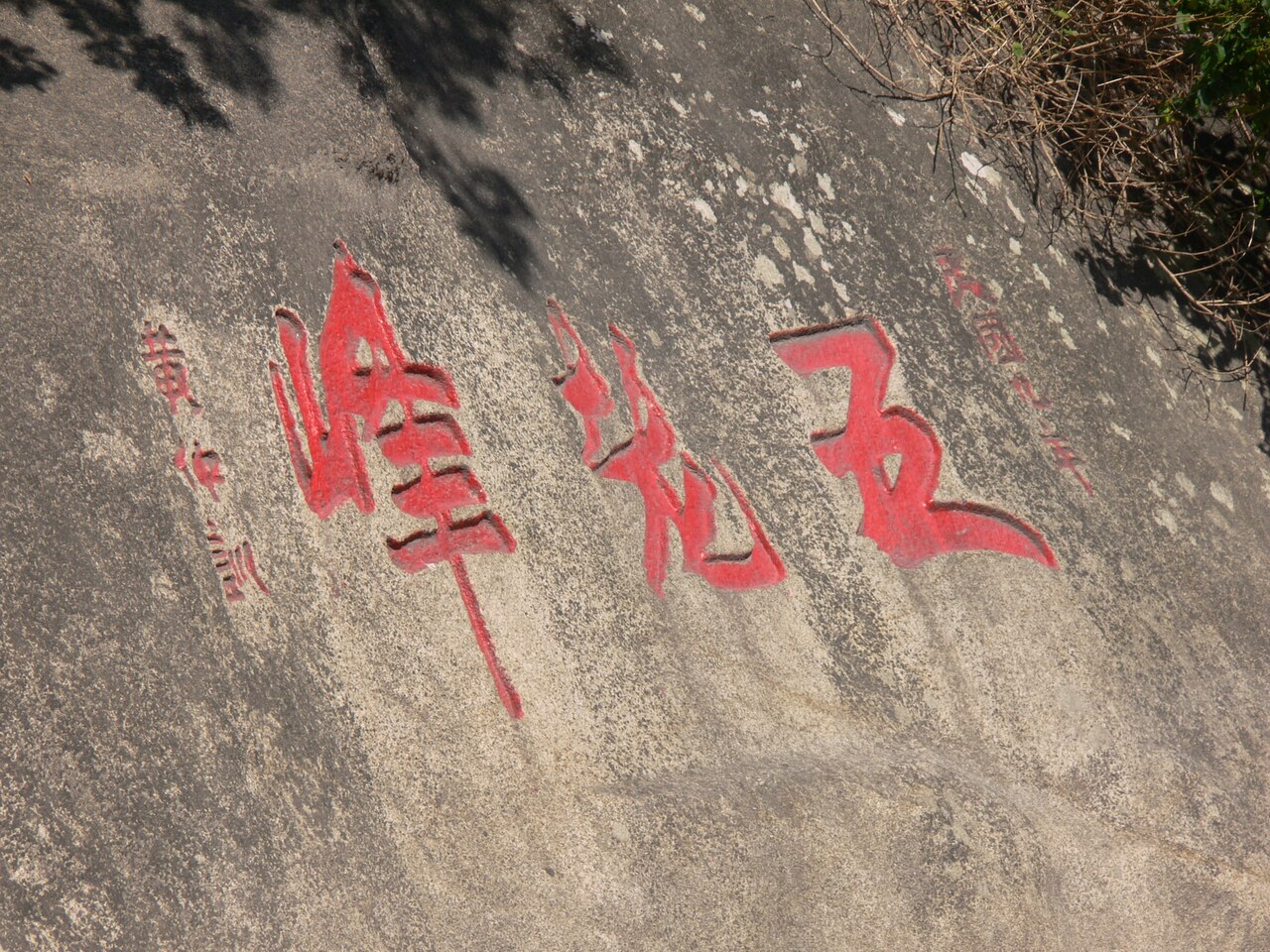 Lushan
City guide · 12 tours
A cloud-wrapped granite mountain with a Victorian hill station on top, waterfalls in three tiers, and the mist that Su Shi said you could never see through.
Lushan
City guide · 12 tours
A cloud-wrapped granite mountain with a Victorian hill station on top, waterfalls in three tiers, and the mist that Su Shi said you could never see through.
 Wuyuan
City guide · 12 tours
China's 'most beautiful countryside' — dozens of white-walled Huizhou villages strung along streams and terraced into the hills, and two weeks a year of gold.
Wuyuan
City guide · 12 tours
China's 'most beautiful countryside' — dozens of white-walled Huizhou villages strung along streams and terraced into the hills, and two weeks a year of gold.
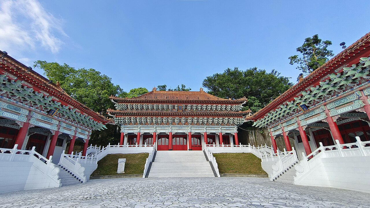 Mount Heng (Hengshan, Hunan)
City guide · 12 tours
The South Great Peak: a pilgrimage mountain of 72 summits where the temples run all the way to the top, and the sunrise over the cloud sea is the whole point.
Mount Heng (Hengshan, Hunan)
City guide · 12 tours
The South Great Peak: a pilgrimage mountain of 72 summits where the temples run all the way to the top, and the sunrise over the cloud sea is the whole point.
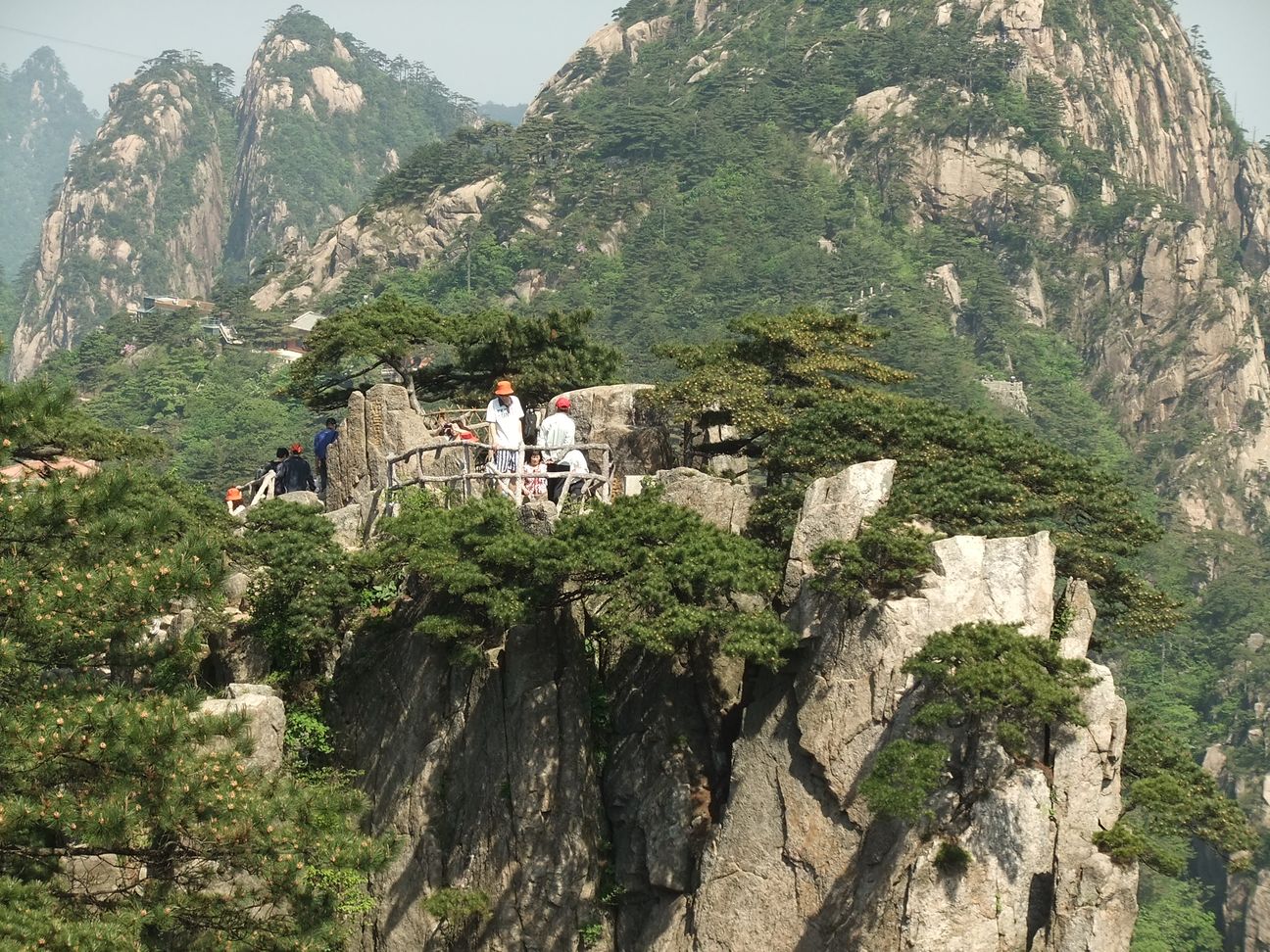 Huangshan
City guide · 12 tours
Yellow Mountain: 82 granite peaks of twisted pines and grotesque rock, a sea of cloud that changes by the hour, and hot springs at the foot.
Huangshan
City guide · 12 tours
Yellow Mountain: 82 granite peaks of twisted pines and grotesque rock, a sea of cloud that changes by the hour, and hot springs at the foot.
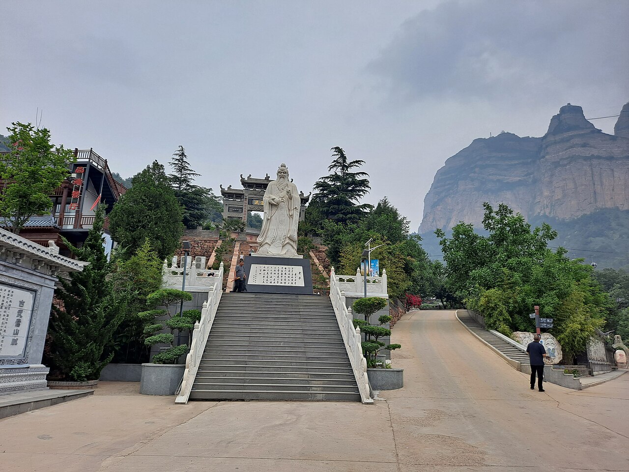 Wudang Mountain
City guide · 12 tours
The Taoist first mountain of China — a gilded bronze hall on a 1,612 m summit, temples hung off cliff faces, and the birthplace of tai chi.
Wudang Mountain
City guide · 12 tours
The Taoist first mountain of China — a gilded bronze hall on a 1,612 m summit, temples hung off cliff faces, and the birthplace of tai chi.
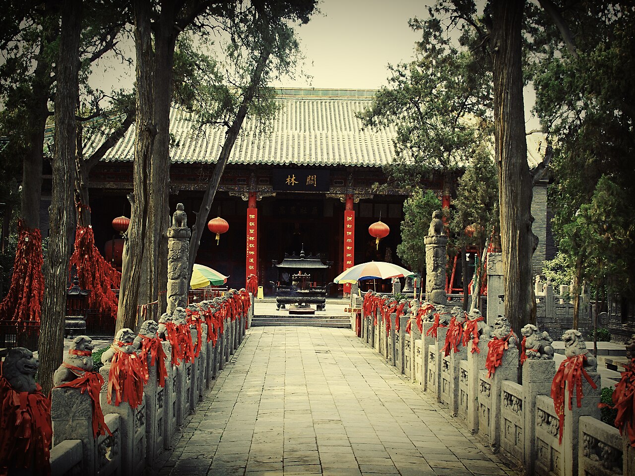 Luoyang
City guide · 12 tours
Thirteen dynasties, 100,000 Buddhas carved into a river cliff, China's first Buddhist temple — and a whole city that turns peony-pink every April.
Luoyang
City guide · 12 tours
Thirteen dynasties, 100,000 Buddhas carved into a river cliff, China's first Buddhist temple — and a whole city that turns peony-pink every April.
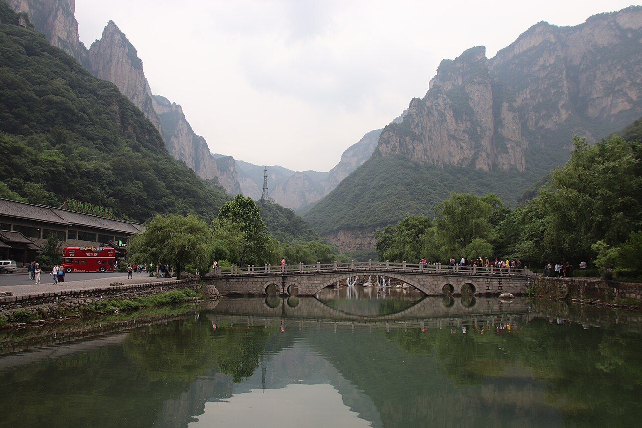 Yuntai Mountain
City guide · 12 tours
A UNESCO geopark in Henan where red-stone gorges squeeze a river to a slot, a 314 m waterfall drops in one plunge, and every path leads to another pool.
Yuntai Mountain
City guide · 12 tours
A UNESCO geopark in Henan where red-stone gorges squeeze a river to a slot, a 314 m waterfall drops in one plunge, and every path leads to another pool.
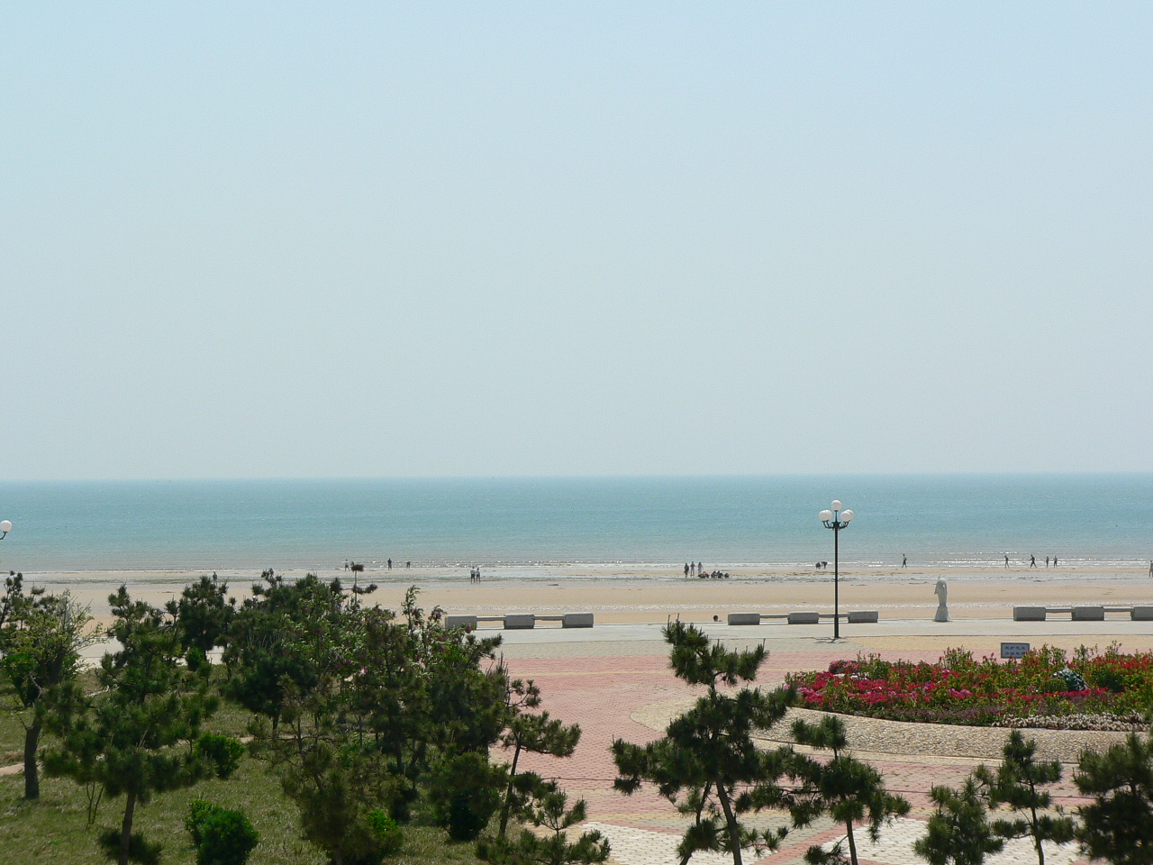 Rizhao
City guide · 12 tours
A low-key Shandong beach town where the sun rises straight out of the Yellow Sea, the sand runs 60 km and a seafood dinner costs less than a coffee in Shanghai.
Rizhao
City guide · 12 tours
A low-key Shandong beach town where the sun rises straight out of the Yellow Sea, the sand runs 60 km and a seafood dinner costs less than a coffee in Shanghai.
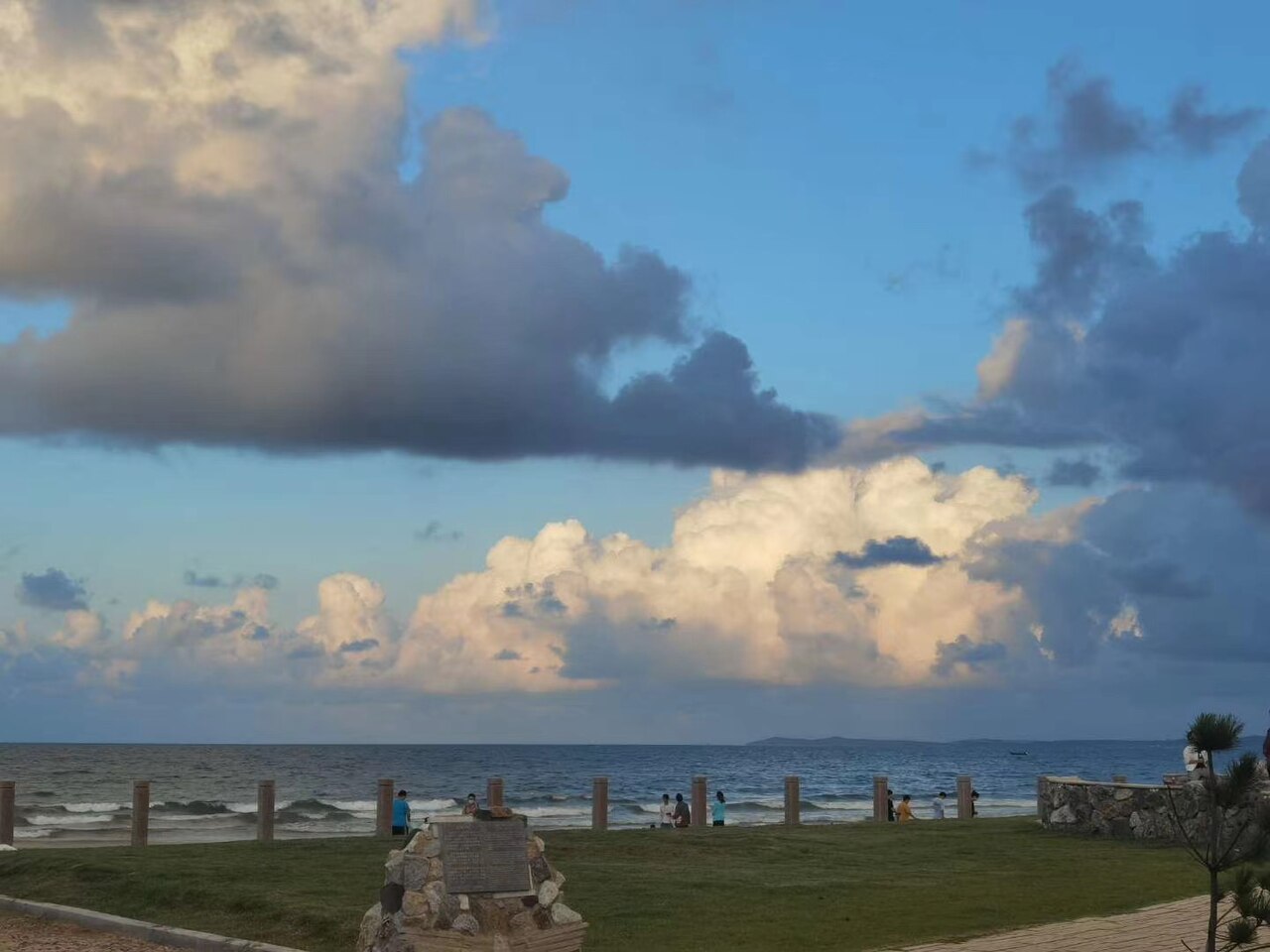 Yantai
City guide · 12 tours
A northern Shandong port of fairy-tale cliffs, wine cellars and long golden beaches — where emperors once hunted the elixir of life and China's wine industry still begins.
Yantai
City guide · 12 tours
A northern Shandong port of fairy-tale cliffs, wine cellars and long golden beaches — where emperors once hunted the elixir of life and China's wine industry still begins.
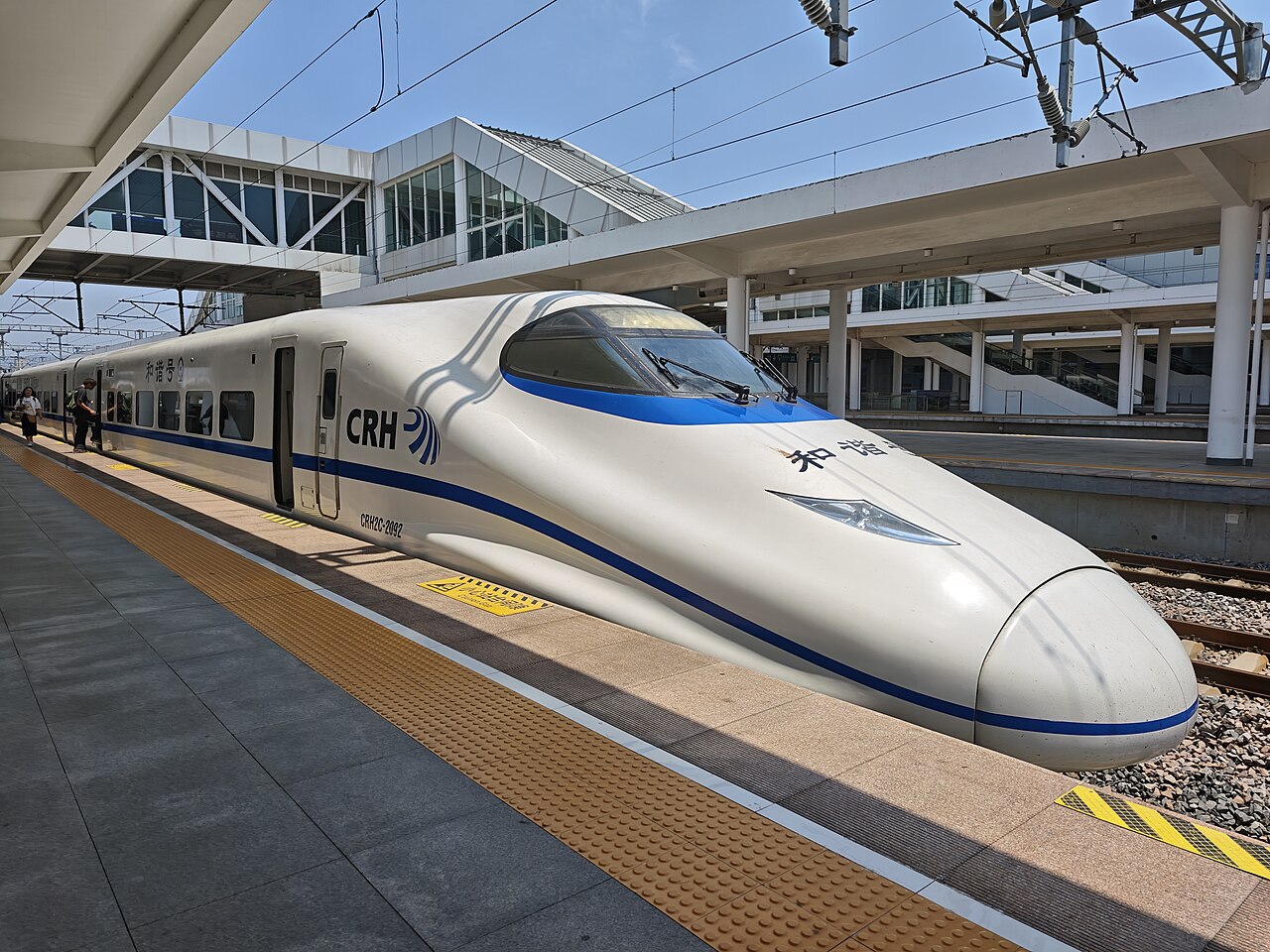 Lianyungang
City guide · 12 tours
A working Jiangsu port with a myth in the middle of it — the Flower-Fruit Mountain of Journey to the West, a sea causeway to a big island beach, and some of the cheapest seafood on the coast.
Lianyungang
City guide · 12 tours
A working Jiangsu port with a myth in the middle of it — the Flower-Fruit Mountain of Journey to the West, a sea causeway to a big island beach, and some of the cheapest seafood on the coast.
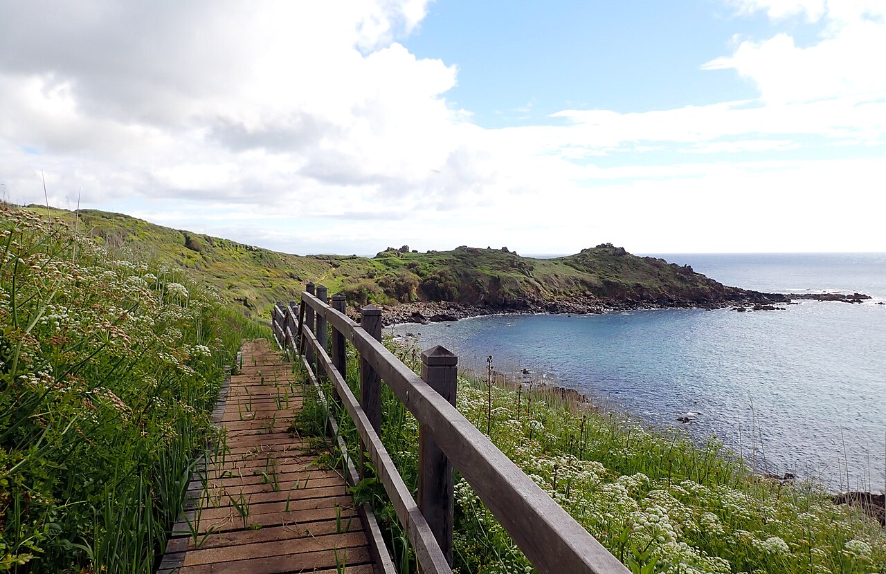 Sanqing Mountain
City guide · 12 tours
A vertical forest of granite pillars in Jiangxi — the Python Out of the Mountain, the Goddess of the East Sea, two cable cars and a cliff-hugging walkway at 1,660 metres.
Sanqing Mountain
City guide · 12 tours
A vertical forest of granite pillars in Jiangxi — the Python Out of the Mountain, the Goddess of the East Sea, two cable cars and a cliff-hugging walkway at 1,660 metres.
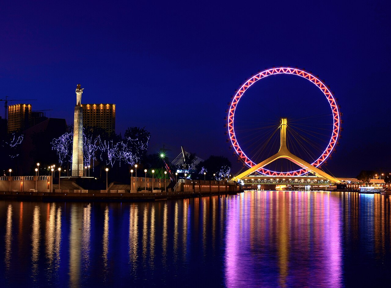 Tianjin
City guide · 12 tours
Beijing's port city next door — a river of 24 bridges, 2,000 colonial villas, and the best street breakfast in northern China.
Tianjin
City guide · 12 tours
Beijing's port city next door — a river of 24 bridges, 2,000 colonial villas, and the best street breakfast in northern China.
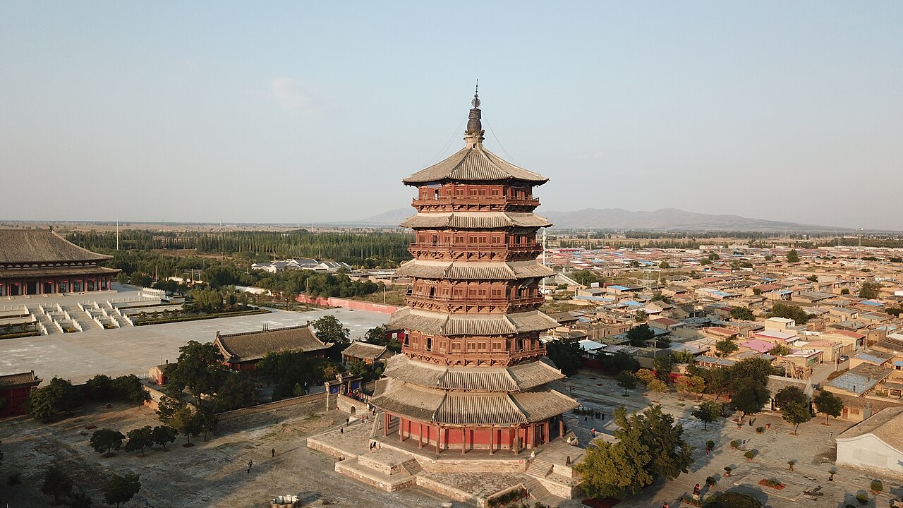 Datong
City guide · 12 tours
A frontier capital of carved Buddhas — the Yungang Grottoes, a temple pinned to a cliff, and the oldest wooden tower in China.
Datong
City guide · 12 tours
A frontier capital of carved Buddhas — the Yungang Grottoes, a temple pinned to a cliff, and the oldest wooden tower in China.
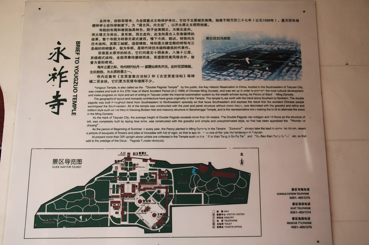 Taiyuan
City guide · 12 tours
Shanxi's provincial capital and noodle heartland — the spring of Jinci, two Ming pagodas, and a museum that explains the whole province.
Taiyuan
City guide · 12 tours
Shanxi's provincial capital and noodle heartland — the spring of Jinci, two Ming pagodas, and a museum that explains the whole province.
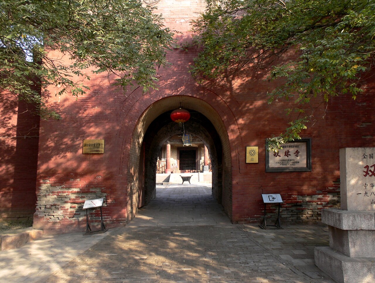 Pingyao
City guide · 12 tours
China's best-preserved ancient walled town — a Ming wall, the first Chinese bank, and two temples of painted clay just outside the gates.
Pingyao
City guide · 12 tours
China's best-preserved ancient walled town — a Ming wall, the first Chinese bank, and two temples of painted clay just outside the gates.
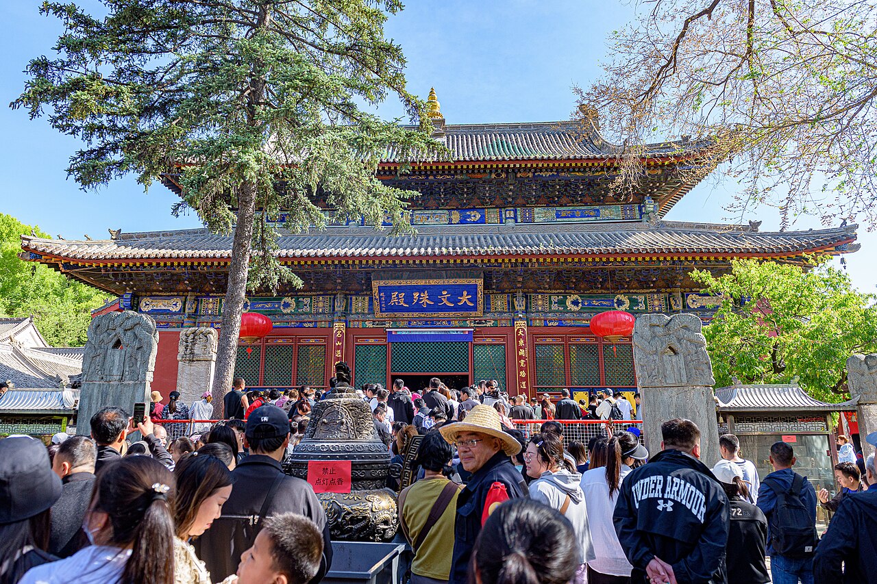 Wutai Mountain
City guide · 12 tours
China's foremost Buddhist mountain — fifty-plus temples in one valley, crowned by five flat-topped peaks up to 3,058 m.
Wutai Mountain
City guide · 12 tours
China's foremost Buddhist mountain — fifty-plus temples in one valley, crowned by five flat-topped peaks up to 3,058 m.
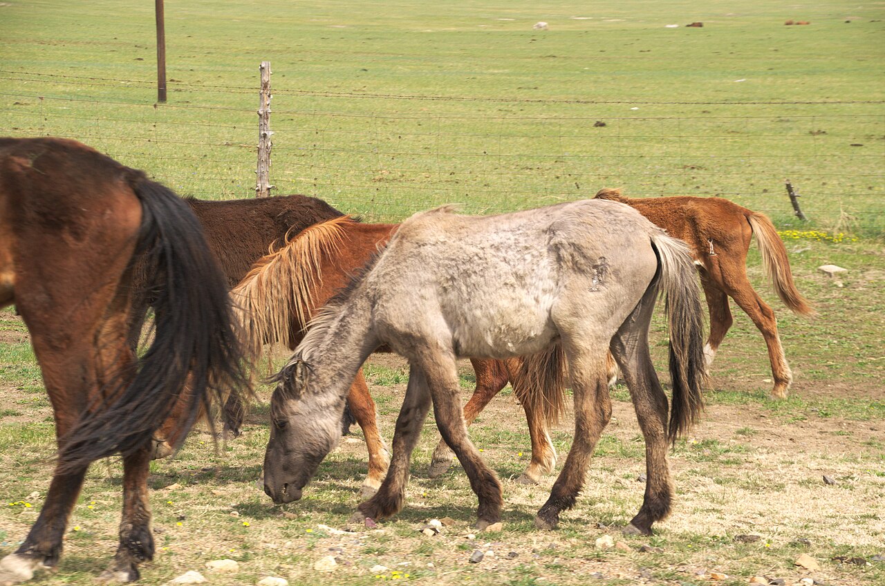 Hulunbuir
City guide · 12 tours
China's finest grassland — a 263,000 km² sweep of steppe, birch forest and border river, best driven with the windows down.
Hulunbuir
City guide · 12 tours
China's finest grassland — a 263,000 km² sweep of steppe, birch forest and border river, best driven with the windows down.
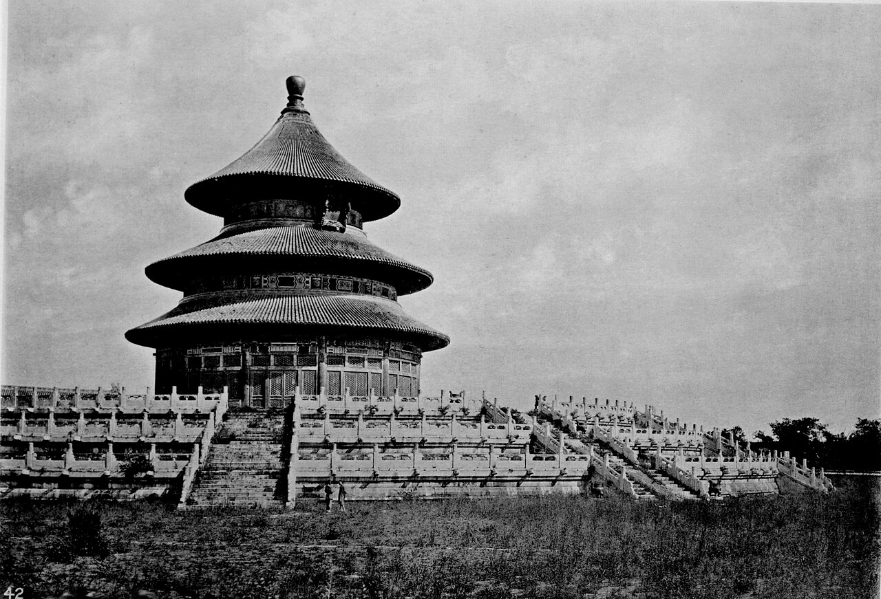 The Forbidden City
City guide · 12 tours
Beijing's 600-year imperial palace — 8,700 rooms behind a 72-hectare wall, and the largest surviving wooden palace complex on earth.
The Forbidden City
City guide · 12 tours
Beijing's 600-year imperial palace — 8,700 rooms behind a 72-hectare wall, and the largest surviving wooden palace complex on earth.
 Sanya
City guide · 12 tours
China's only true winter-sun coast — four very different bays, a coral island and a 108 m sea Buddha, all at 18° north.
Sanya
City guide · 12 tours
China's only true winter-sun coast — four very different bays, a coral island and a 108 m sea Buddha, all at 18° north.
 Haikou
City guide · 12 tours
Hainan's capital is the island's living city — 600-year-old arcade streets, a volcanic village, and a morning-tea-to-midnight food culture.
Haikou
City guide · 12 tours
Hainan's capital is the island's living city — 600-year-old arcade streets, a volcanic village, and a morning-tea-to-midnight food culture.
 Beihai
City guide · 12 tours
24 km of fine white sand on one side, a volcanic island of coral and lava on the other — plus a 19th-century arcade old street in between.
Beihai
City guide · 12 tours
24 km of fine white sand on one side, a volcanic island of coral and lava on the other — plus a 19th-century arcade old street in between.
 Nanning
City guide · 12 tours
Guangxi's green capital is a gateway to Detian Falls, Beihai and Vietnam — and a genuinely excellent food city if you let it slow you down.
Nanning
City guide · 12 tours
Guangxi's green capital is a gateway to Detian Falls, Beihai and Vietnam — and a genuinely excellent food city if you let it slow you down.
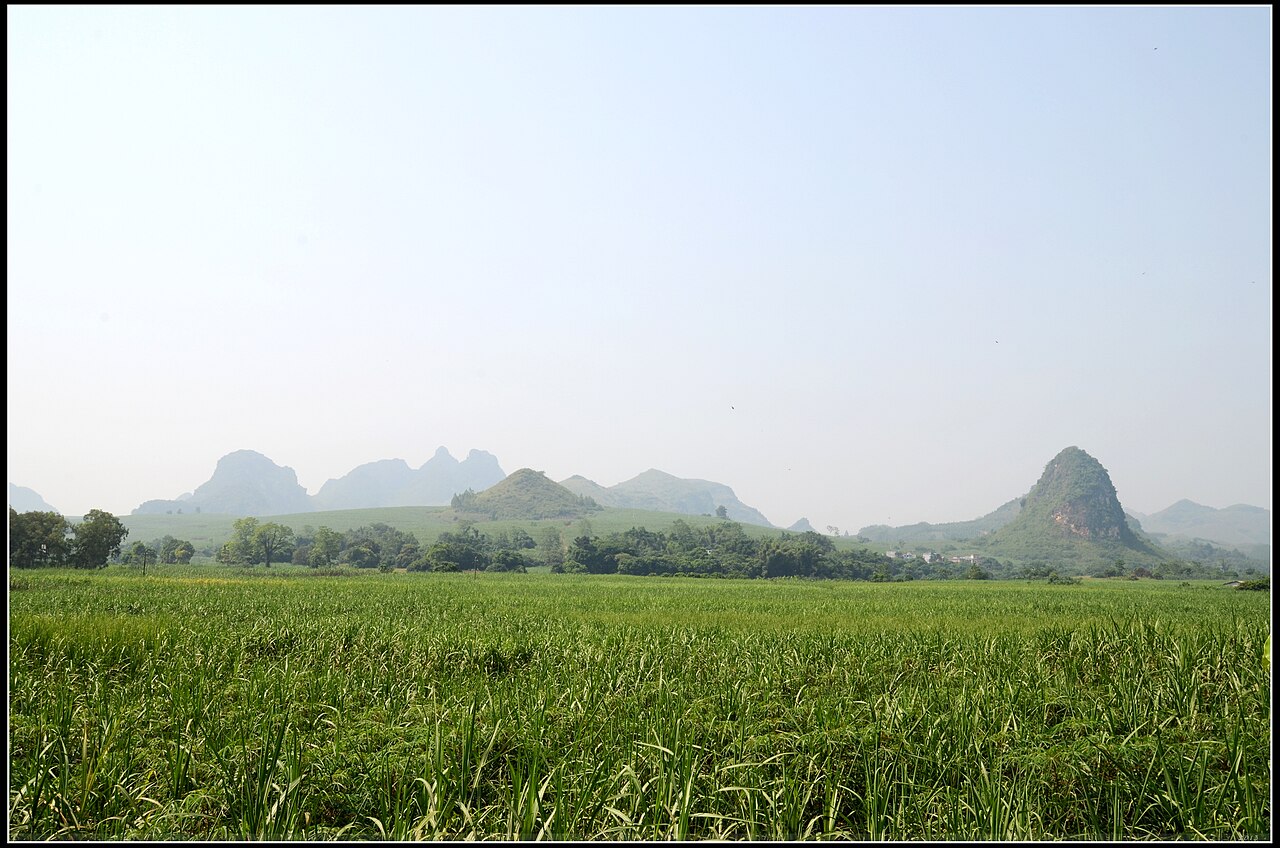 Guangxi
City guide · 12 tours
One autonomous region, a dozen landscapes — limestone peaks and rice terraces in the north, a Vietnam border and a warm gulf coast in the south.
Guangxi
City guide · 12 tours
One autonomous region, a dozen landscapes — limestone peaks and rice terraces in the north, a Vietnam border and a warm gulf coast in the south.
 Huizhou
City guide · 12 tours
A free West Lake, a Taoist mountain and 200 km of white-sand coast — the Pearl River Delta's most underrated weekend.
Huizhou
City guide · 12 tours
A free West Lake, a Taoist mountain and 200 km of white-sand coast — the Pearl River Delta's most underrated weekend.
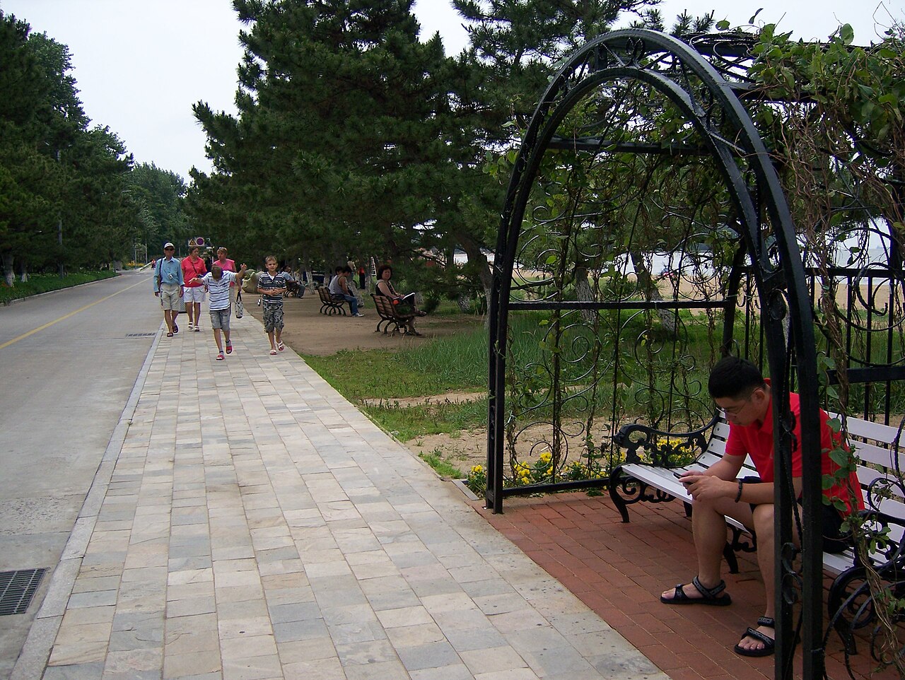 Beidaihe
City guide · 12 tours
Northern China's classic beach escape — one sunrise headland, 10 km of calm swimming water, and a bird flyway overhead twice a year.
Beidaihe
City guide · 12 tours
Northern China's classic beach escape — one sunrise headland, 10 km of calm swimming water, and a bird flyway overhead twice a year.
 Shanhaiguan
City guide · 12 tours
The town where the Great Wall stops being a rumour of mountains and walks into the Bohai Sea.
Shanhaiguan
City guide · 12 tours
The town where the Great Wall stops being a rumour of mountains and walks into the Bohai Sea.
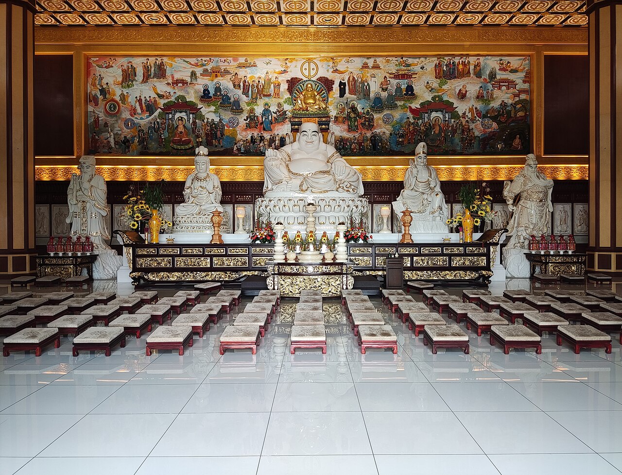 Baiyangdian
City guide · 12 tours
The biggest freshwater lake on the North China Plain — and almost none of it can be reached except by boat.
Baiyangdian
City guide · 12 tours
The biggest freshwater lake on the North China Plain — and almost none of it can be reached except by boat.
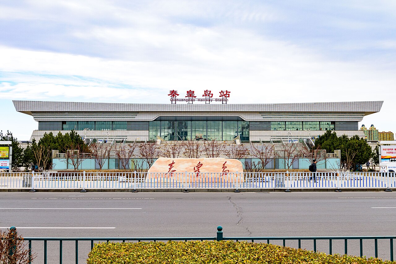 Qinhuangdao
City guide · 12 tours
126 km of Bohai coast in one municipality — a working port, two famous resorts, and the only desert dunes that meet this sea.
Qinhuangdao
City guide · 12 tours
126 km of Bohai coast in one municipality — a working port, two famous resorts, and the only desert dunes that meet this sea.
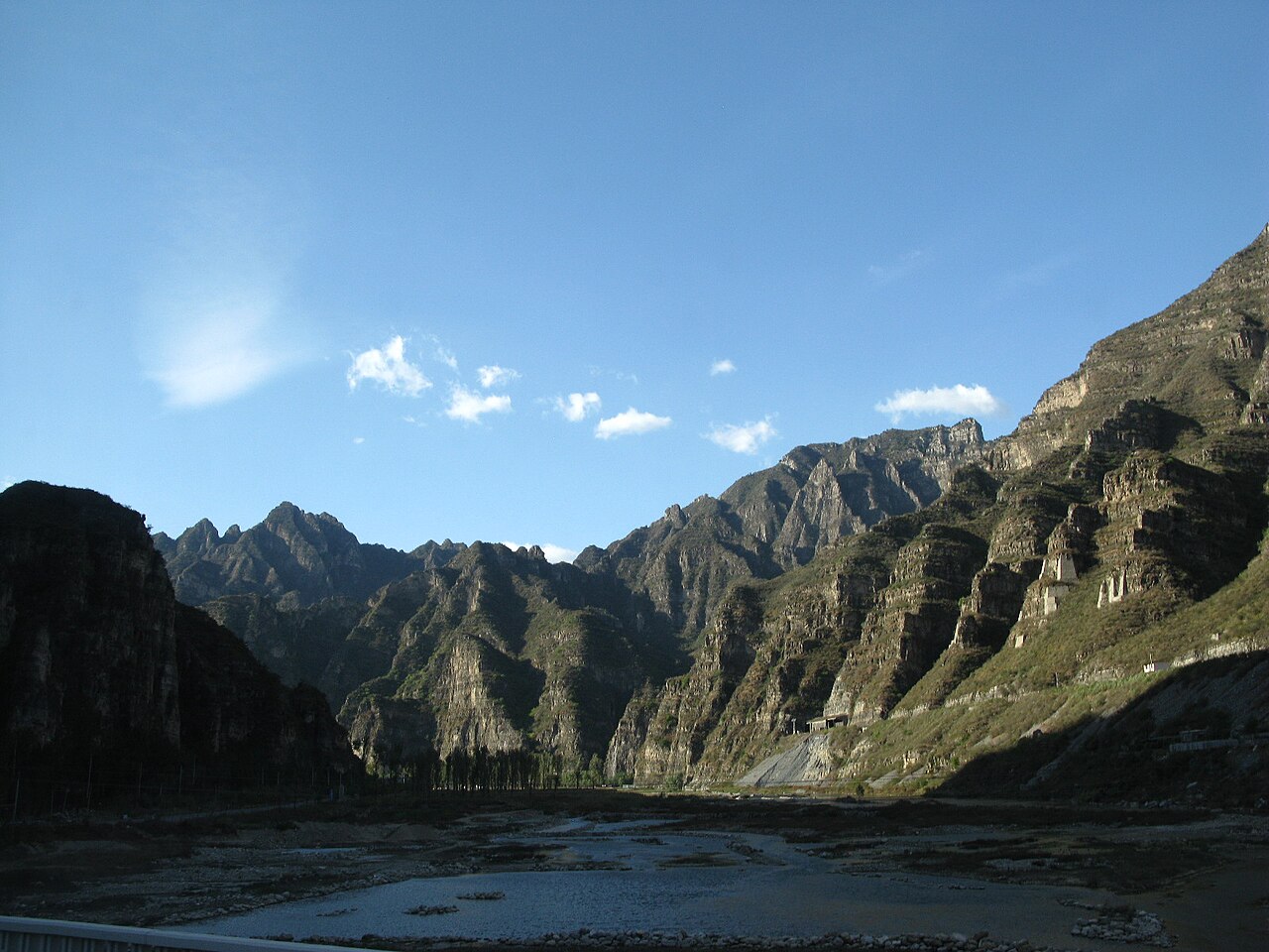 Yesanpo
City guide · 12 tours
Gorge country where the Taihang and Yan ranges collide — 52.5 km of canyon walls, a cave that spits fish, and a river to fall off.
Yesanpo
City guide · 12 tours
Gorge country where the Taihang and Yan ranges collide — 52.5 km of canyon walls, a cave that spits fish, and a river to fall off.
 Zhuhai
City guide · 12 tours
The delta's slow city: a 28 km promenade, 146 islands, oysters fattened where the river meets the sea.
Zhuhai
City guide · 12 tours
The delta's slow city: a 28 km promenade, 146 islands, oysters fattened where the river meets the sea.
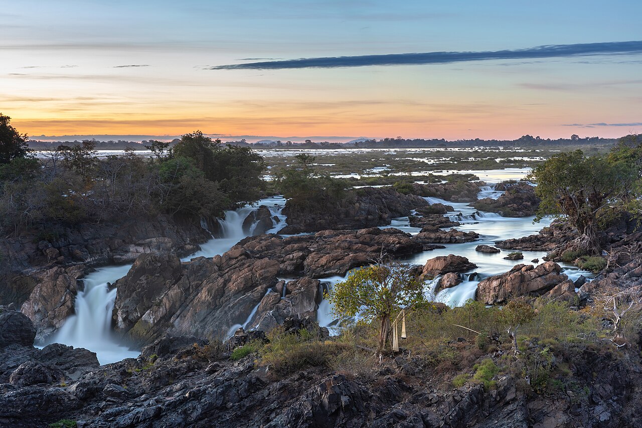 Wuyi Mountain
City guide · 12 tours
Nine bends of clear water, red sandstone cliffs, and the tea that made a mountain's name.
Wuyi Mountain
City guide · 12 tours
Nine bends of clear water, red sandstone cliffs, and the tea that made a mountain's name.
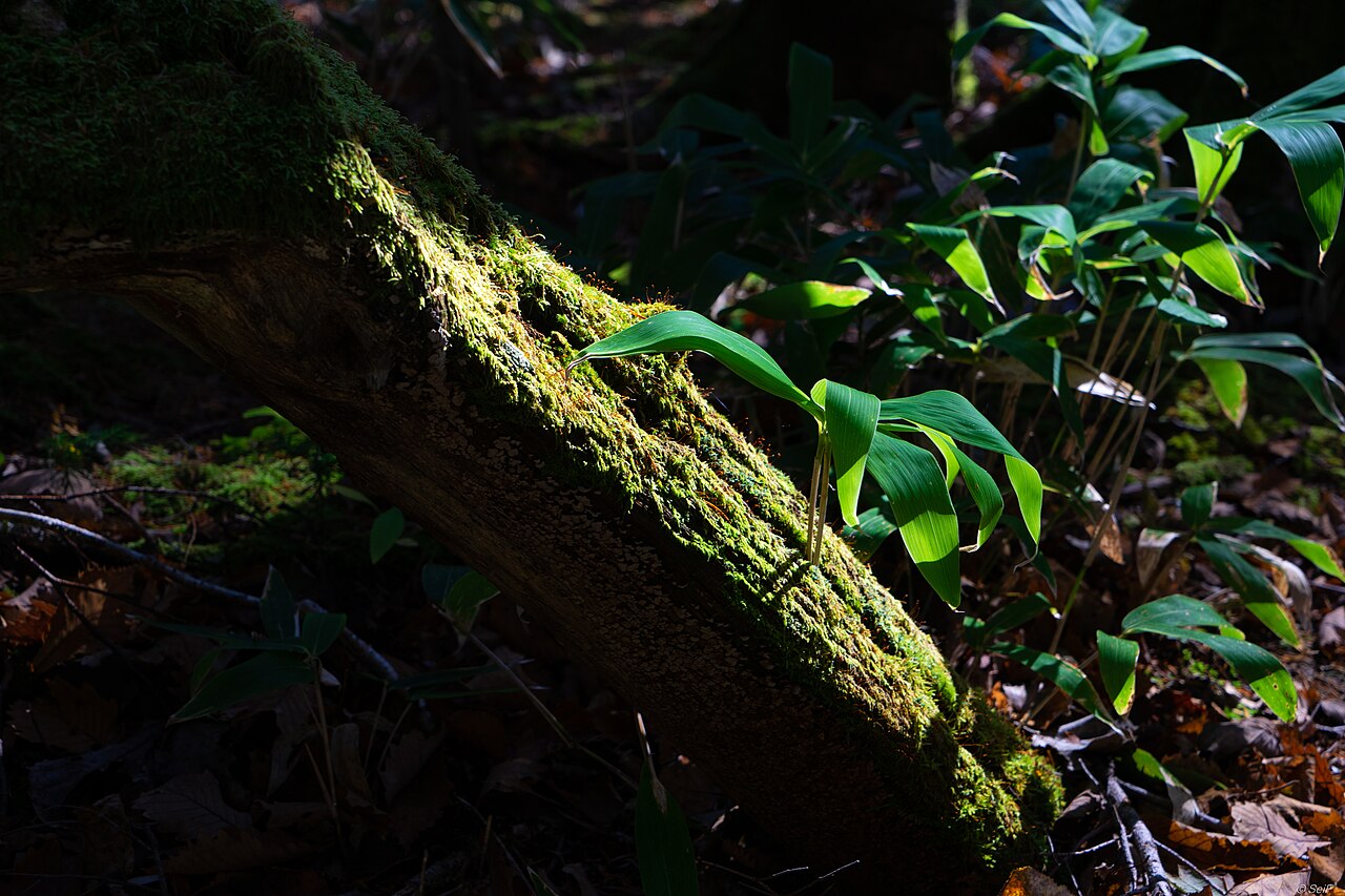 Jiuzhaigou
City guide · 12 tours
108 mineral-blue lakes in one 55 km valley — the place that ruins water everywhere else for you.
Jiuzhaigou
City guide · 12 tours
108 mineral-blue lakes in one 55 km valley — the place that ruins water everywhere else for you.
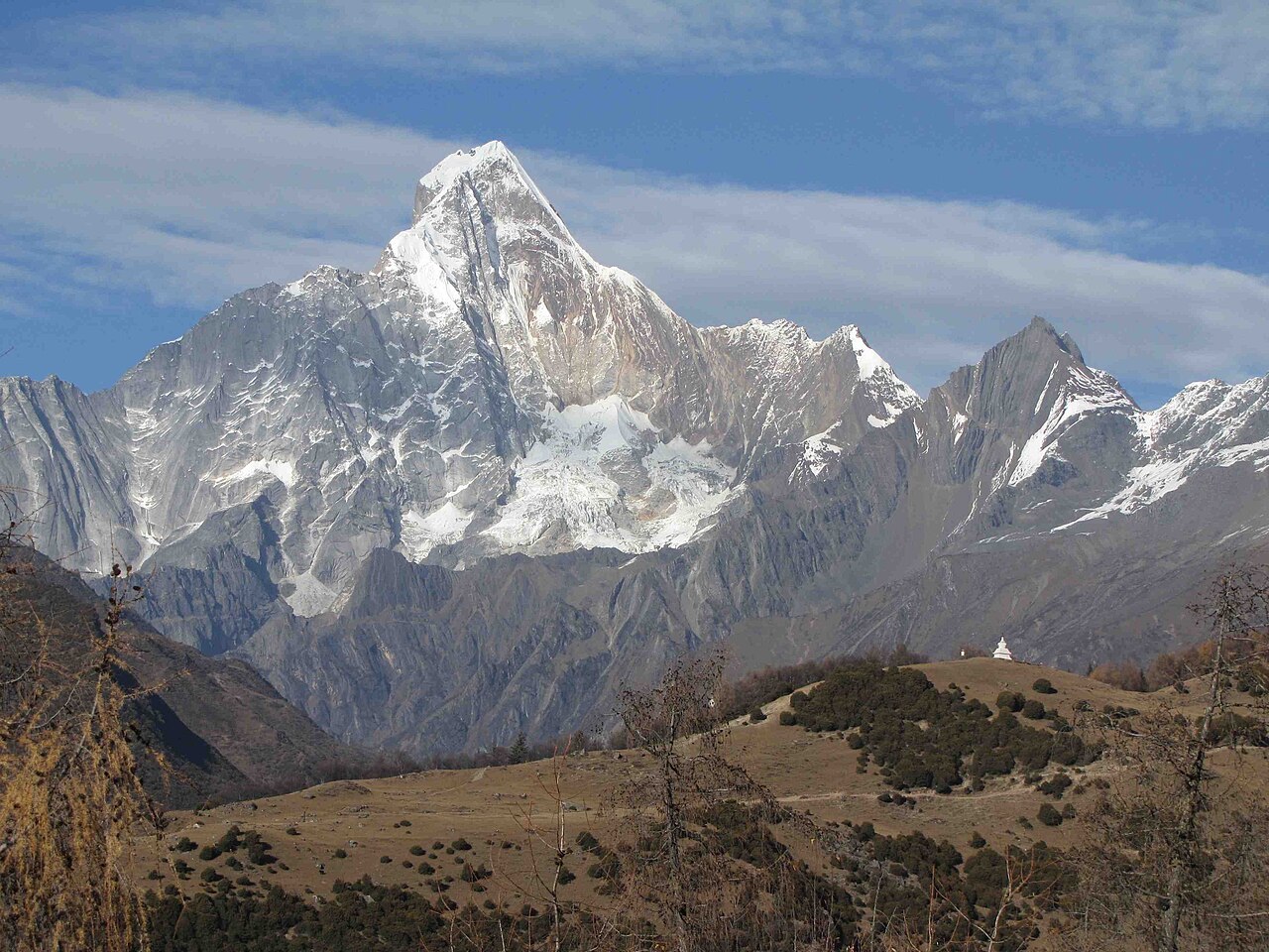 Mount Siguniang
City guide · 12 tours
Four snow peaks, three valleys, and the friendliest 5,000 m mountain in China to stand on top of.
Mount Siguniang
City guide · 12 tours
Four snow peaks, three valleys, and the friendliest 5,000 m mountain in China to stand on top of.
 Hailuogou
City guide · 12 tours
A glacier that comes down to 2,850 m, hot springs in the forest, and Gongga Shan filling the sky above both.
Hailuogou
City guide · 12 tours
A glacier that comes down to 2,850 m, hot springs in the forest, and Gongga Shan filling the sky above both.
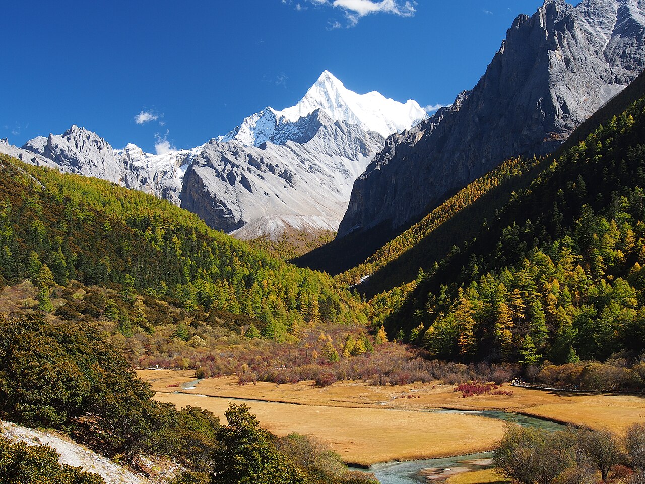 Daocheng Yading
City guide · 12 tours
Three 6,000 m sacred peaks, glacial lakes at 4,600 m and twenty hours of road — the hardest, highest payoff in Sichuan.
Daocheng Yading
City guide · 12 tours
Three 6,000 m sacred peaks, glacial lakes at 4,600 m and twenty hours of road — the hardest, highest payoff in Sichuan.
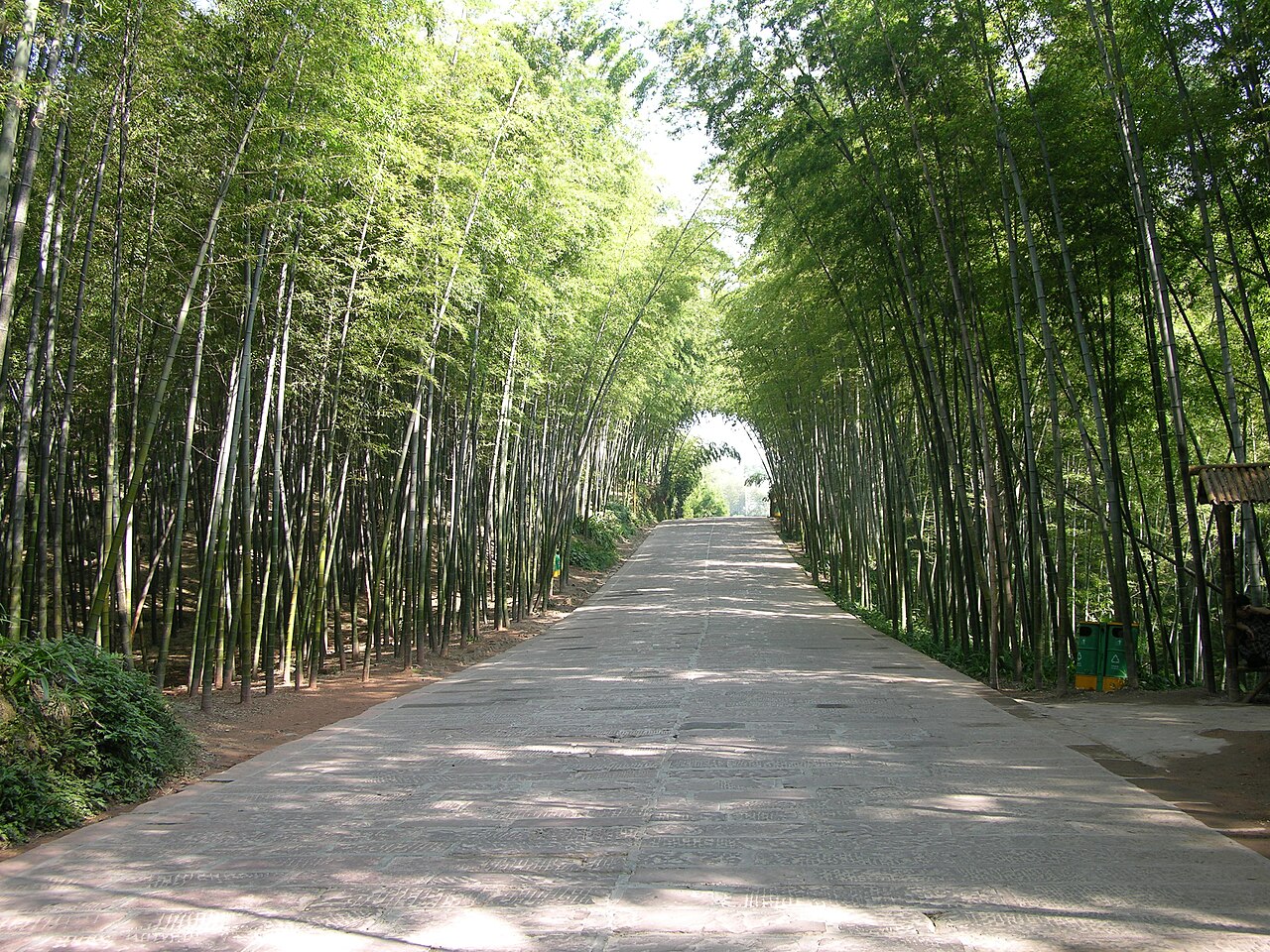 Shunan Bamboo Sea
City guide · 12 tours
Seventy thousand mu of bamboo over twenty-eight hills, a red sandstone corridor under a closed green roof, and a banquet made entirely of bamboo.
Shunan Bamboo Sea
City guide · 12 tours
Seventy thousand mu of bamboo over twenty-eight hills, a red sandstone corridor under a closed green roof, and a banquet made entirely of bamboo.
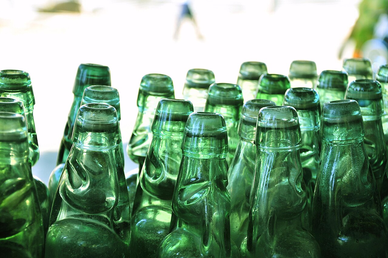 Dujiangyan
City guide · 12 tours
Not a monument but a machine: three pieces of engineering with no dam, still doing their job after 2,270 years.
Dujiangyan
City guide · 12 tours
Not a monument but a machine: three pieces of engineering with no dam, still doing their job after 2,270 years.
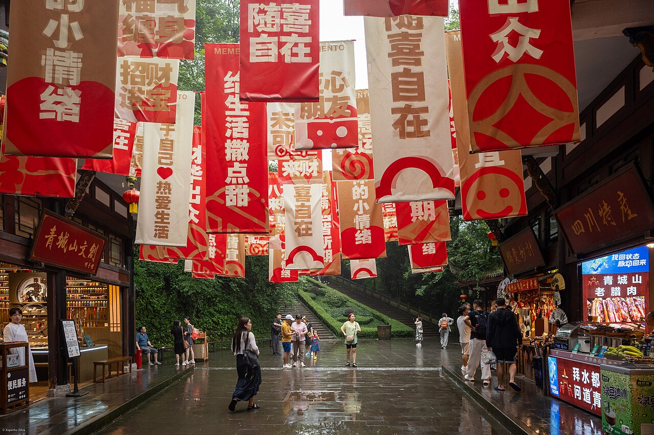 Qingcheng Mountain
City guide · 12 tours
The mountain where Daoism was organised, and the one Chengdu escapes to when the basin turns into an oven.
Qingcheng Mountain
City guide · 12 tours
The mountain where Daoism was organised, and the one Chengdu escapes to when the basin turns into an oven.
 Qingdao
City guide · 12 tours
Red-tiled roofs, cold beer and a granite mountain that walks straight into the sea — the easiest good time on the Yellow Sea.
Qingdao
City guide · 12 tours
Red-tiled roofs, cold beer and a granite mountain that walks straight into the sea — the easiest good time on the Yellow Sea.
 Mount Tai
City guide · 12 tours
1,545 metres, 6,290 stone steps and three thousand years of emperors — the one mountain in China that is also a document.
Mount Tai
City guide · 12 tours
1,545 metres, 6,290 stone steps and three thousand years of emperors — the one mountain in China that is also a document.
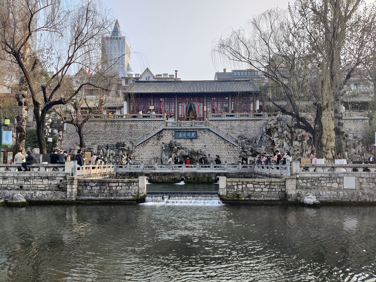 Jinan
City guide · 12 tours
A provincial capital with 700 springs under the pavement — people still queue at the spouts to fill their kettles.
Jinan
City guide · 12 tours
A provincial capital with 700 springs under the pavement — people still queue at the spouts to fill their kettles.
 Weihai
City guide · 12 tours
1,000 km of clean coast, a free bathing beach, the island where the Beiyang Fleet died — and thousands of wild swans every winter.
Weihai
City guide · 12 tours
1,000 km of clean coast, a free bathing beach, the island where the Beiyang Fleet died — and thousands of wild swans every winter.
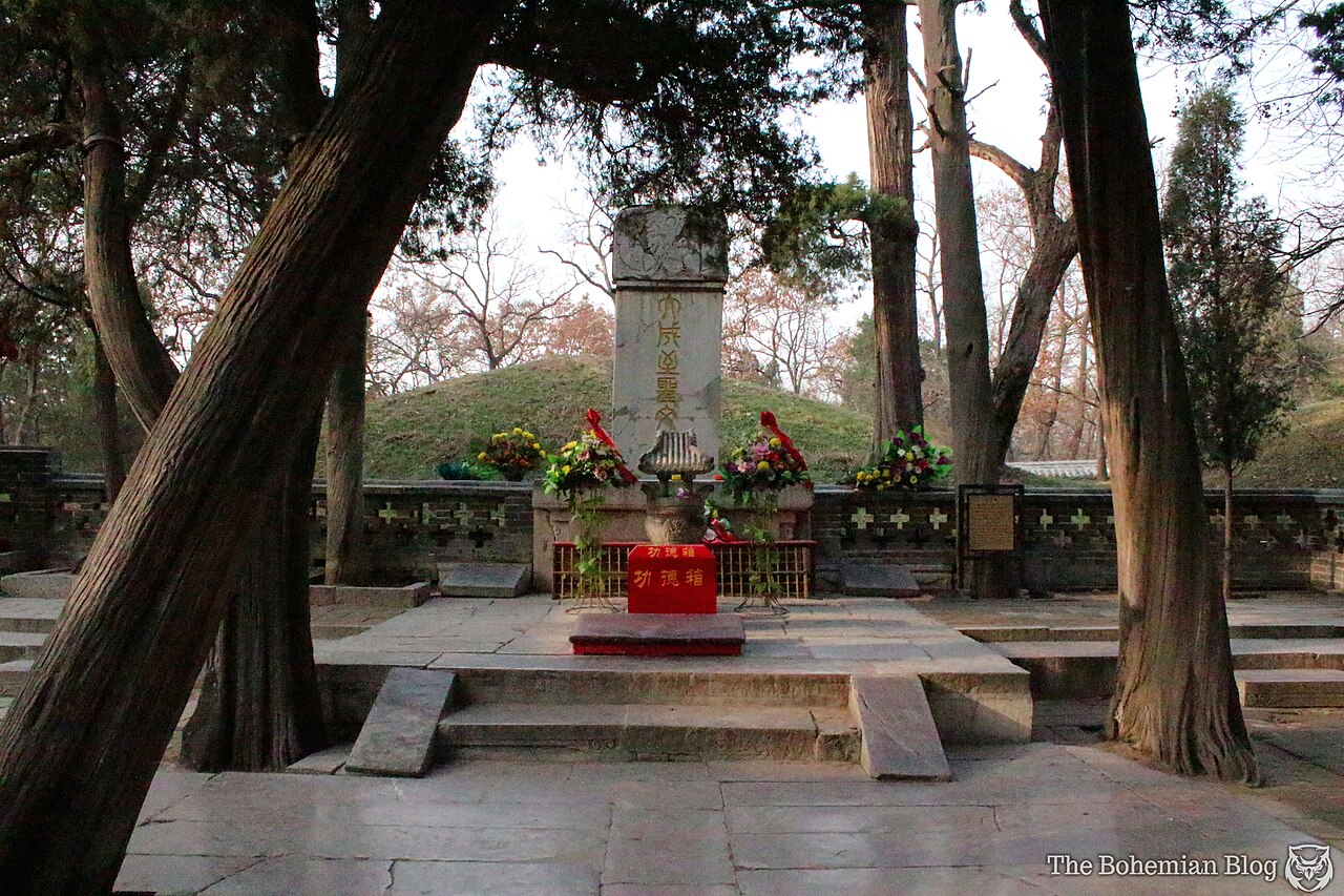 Qufu
City guide · 12 tours
One family, two thousand years of steles, and a ¥150 pass that covers the lot — the easiest serious day trip in Shandong.
Qufu
City guide · 12 tours
One family, two thousand years of steles, and a ¥150 pass that covers the lot — the easiest serious day trip in Shandong.
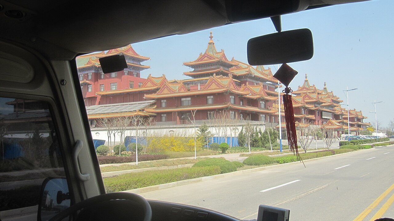 Penglai
City guide · 12 tours
China's immortals' coast — a Song-dynasty naval harbour you can walk for free, a mythology nobody ever found, and the ferry to 32 islands.
Penglai
City guide · 12 tours
China's immortals' coast — a Song-dynasty naval harbour you can walk for free, a mythology nobody ever found, and the ferry to 32 islands.
 Changdao
City guide · 12 tours
32 islands, one causeway, a ¥150 land pass, tens of thousands of gulls and nowhere you can drive — the place where everything happens by boat.
Changdao
City guide · 12 tours
32 islands, one causeway, a ¥150 land pass, tens of thousands of gulls and nowhere you can drive — the place where everything happens by boat.
 Nanjing
City guide · 12 tours
Capital of six dynasties, capital of the Republic, and the city that eats more duck than anywhere else on earth.
Nanjing
City guide · 12 tours
Capital of six dynasties, capital of the Republic, and the city that eats more duck than anywhere else on earth.
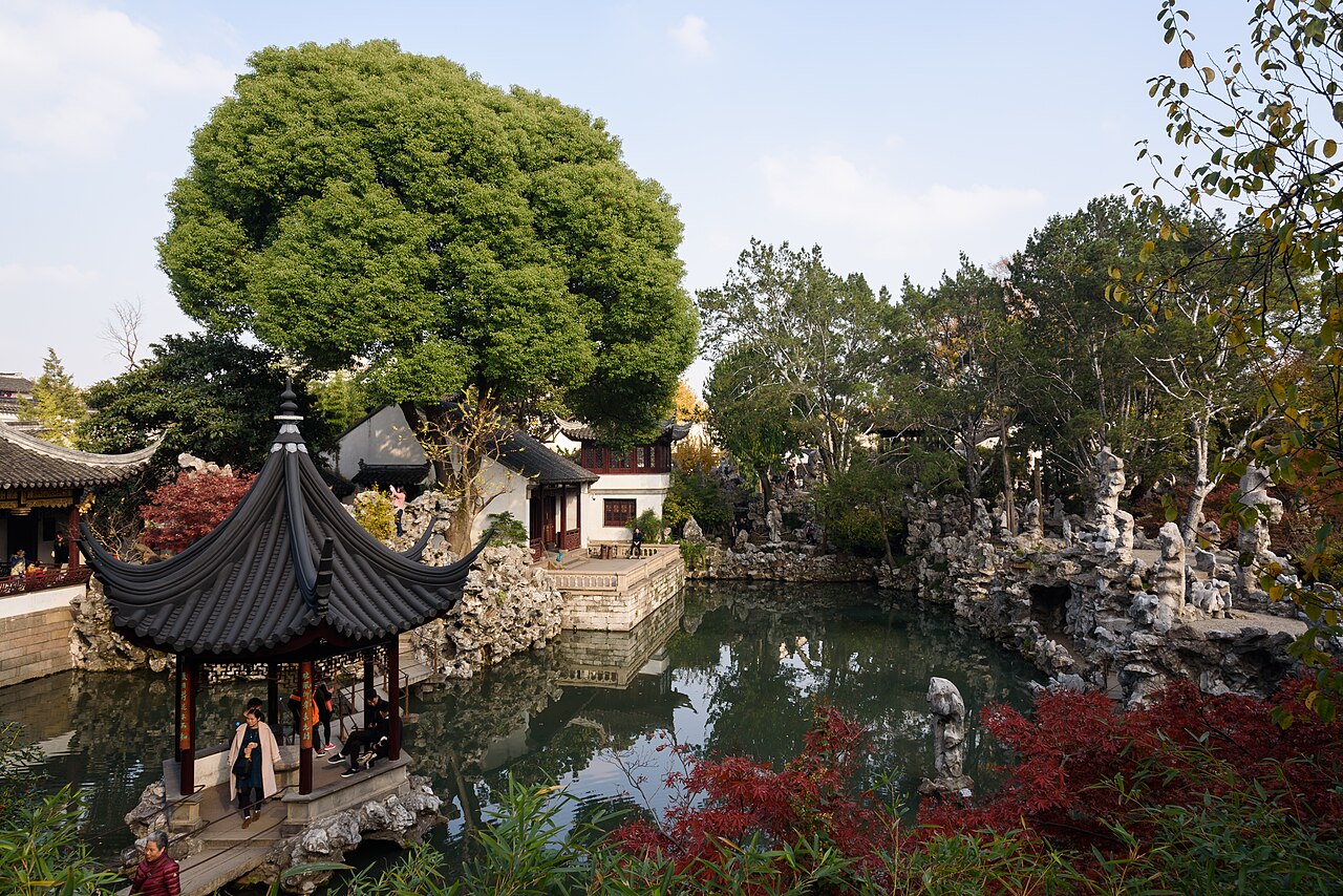 Suzhou
City guide · 12 tours
Two thousand five hundred years of canals, sixty surviving gardens, and a city that shuts its gates at half past five.
Suzhou
City guide · 12 tours
Two thousand five hundred years of canals, sixty surviving gardens, and a city that shuts its gates at half past five.
 Zhouzhuang
City guide · 12 tours
Nine hundred years, fourteen bridges, one ticket — and a town that only makes sense before eight in the morning.
Zhouzhuang
City guide · 12 tours
Nine hundred years, fourteen bridges, one ticket — and a town that only makes sense before eight in the morning.
 Tongli
City guide · 12 tours
Fifteen canals, seven islets, forty-nine bridges — and a town that still gets up at dawn because it lives here.
Tongli
City guide · 12 tours
Fifteen canals, seven islets, forty-nine bridges — and a town that still gets up at dawn because it lives here.
 Wuxi
City guide · 12 tours
Taihu on one side, a Grand Buddha on the next hill, and ribs sweet enough to argue about — the most underrated city on the Yangtze delta.
Wuxi
City guide · 12 tours
Taihu on one side, a Grand Buddha on the next hill, and ribs sweet enough to argue about — the most underrated city on the Yangtze delta.
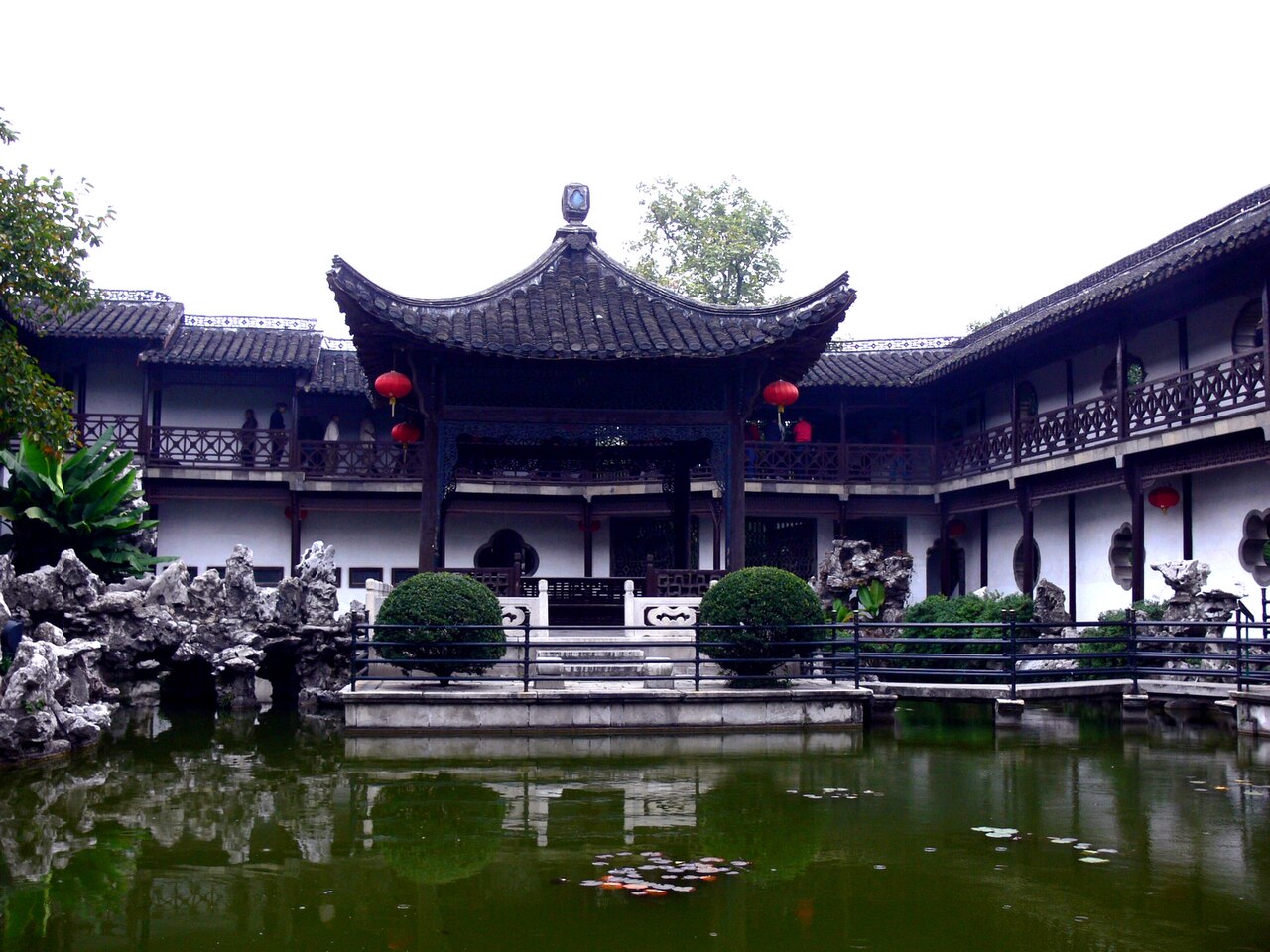 Yangzhou
City guide · 12 tours
A city built by salt merchants who had more money than restraint — gardens, a narrow lake, and the best breakfast in China.
Yangzhou
City guide · 12 tours
A city built by salt merchants who had more money than restraint — gardens, a narrow lake, and the best breakfast in China.
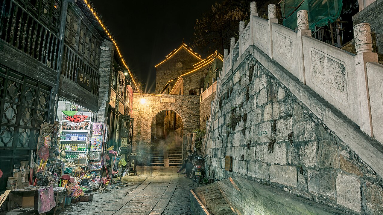 Zhenjiang
City guide · 12 tours
Three hills, one ferry landing, and an unreasonable share of Chinese literature — the Yangtze city people drive past.
Zhenjiang
City guide · 12 tours
Three hills, one ferry landing, and an unreasonable share of Chinese literature — the Yangtze city people drive past.
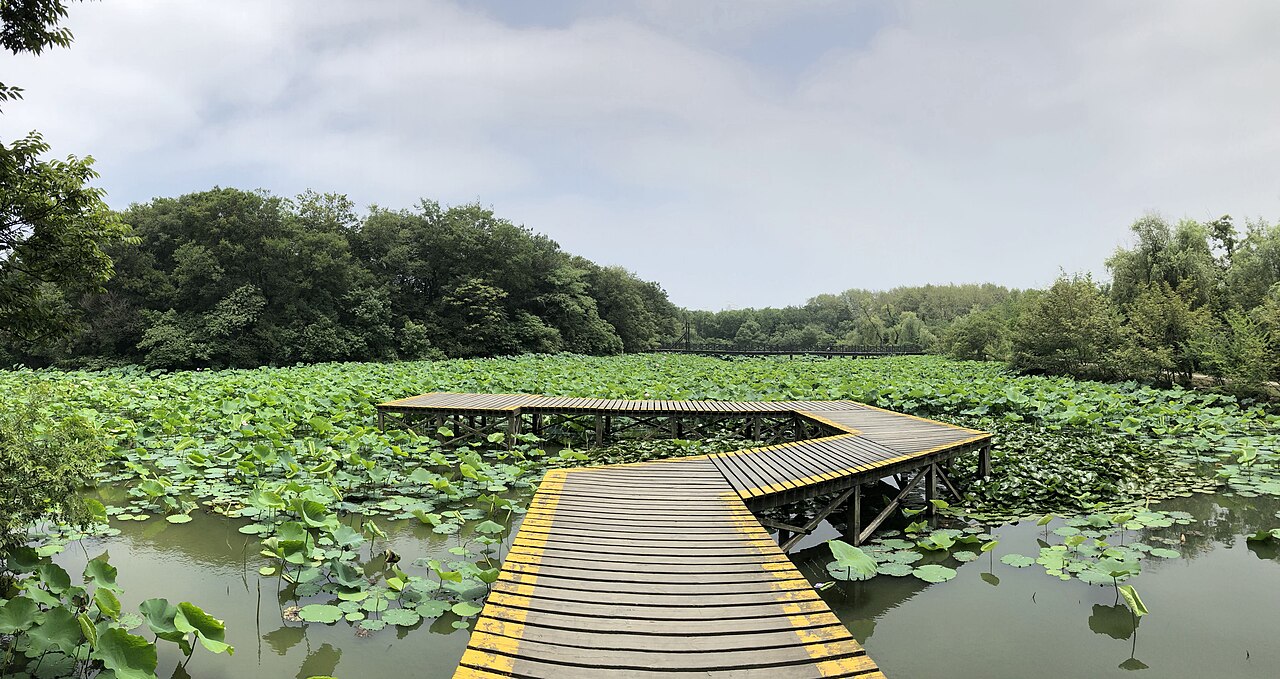 Changzhou
City guide · 12 tours
A 2,500-year-old canal city that built a dinosaur park and refuses to apologise for it.
Changzhou
City guide · 12 tours
A 2,500-year-old canal city that built a dinosaur park and refuses to apologise for it.
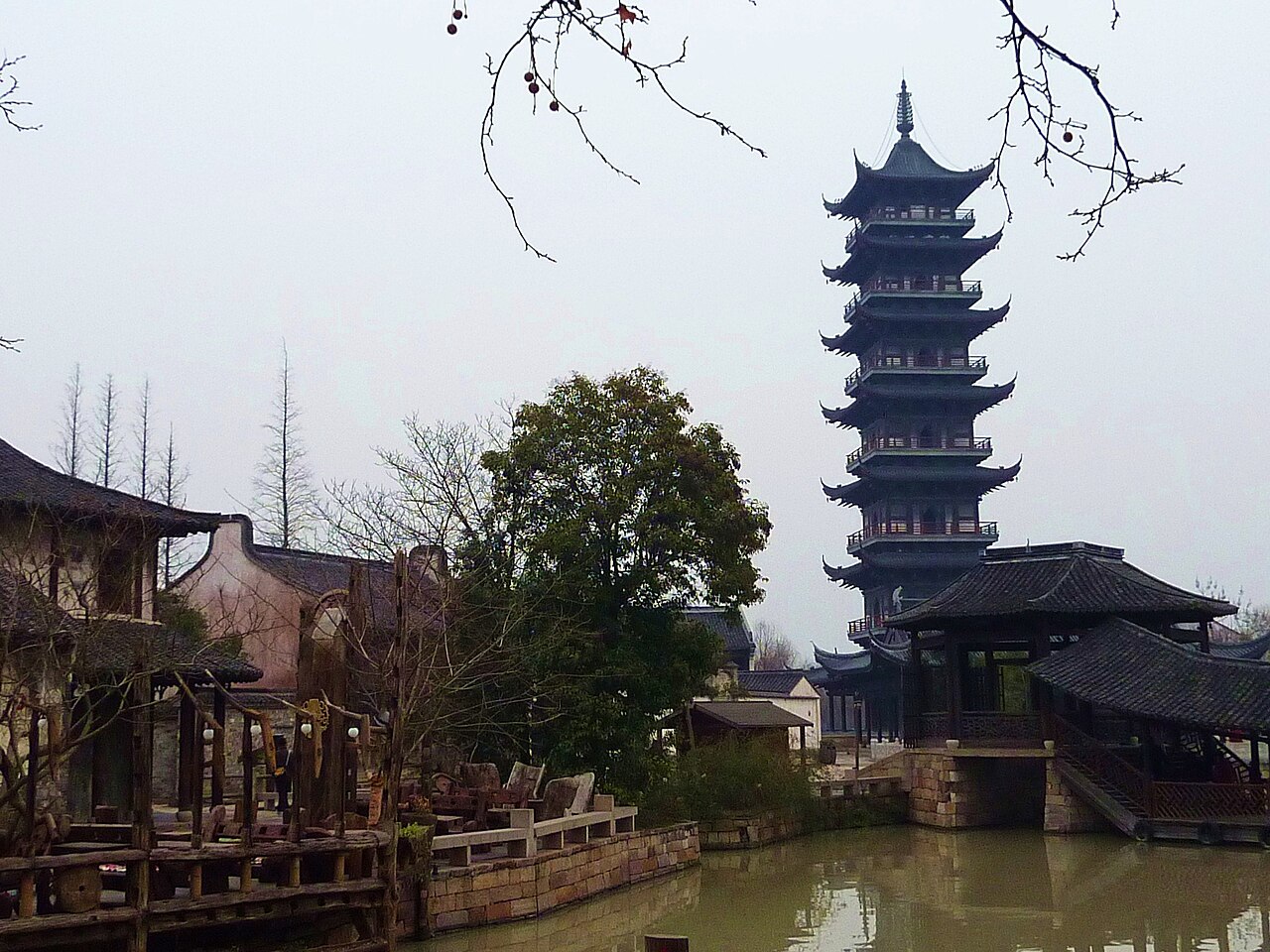 Wuzhen
City guide · 12 tours
A town that is two towns: the older, quieter East Zone and the lit-up West Zone you sleep inside.
Wuzhen
City guide · 12 tours
A town that is two towns: the older, quieter East Zone and the lit-up West Zone you sleep inside.
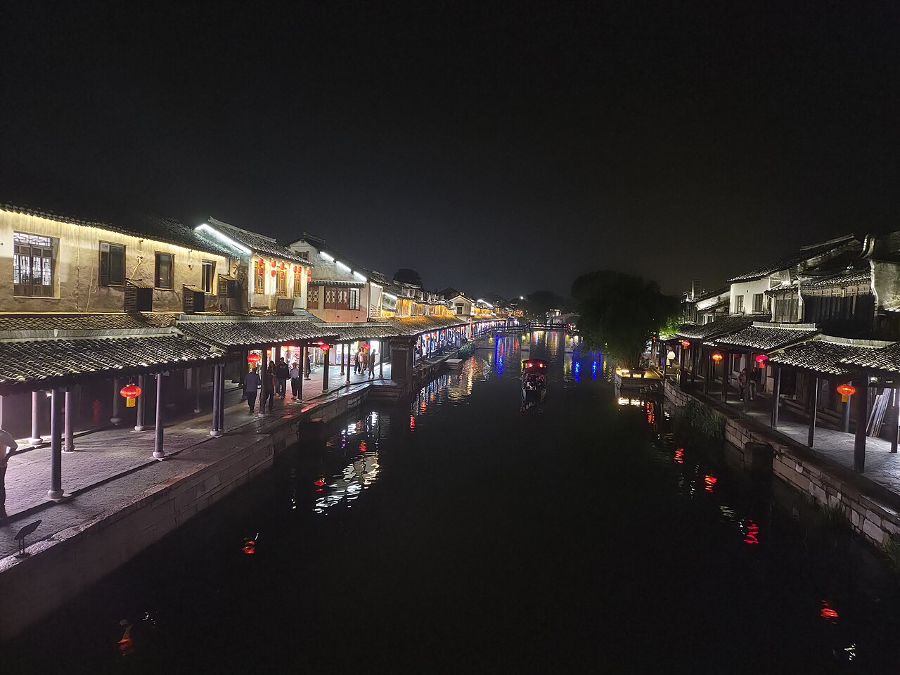 Xitang
City guide · 12 tours
Nine canals, 122 lanes, one long roofed corridor — and a town that still works for a living.
Xitang
City guide · 12 tours
Nine canals, 122 lanes, one long roofed corridor — and a town that still works for a living.
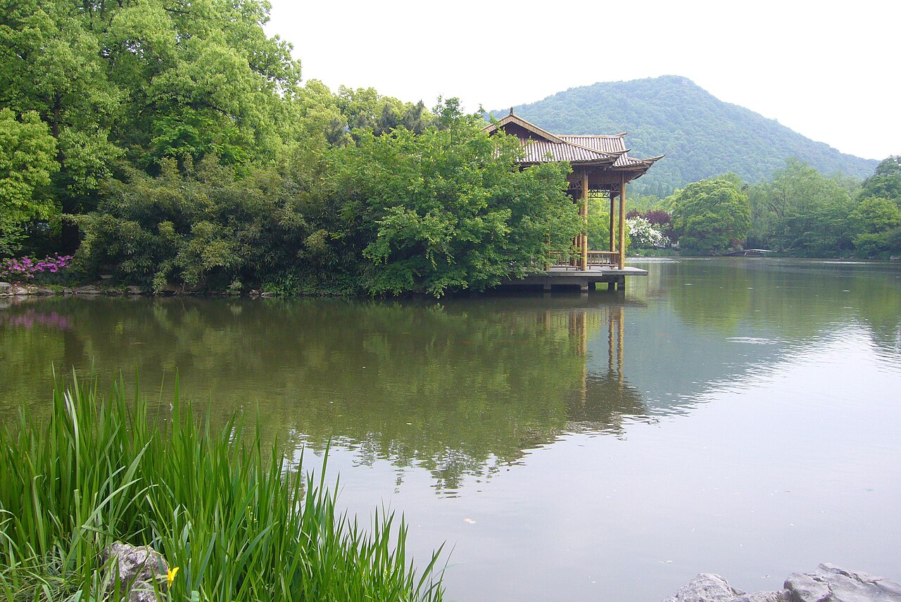 Hangzhou
City guide · 12 tours
A lake in the middle of a city, a tea village in the hills, and two thousand years of getting the mood right.
Hangzhou
City guide · 12 tours
A lake in the middle of a city, a tea village in the hills, and two thousand years of getting the mood right.
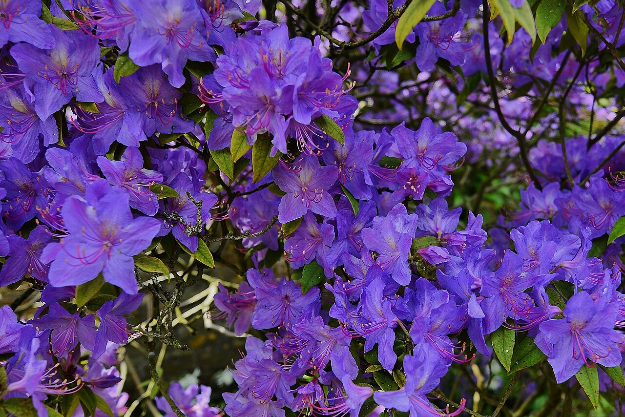 Xixi Wetland
City guide · 12 tours
Ten square kilometres of marsh inside Hangzhou, and the only way into half of it is a boat.
Xixi Wetland
City guide · 12 tours
Ten square kilometres of marsh inside Hangzhou, and the only way into half of it is a boat.
 Ningbo
City guide · 12 tours
A 7,000-year-old port with Asia's oldest private library, a free waterfront 20 years older than Shanghai's, and the best seafood before the islands.
Ningbo
City guide · 12 tours
A 7,000-year-old port with Asia's oldest private library, a free waterfront 20 years older than Shanghai's, and the best seafood before the islands.
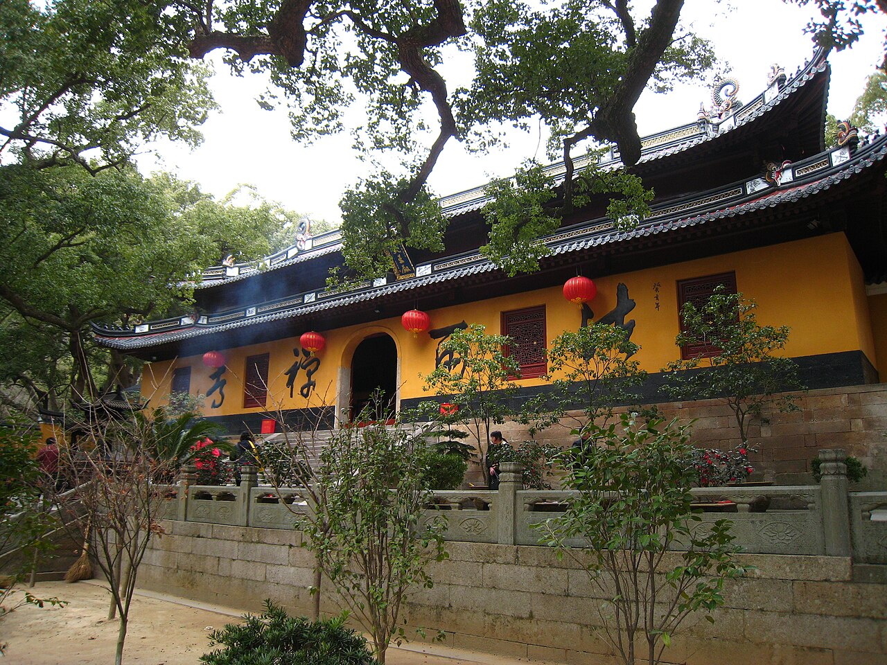 Mount Putuo
City guide · 12 tours
A Buddhist island with no cars, three great temples and a ¥10 lunch that is the point of the place.
Mount Putuo
City guide · 12 tours
A Buddhist island with no cars, three great temples and a ¥10 lunch that is the point of the place.
 Qiandao Lake
City guide · 12 tours
A thousand islands that did not exist sixty years ago, and the cleanest big-lake water in China.
Qiandao Lake
City guide · 12 tours
A thousand islands that did not exist sixty years ago, and the cleanest big-lake water in China.
 Shaoxing
City guide · 12 tours
Two and a half thousand years of water-town China, and Lu Xun's house is free.
Shaoxing
City guide · 12 tours
Two and a half thousand years of water-town China, and Lu Xun's house is free.
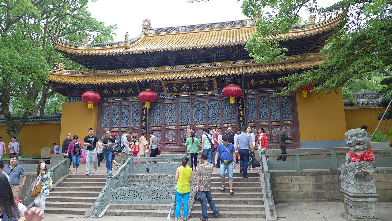 Zhoushan
City guide · 12 tours
1,390 islands, one road bridge in, and a harbour that lands more fish than almost anywhere on earth.
Zhoushan
City guide · 12 tours
1,390 islands, one road bridge in, and a harbour that lands more fish than almost anywhere on earth.
 Hengdian
City guide · 12 tours
A backlot the size of a town, where the palaces are copies and the film crews are real.
Hengdian
City guide · 12 tours
A backlot the size of a town, where the palaces are copies and the film crews are real.
 Yandang Mountain
City guide · 12 tours
A volcano that weathering turned into scenery — 500-odd sights of peak, cave and waterfall across eight scenic areas.
Yandang Mountain
City guide · 12 tours
A volcano that weathering turned into scenery — 500-odd sights of peak, cave and waterfall across eight scenic areas.
 Zhejiang
City guide · 12 tours
One small, mountainous, absurdly rich province that holds a lake, two canal towns, a Buddhist island and a dead volcano.
Zhejiang
City guide · 12 tours
One small, mountainous, absurdly rich province that holds a lake, two canal towns, a Buddhist island and a dead volcano.
 Hong Kong Outlying Islands
City guide · 12 tours
Two hundred-odd islands, half an hour of ferry from the financial district, and not a car on three of them.
Hong Kong Outlying Islands
City guide · 12 tours
Two hundred-odd islands, half an hour of ferry from the financial district, and not a car on three of them.
 Hong Kong Shopping
City guide · 12 tours
A duty-free port where the tag starts lower, two citywide sale seasons knock a third off, and every mall sits on an MTR exit.
Hong Kong Shopping
City guide · 12 tours
A duty-free port where the tag starts lower, two citywide sale seasons knock a third off, and every mall sits on an MTR exit.
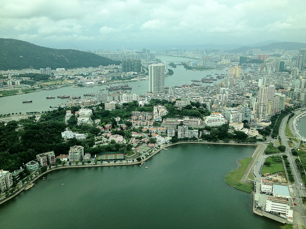 Macao
City guide · 12 tours
Four hundred years of Portuguese streets, a fake Venice under a painted sky, and the best egg tart in Asia.
Macao
City guide · 12 tours
Four hundred years of Portuguese streets, a fake Venice under a painted sky, and the best egg tart in Asia.
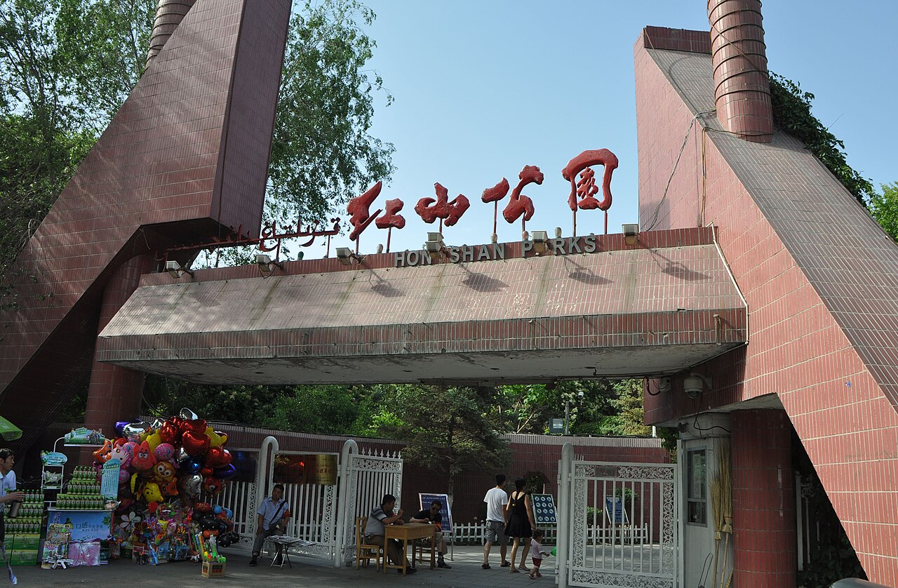 Urumqi
City guide · 12 tours
The city furthest from the sea, with a snow range on its doorstep and dinner starting at nine.
Urumqi
City guide · 12 tours
The city furthest from the sea, with a snow range on its doorstep and dinner starting at nine.
 Hong Kong SAR, China
City guide · 11 tours
A harbour skyline you already know by heart, dim sum trolleys at dawn, and 260 islands an hour from the neon.
Hong Kong SAR, China
City guide · 11 tours
A harbour skyline you already know by heart, dim sum trolleys at dawn, and 260 islands an hour from the neon.
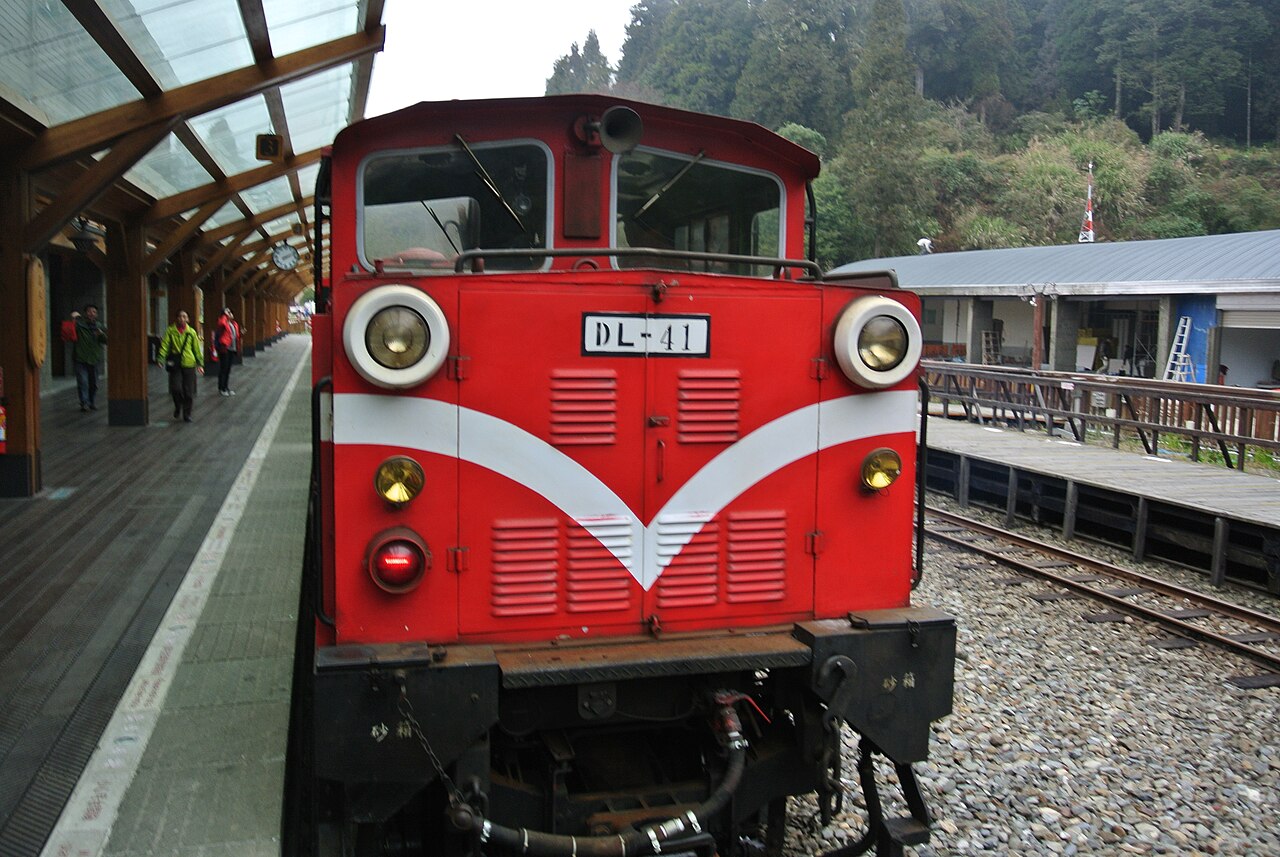 Taiwan, China
City guide · 11 tours
Night-market alleys, high-mountain railways, and a coastline that changes character every hundred kilometres.
Taiwan, China
City guide · 11 tours
Night-market alleys, high-mountain railways, and a coastline that changes character every hundred kilometres.
 Qinghai Lake
City guide · 12 tours
A 4,400 sq km inland sea at 3,200 m, ringed by rapeseed gold, prayer flags and the best cycling road in China.
Qinghai Lake
City guide · 12 tours
A 4,400 sq km inland sea at 3,200 m, ringed by rapeseed gold, prayer flags and the best cycling road in China.
 Mount Emei
City guide · 11 tours
A 3,099-metre Buddhist summit you can reach by cable car before lunch — and a mountain full of monkeys that will absolutely rob you.
Mount Emei
City guide · 11 tours
A 3,099-metre Buddhist summit you can reach by cable car before lunch — and a mountain full of monkeys that will absolutely rob you.
 Beijing
City guide · 11 tours
Six centuries of imperial red walls, a Great Wall you can climb before lunch, and the best roast duck on earth.
Beijing
City guide · 11 tours
Six centuries of imperial red walls, a Great Wall you can climb before lunch, and the best roast duck on earth.
 Taipei
City guide · 11 tours
A 24-hour bookstore, a night market that never stops sizzling, and a city that apologises when you bump into it.
Taipei
City guide · 11 tours
A 24-hour bookstore, a night market that never stops sizzling, and a city that apologises when you bump into it.
 North Xinjiang
City guide · 11 tours
Alpine lakes the colour of poured enamel, a village of log cabins under birch trees, and the last tear the Atlantic ever sheds.
North Xinjiang
City guide · 11 tours
Alpine lakes the colour of poured enamel, a village of log cabins under birch trees, and the last tear the Atlantic ever sheds.
 Lanzhou
City guide · 11 tours
A city split in half by the Yellow River, where beef noodles are a breakfast ritual and the Silk Road still runs through the streets.
Lanzhou
City guide · 11 tours
A city split in half by the Yellow River, where beef noodles are a breakfast ritual and the Silk Road still runs through the streets.
 Mount Hua
City guide · 11 tours
Five granite peaks, one plank road bolted to a cliff face, and a sunrise that justifies the 2am start.
Mount Hua
City guide · 11 tours
Five granite peaks, one plank road bolted to a cliff face, and a sunrise that justifies the 2am start.
 Dunhuang
City guide · 11 tours
A desert oasis where Buddhist cave art survived a thousand years and a crescent lake refused to dry up.
Dunhuang
City guide · 11 tours
A desert oasis where Buddhist cave art survived a thousand years and a crescent lake refused to dry up.
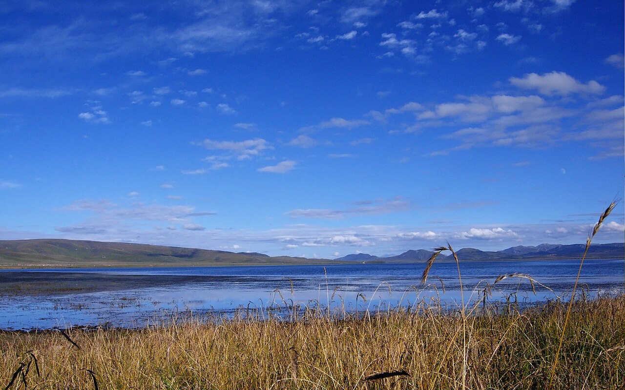 Gannan
City guide · 11 tours
433 kilometres of the Yellow River's first bend, a 3.5 km prayer-wheel circuit, and Tibetan grasslands almost nobody has commercialised yet.
Gannan
City guide · 11 tours
433 kilometres of the Yellow River's first bend, a 3.5 km prayer-wheel circuit, and Tibetan grasslands almost nobody has commercialised yet.
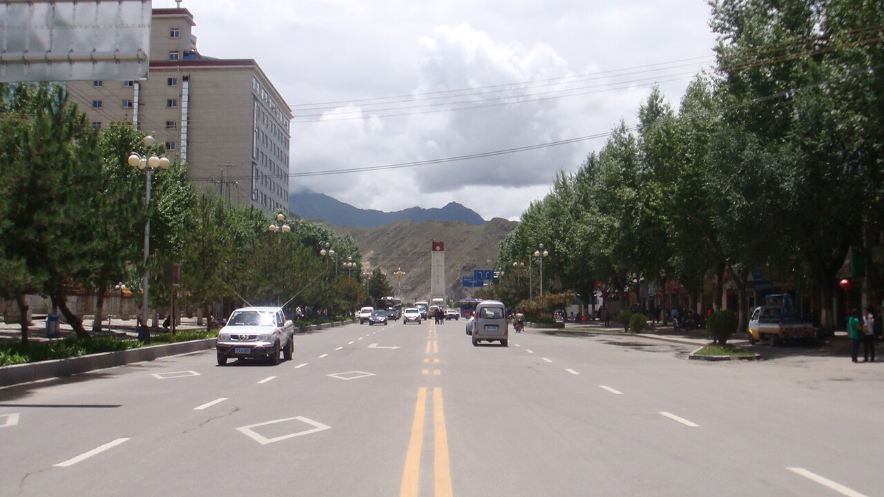 Sichuan–Tibet Highway
City guide · 11 tours
2,142 kilometres of cliff-edge switchbacks, four of China's most beautiful mountains, and a road the Tibetans walk on their knees.
Sichuan–Tibet Highway
City guide · 11 tours
2,142 kilometres of cliff-edge switchbacks, four of China's most beautiful mountains, and a road the Tibetans walk on their knees.
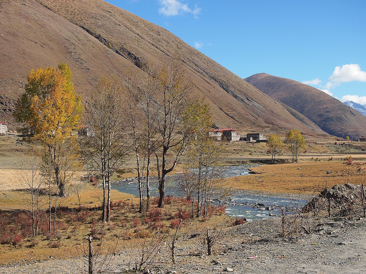 Kangding
City guide · 11 tours
The town that gave Asia its most famous love song, a 7,556m sacred peak on its doorstep, and the last real Tibetan town before the road climbs to Lhasa.
Kangding
City guide · 11 tours
The town that gave Asia its most famous love song, a 7,556m sacred peak on its doorstep, and the last real Tibetan town before the road climbs to Lhasa.
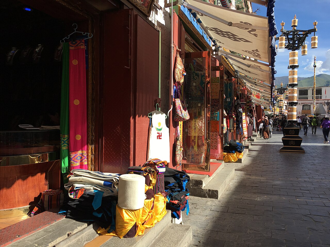 Lhasa
City guide · 12 tours
A city of prayer wheels and butter lamps at 3,700 metres, where the sun shines 3,000 hours a year and the world's highest palace watches over it all.
Lhasa
City guide · 12 tours
A city of prayer wheels and butter lamps at 3,700 metres, where the sun shines 3,000 hours a year and the world's highest palace watches over it all.
 Nyingchi
City guide · 11 tours
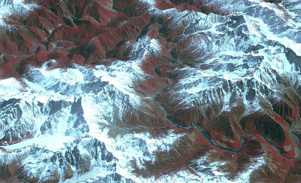
Tibet's greenest corner — peach blossom valleys, a 7,782 m peak that hides from almost everyone, and the world's deepest canyon.
Nyingchi
City guide · 11 tours
Tibet's greenest corner — peach blossom valleys, a 7,782 m peak that hides from almost everyone, and the world's deepest canyon.
 Namtso
City guide · 11 tours
A 1,920-square-kilometre sheet of impossible blue at 4,718 metres, ringed by snow peaks and prayer flags.
Namtso
City guide · 11 tours
A 1,920-square-kilometre sheet of impossible blue at 4,718 metres, ringed by snow peaks and prayer flags.
 Chongqing
City guide · 12 tours
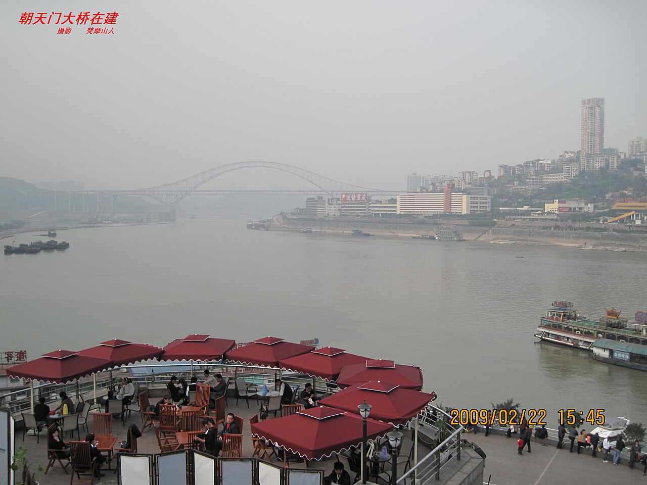
A vertical city of fog, cable cars and cliff-side stilt houses, where the火锅 never stops boiling and the night skyline outshines Hong Kong.
Chongqing
City guide · 12 tours
A vertical city of fog, cable cars and cliff-side stilt houses, where the火锅 never stops boiling and the night skyline outshines Hong Kong.
 Qiandongnan
City guide · 11 tours
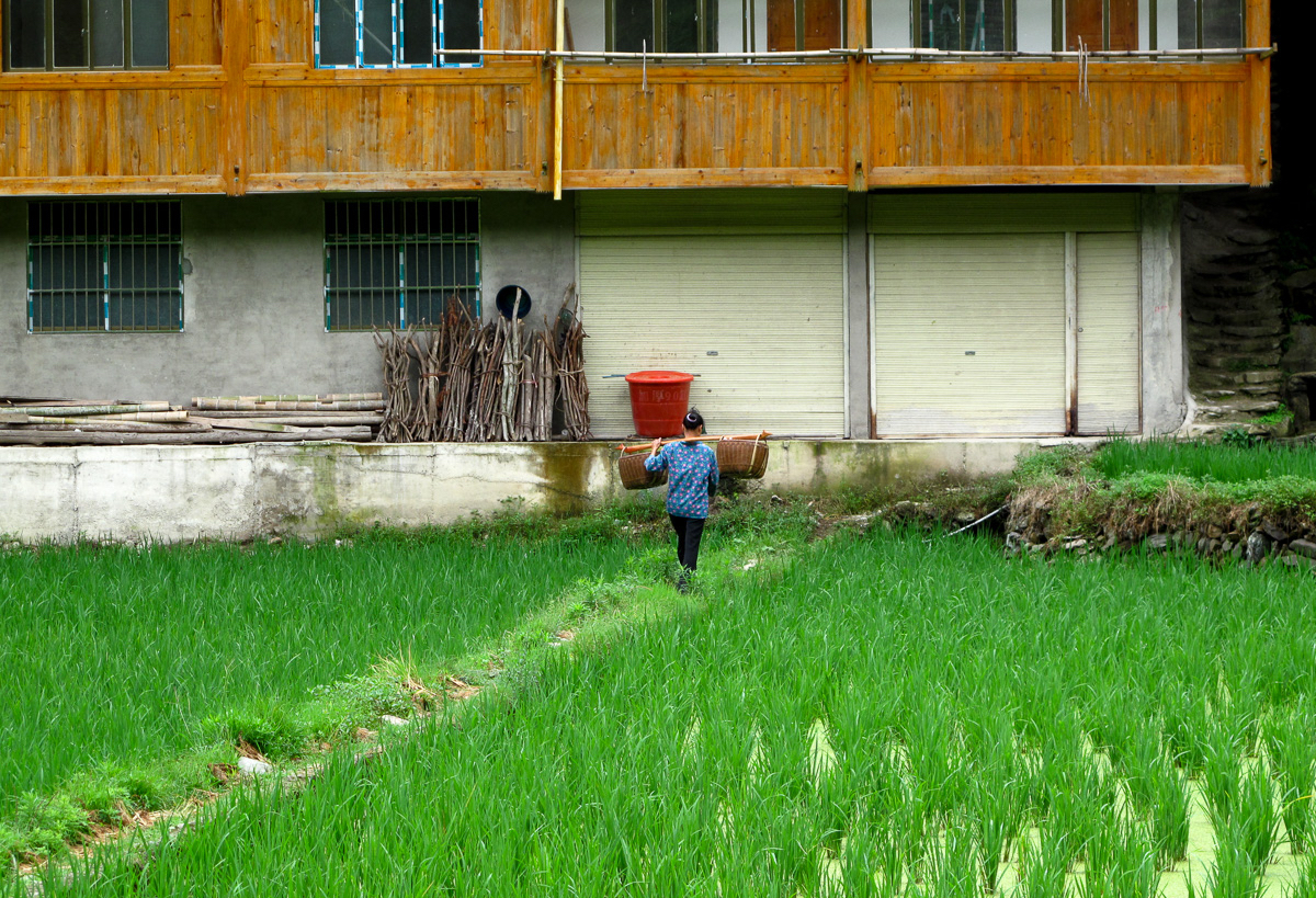
A thousand Miao households stacked up a mountainside, drum towers and wind-rain bridges in Dong villages, and a 600-year-old Ming garrison town on the road to Guiyang.
Qiandongnan
City guide · 11 tours
A thousand Miao households stacked up a mountainside, drum towers and wind-rain bridges in Dong villages, and a 600-year-old Ming garrison town on the road to Guiyang.
 Libo
City guide · 11 tours
Emerald rivers threading through karst peaks, a 600-metre forest growing out of a riverbed, and China's largest wild plum grove.
Libo
City guide · 11 tours
Emerald rivers threading through karst peaks, a 600-metre forest growing out of a riverbed, and China's largest wild plum grove.
 Guiyang
City guide · 11 tours
China's summer capital at 1,100 metres, where the nights run on sour fish soup, street-side barbecue and mahjong that never quite stops.
Guiyang
City guide · 11 tours
China's summer capital at 1,100 metres, where the nights run on sour fish soup, street-side barbecue and mahjong that never quite stops.
 Zhenyuan
City guide · 11 tours
A 2,000-year-old river town where the Wuyang River carves an S through the mountains and every lane hides a story.
Zhenyuan
City guide · 11 tours
A 2,000-year-old river town where the Wuyang River carves an S through the mountains and every lane hides a story.
 Huangguoshu
City guide · 11 tours
Asia's biggest waterfall, and the only one on earth you can walk behind, above and around — plus 600-year-old Ming dynasty villages a short drive away.
Huangguoshu
City guide · 11 tours
Asia's biggest waterfall, and the only one on earth you can walk behind, above and around — plus 600-year-old Ming dynasty villages a short drive away.
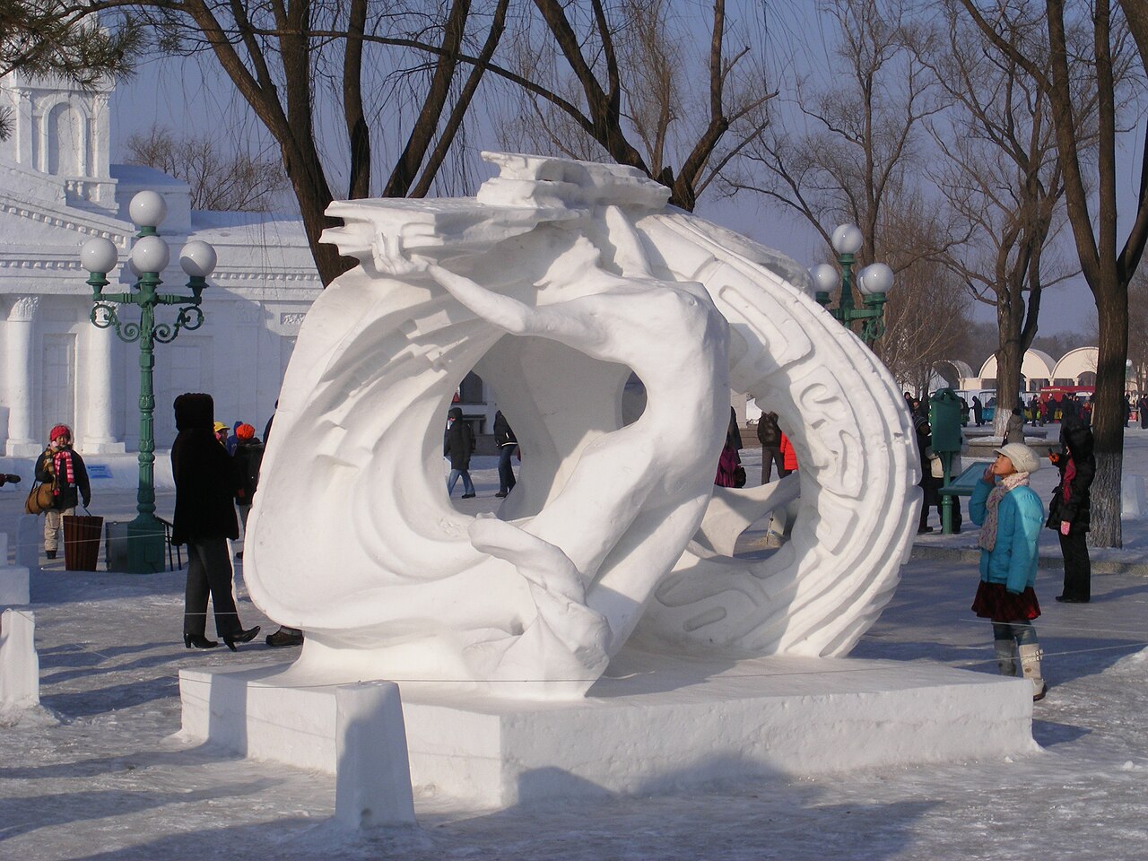 Harbin
City guide · 11 tours
Minus 30 degrees, a frozen river you can walk across, and a cathedral built by Russians who never went home.
Harbin
City guide · 11 tours
Minus 30 degrees, a frozen river you can walk across, and a cathedral built by Russians who never went home.
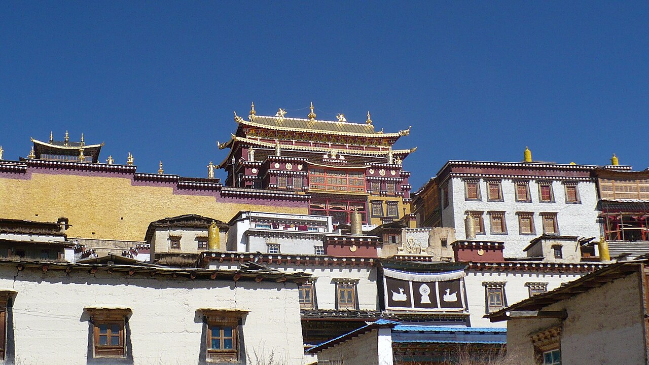 Yunnan
City guide · 11 tours
Snow mountains, tropical rainforest, twenty-five minorities and a plate of rice noodles — all in one province.
Yunnan
City guide · 11 tours
Snow mountains, tropical rainforest, twenty-five minorities and a plate of rice noodles — all in one province.
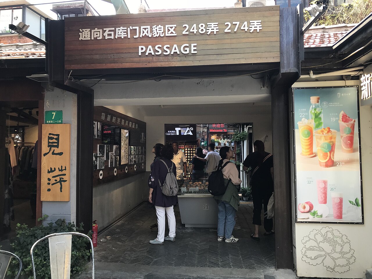 Shanghai
City guide · 11 tours
A 1920s waterfront of colonial banks facing a science-fiction skyline, soup dumplings you eat with a straw, and 20 million people moving like clockwork.
Shanghai
City guide · 11 tours
A 1920s waterfront of colonial banks facing a science-fiction skyline, soup dumplings you eat with a straw, and 20 million people moving like clockwork.
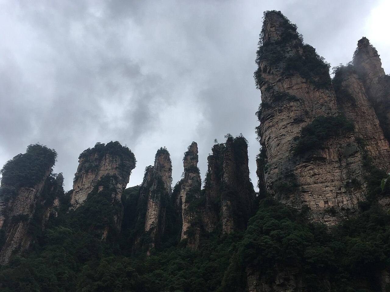 Zhangjiajie
City guide · 11 tours
Three thousand sandstone pillars straight out of Avatar, a glass skywalk bolted to a cliff, and a cable car that leaves from downtown.
Zhangjiajie
City guide · 11 tours
Three thousand sandstone pillars straight out of Avatar, a glass skywalk bolted to a cliff, and a cable car that leaves from downtown.
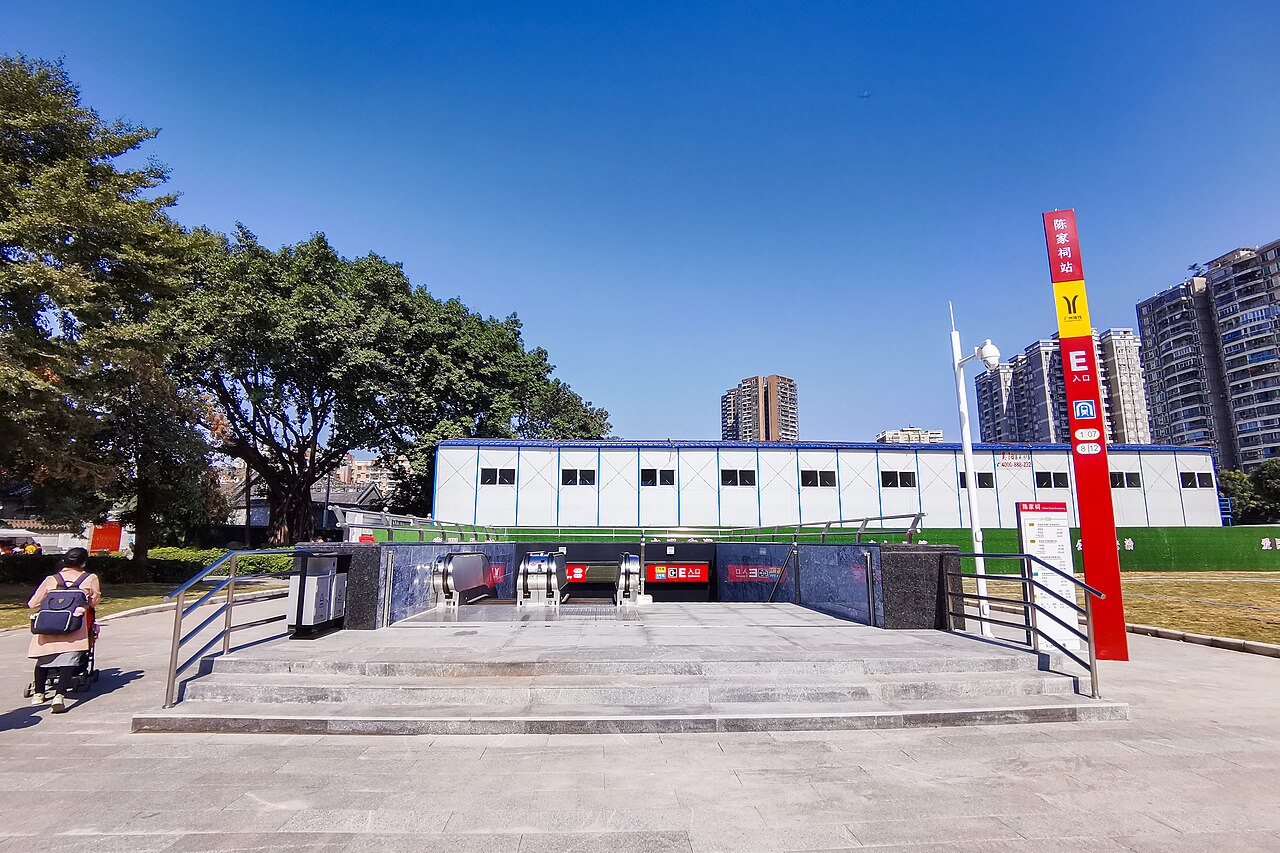 Guangzhou
City guide · 11 tours
A 2,200-year-old trading port where dim sum is a religion, colonial islands sit beside 600-metre towers, and the food never stops.
Guangzhou
City guide · 11 tours
A 2,200-year-old trading port where dim sum is a religion, colonial islands sit beside 600-metre towers, and the food never stops.
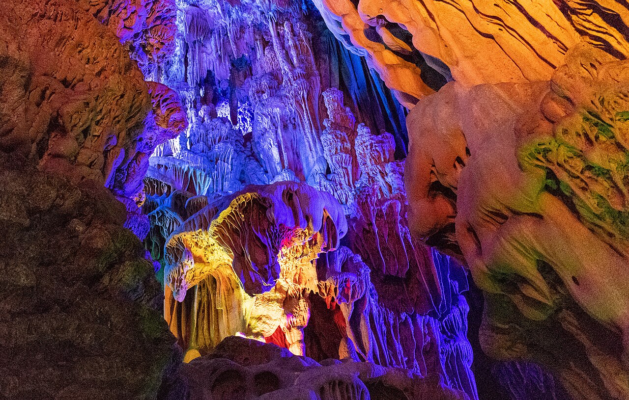 Guilin
City guide · 11 tours
Karst peaks rising straight out of a green river, rice terraces carved into mountainsides, and the best bowl of noodles you'll eat in China.
Guilin
City guide · 11 tours
Karst peaks rising straight out of a green river, rice terraces carved into mountainsides, and the best bowl of noodles you'll eat in China.
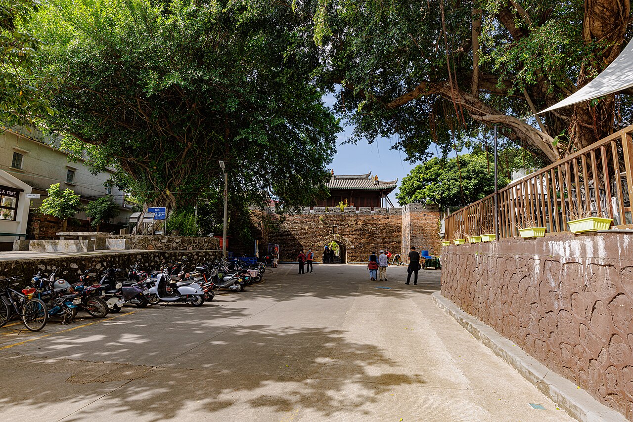 Shenzhen
City guide · 11 tours
A fishing village that became a megacity in forty years — and it still has 500-year-old banyans, empty beaches and dim sum worth the border crossing.
Shenzhen
City guide · 11 tours
A fishing village that became a megacity in forty years — and it still has 500-year-old banyans, empty beaches and dim sum worth the border crossing.
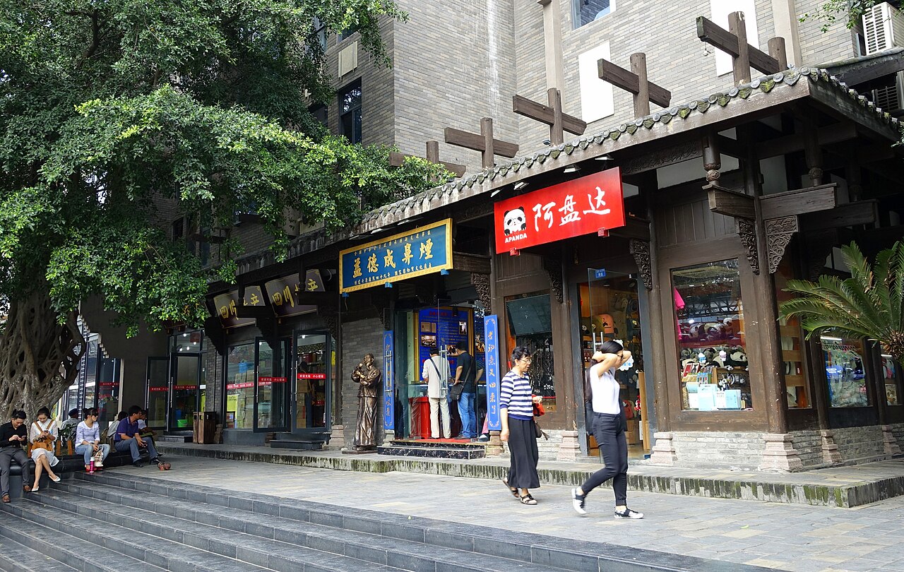 Chengdu
City guide · 11 tours
A 3,000-year-old city where the schedule is tea, mahjong and hotpot — and the pandas are just the opening act.
Chengdu
City guide · 11 tours
A 3,000-year-old city where the schedule is tea, mahjong and hotpot — and the pandas are just the opening act.
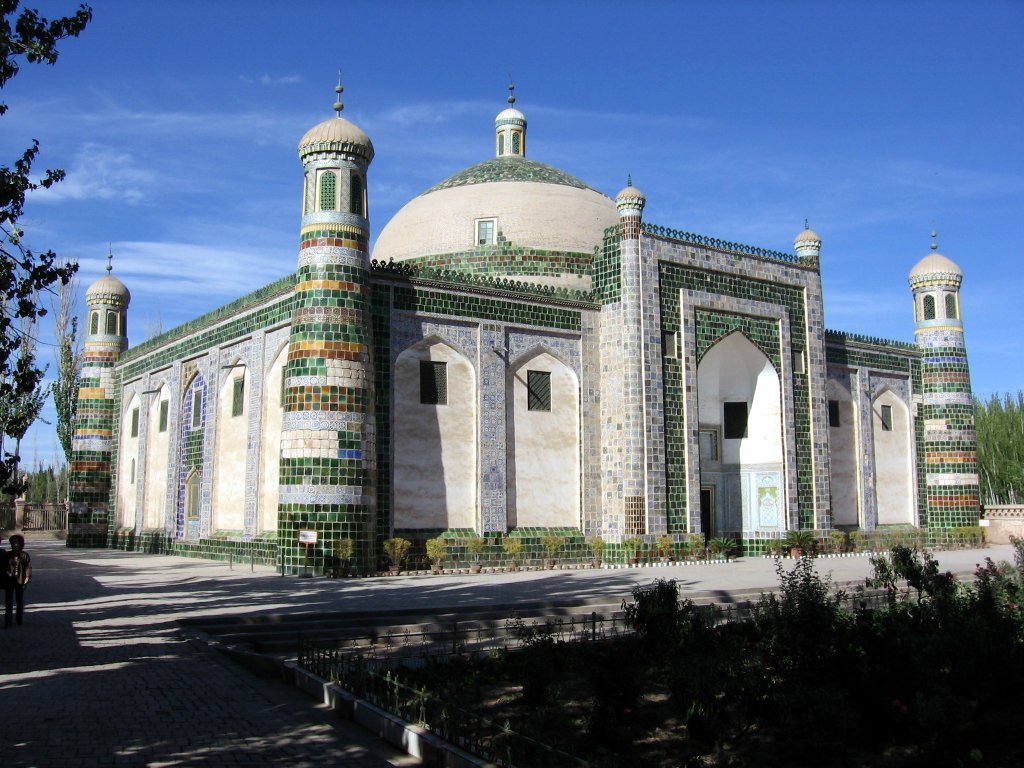 Xinjiang
City guide · 11 tours
Snow peaks, grassland, desert and oasis — one-sixth of China, and the longest road you will ever ride.
Xinjiang
City guide · 11 tours
Snow peaks, grassland, desert and oasis — one-sixth of China, and the longest road you will ever ride.
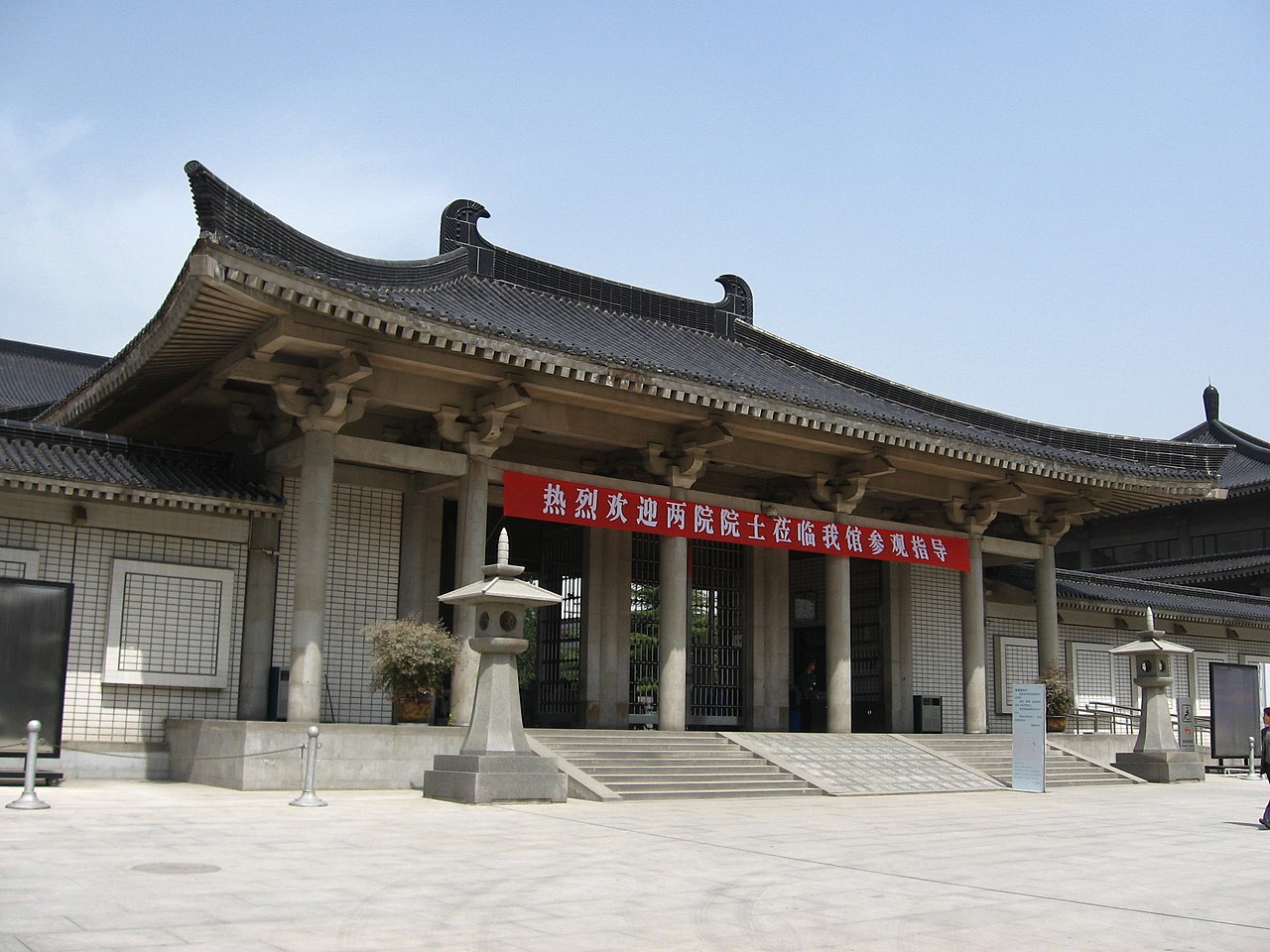 Xi'an
City guide · 14 tours
Thirteen dynasties of emperors, a terracotta army buried for 2,200 years, and a walled city you can cycle in 100 minutes.
Xi'an
City guide · 14 tours
Thirteen dynasties of emperors, a terracotta army buried for 2,200 years, and a walled city you can cycle in 100 minutes.
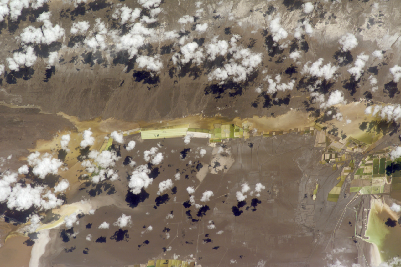 Qinghai
City guide · 11 tours
China's high-altitude blue heart: a salt lake you can walk on, a 3,200-metre sea, and yak butter tea at the roof of the world.
Qinghai
City guide · 11 tours
China's high-altitude blue heart: a salt lake you can walk on, a 3,200-metre sea, and yak butter tea at the roof of the world.
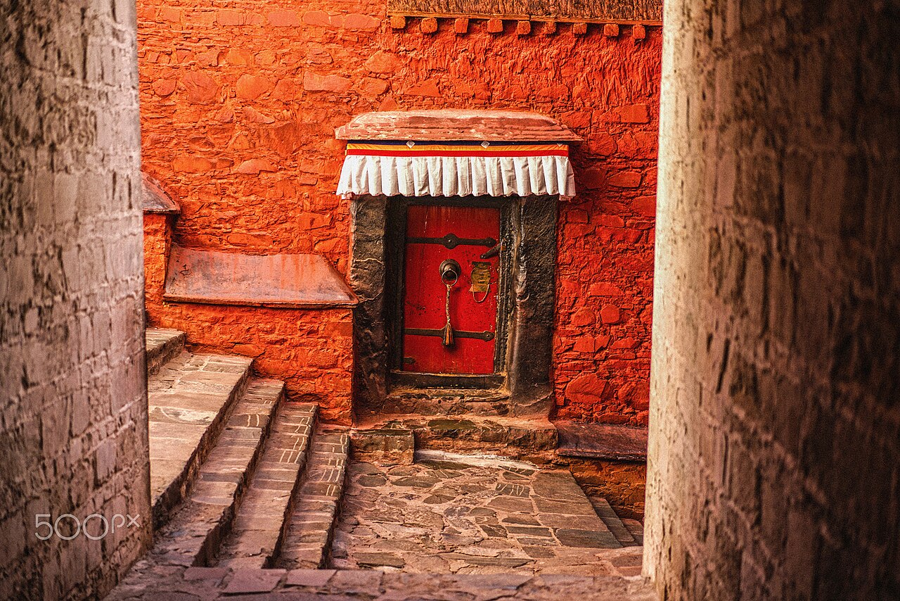 Tibet
City guide · 11 tours
A plateau the size of Western Europe where the sky starts at your feet, prayer flags carry the wind, and the roads run past 8,000-metre peaks.
Tibet
City guide · 11 tours
A plateau the size of Western Europe where the sky starts at your feet, prayer flags carry the wind, and the roads run past 8,000-metre peaks.
Related reading
 Visas
Do I Need a Visa for China? Requirements, Costs and How to Apply
China's entry rules changed more in the last three years than in the previous twenty. Here is exactly who needs a visa, what it costs, how long it takes and which passports now walk straight through.
9 min read
Visas
Do I Need a Visa for China? Requirements, Costs and How to Apply
China's entry rules changed more in the last three years than in the previous twenty. Here is exactly who needs a visa, what it costs, how long it takes and which passports now walk straight through.
9 min read
 Visas
China's 240-Hour Visa-Free Transit: Who Qualifies and How It Works
Ten days in China with no visa application, no fee and no fingerprints — if you hold the right passport and leave for a third country. Here is the rulebook, port by port.
8 min read
Visas
China's 240-Hour Visa-Free Transit: Who Qualifies and How It Works
Ten days in China with no visa application, no fee and no fingerprints — if you hold the right passport and leave for a third country. Here is the rulebook, port by port.
8 min read
 Money
Paying in China: Alipay, WeChat Pay, Cards and Cash
Roughly nine in ten urban payments in China now run through a phone. Set up two apps before you fly, carry a modest cash float, and you will never be stuck at a till.
8 min read
Money
Paying in China: Alipay, WeChat Pay, Cards and Cash
Roughly nine in ten urban payments in China now run through a phone. Set up two apps before you fly, carry a modest cash float, and you will never be stuck at a till.
8 min read
 Transport
China's High-Speed Rail: How to Book, What It Costs, How Fast It Goes
The fastest way to cross China is also the most pleasant. Here is how to book a ticket with a foreign passport, what the three classes actually give you, and how to survive a Chinese station at rush hour.
9 min read
Transport
China's High-Speed Rail: How to Book, What It Costs, How Fast It Goes
The fastest way to cross China is also the most pleasant. Here is how to book a ticket with a foreign passport, what the three classes actually give you, and how to survive a Chinese station at rush hour.
9 min read
 Planning
Best Time to Visit China: Month by Month, Region by Region
China is the size of Europe, so 'the best month' depends on where you stand. Here is the month-by-month answer for the north, the Yangtze valley, the south and the plateau.
8 min read
Planning
Best Time to Visit China: Month by Month, Region by Region
China is the size of Europe, so 'the best month' depends on where you stand. Here is the month-by-month answer for the north, the Yangtze valley, the south and the plateau.
8 min read
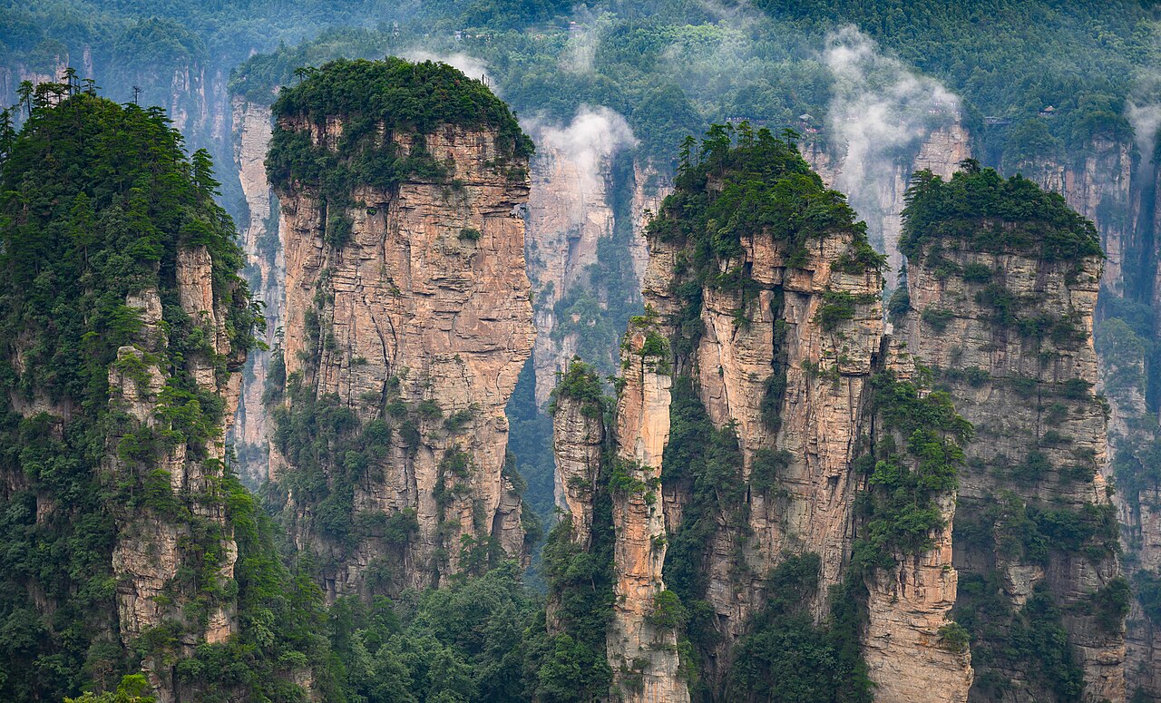 Planning
What to Pack for China: The Complete 2026 Checklist
Twenty thousand steps a day, three climate zones and a phone that has to do everything. This is the list we give our own travellers, minus the things they never used.
7 min read
Planning
What to Pack for China: The Complete 2026 Checklist
Twenty thousand steps a day, three climate zones and a phone that has to do everything. This is the list we give our own travellers, minus the things they never used.
7 min read
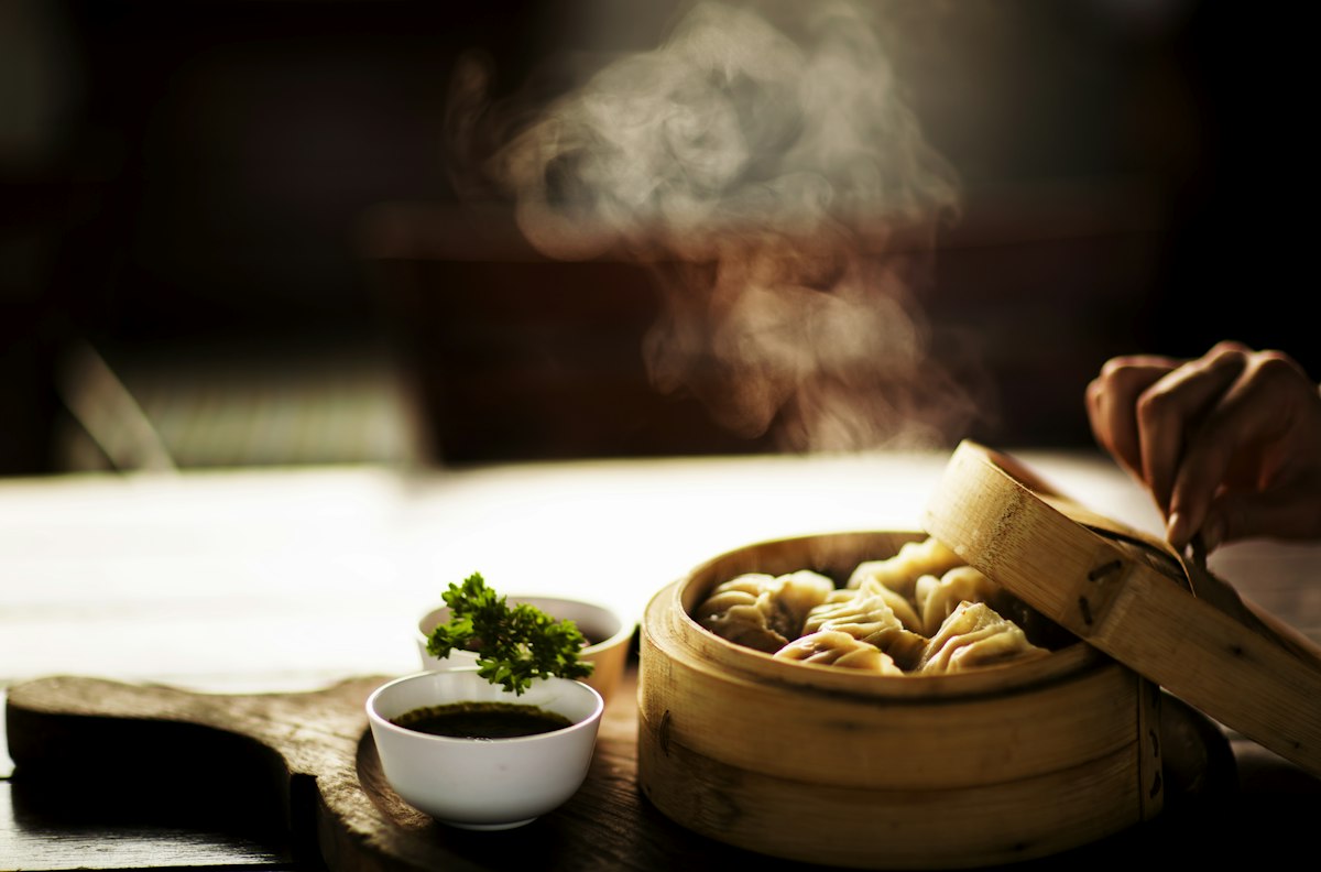 Food
Chinese Food Culture: Eight Cuisines, One Table
There is no such thing as Chinese food. There is Cantonese, Sichuan, Hunan, Jiangsu, Zhejiang, Fujian, Anhui and Shandong — and knowing which one you are eating changes everything.
8 min read
Food
Chinese Food Culture: Eight Cuisines, One Table
There is no such thing as Chinese food. There is Cantonese, Sichuan, Hunan, Jiangsu, Zhejiang, Fujian, Anhui and Shandong — and knowing which one you are eating changes everything.
8 min read
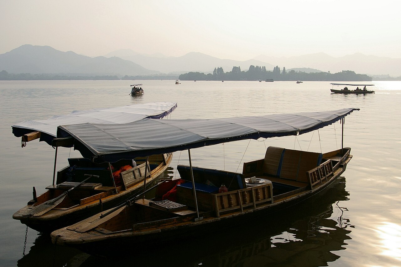 Traditions
Chinese Tea Culture: Six Classes, One Pot, Two Fingers
Tea in China is not a beverage category, it is a social technology: it fills silences, seals deals and sets the pace of a meal. Here is how to sit down in one and not look lost.
7 min read
Traditions
Chinese Tea Culture: Six Classes, One Pot, Two Fingers
Tea in China is not a beverage category, it is a social technology: it fills silences, seals deals and sets the pace of a meal. Here is how to sit down in one and not look lost.
7 min read
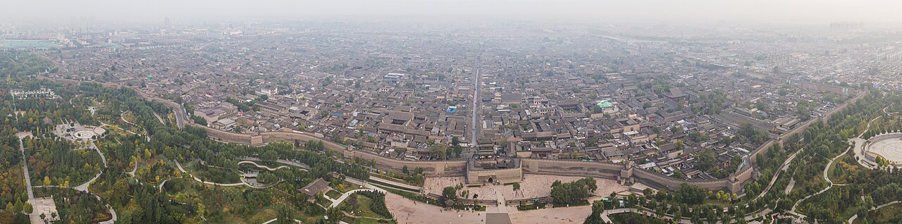 Traditions
Chinese Festivals: The Calendar, the Dates and the Crowds
Lunar dates mean the calendar moves every year — and two of the festivals move several hundred million people at once. Plan around them or plan into them, but never by accident.
8 min read
Etiquette
Chinese Etiquette: What Matters, What Does Not, and Why
Most etiquette advice for China is either obvious or wrong. These are the dozen behaviours that actually change how you are treated, and the reasoning behind each.
7 min read
Traditions
Chinese Festivals: The Calendar, the Dates and the Crowds
Lunar dates mean the calendar moves every year — and two of the festivals move several hundred million people at once. Plan around them or plan into them, but never by accident.
8 min read
Etiquette
Chinese Etiquette: What Matters, What Does Not, and Why
Most etiquette advice for China is either obvious or wrong. These are the dozen behaviours that actually change how you are treated, and the reasoning behind each.
7 min read
Free itinerary design, a revised plan within one working day, and nothing charged until you approve the final version.