City guide · Sichuan

Sichuan–Tibet Highway travel guide: 10 days from Chengdu to Lhasa on the G318

2,142 kilometres of cliff-edge switchbacks, four of China's most beautiful mountains, and a road the Tibetans walk on their knees.

  • Known forG318 scenery, four sacred snow peaks, high passes, Tibetan pilgrimage
  • Typical spendAbout CNY 10,000 by car, CNY 3,000 hitching
  • Ideal length10 days Chengdu to Lhasa
  • PaceTough — 6–7 hours of driving daily, high altitude

Reviewed by our Beijing team Updated 2026-10-10

The short version

The Sichuan–Tibet Highway (G318) is worth 10 days and roughly CNY 10,000 per person by private car: 2,142 km from Chengdu to Lhasa, climbing from about 500 m to over 5,000 m at the passes, crossing four rivers and eight ranges, and passing four mountains on China's Top Ten Most Beautiful list. Budget travellers hitch and take buses for closer to CNY 3,000 but lose control of the schedule. The classic season is June to September, though July and August bring mudslides and doubled room rates — most veterans prefer late May or October.

  • The full Chengdu–Lhasa run is 2,142 km; a 4WD can drive it in 3–4 days, but 10 days is the pace that lets you actually see it.
  • Four of China's Top Ten Most Beautiful Mountains sit on or beside the route: Namcha Barwa (7,782 m), Gongga, the Yading trio and Meili.
  • From Batang onward you enter Tibet proper and hit the speed-ticket (限速卡) system — checkpoints cap you at roughly 42–43 km/h between towns.
  • Foreign passport holders (plus Taiwan and most overseas Chinese travellers) need a Tibet Travel Permit arranged through an agency at least 20 working days ahead.

City guide

First impressions

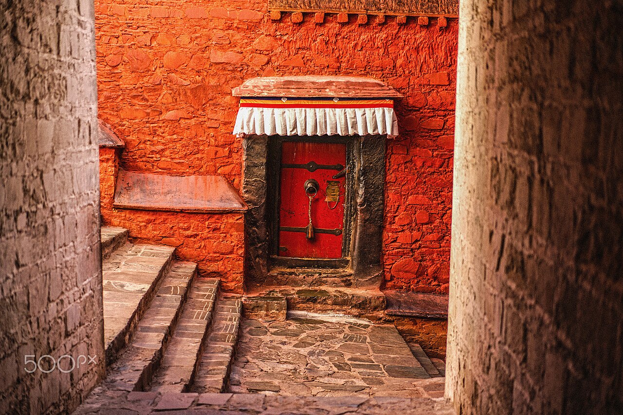
Photographs from the coast, and what other travellers wrote afterwards.

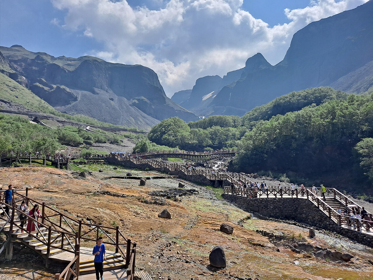
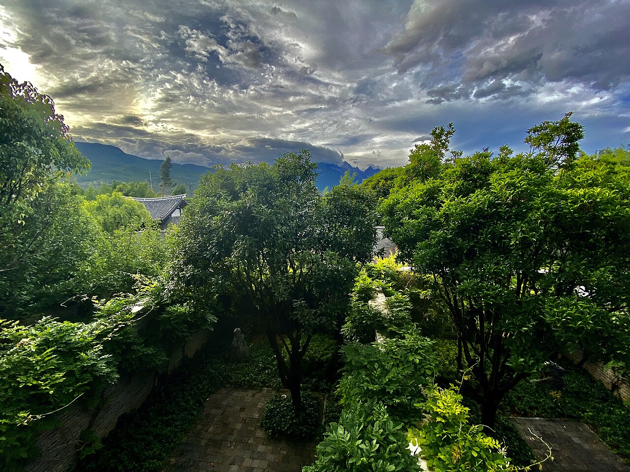
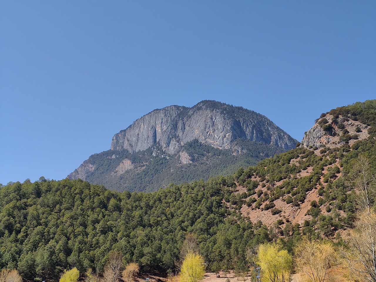
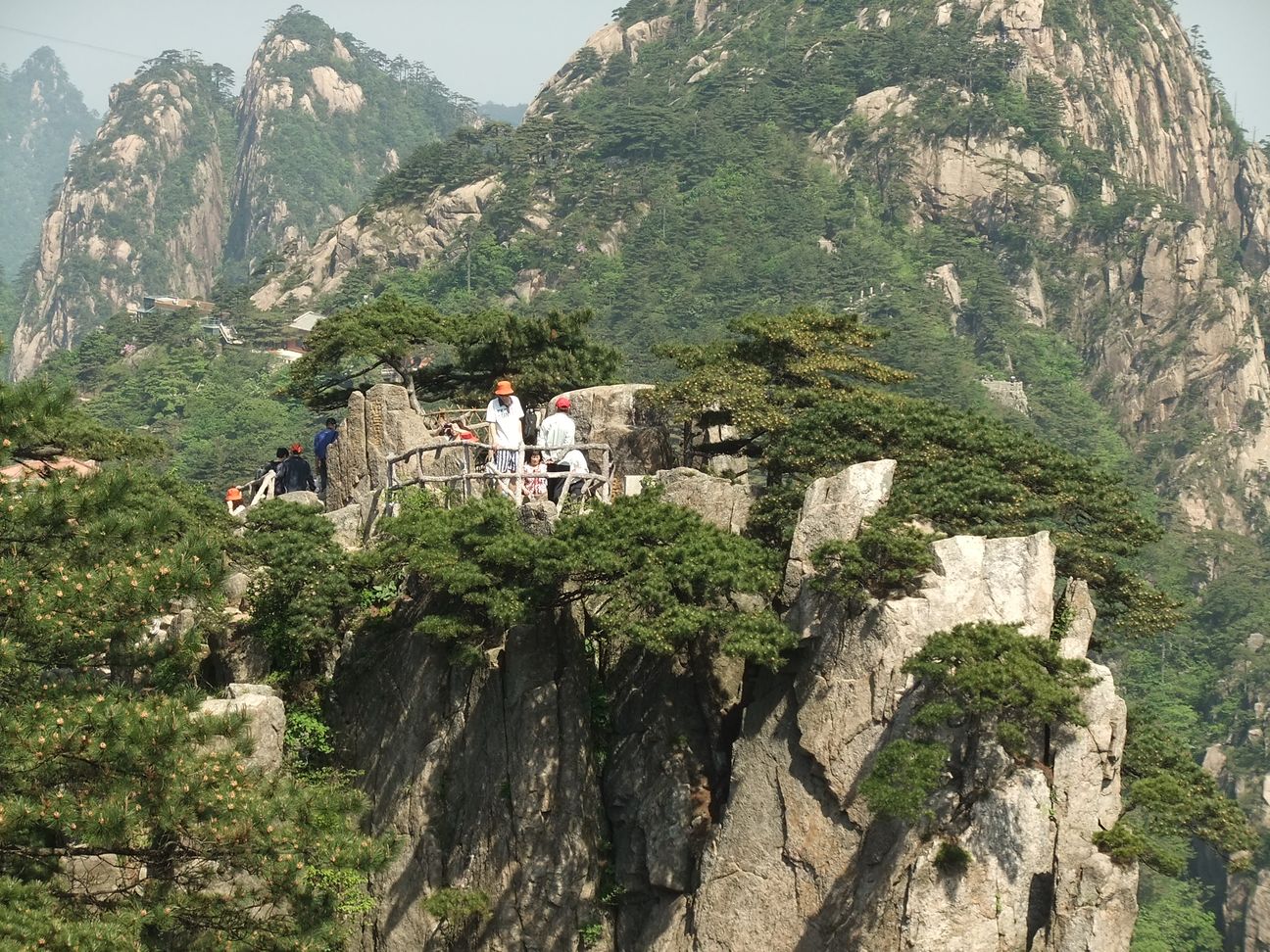
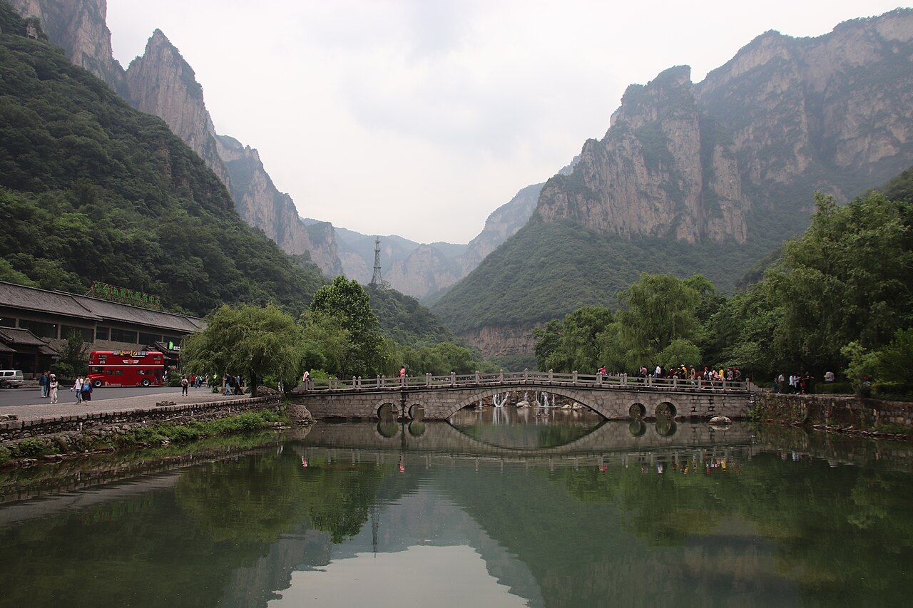
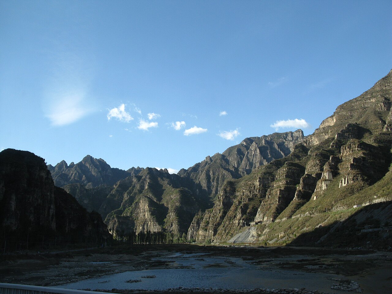
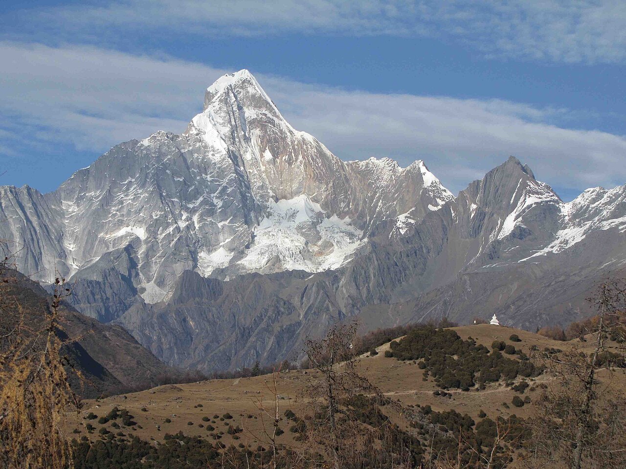
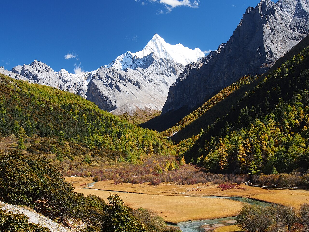
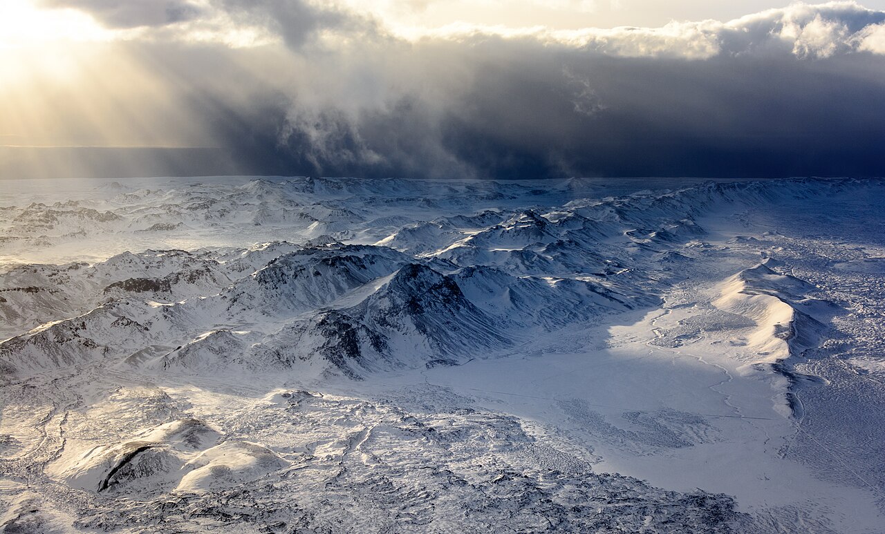
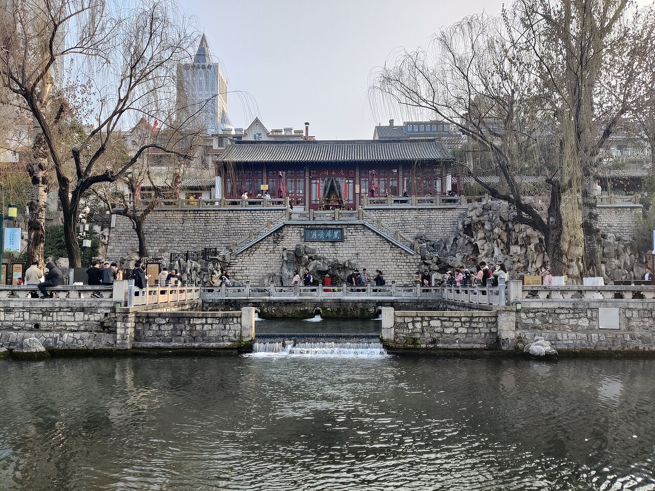
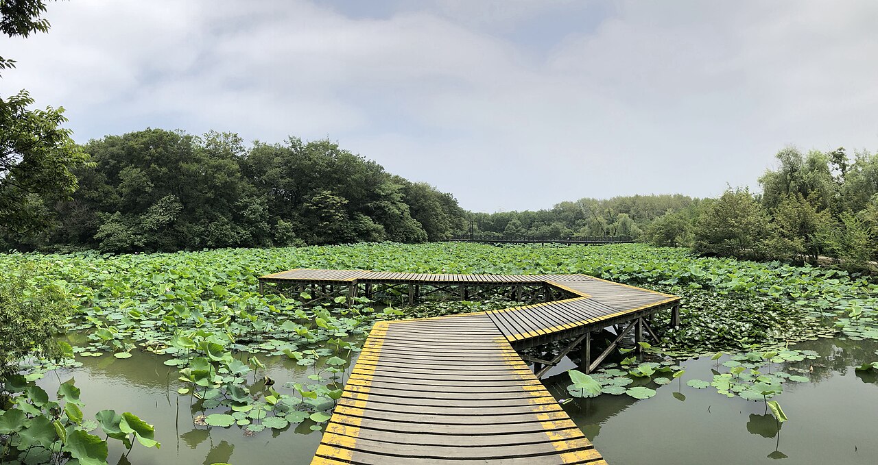
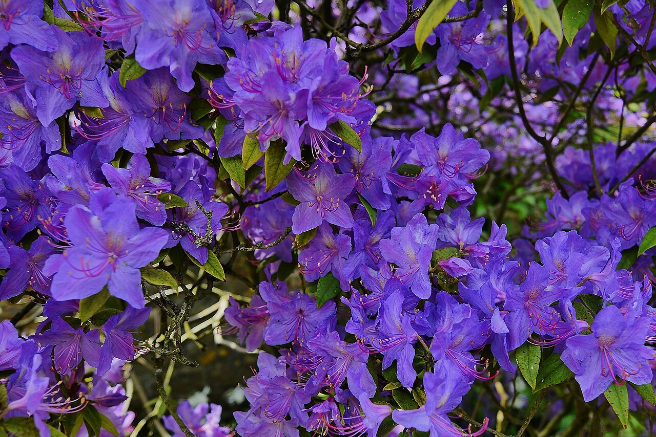
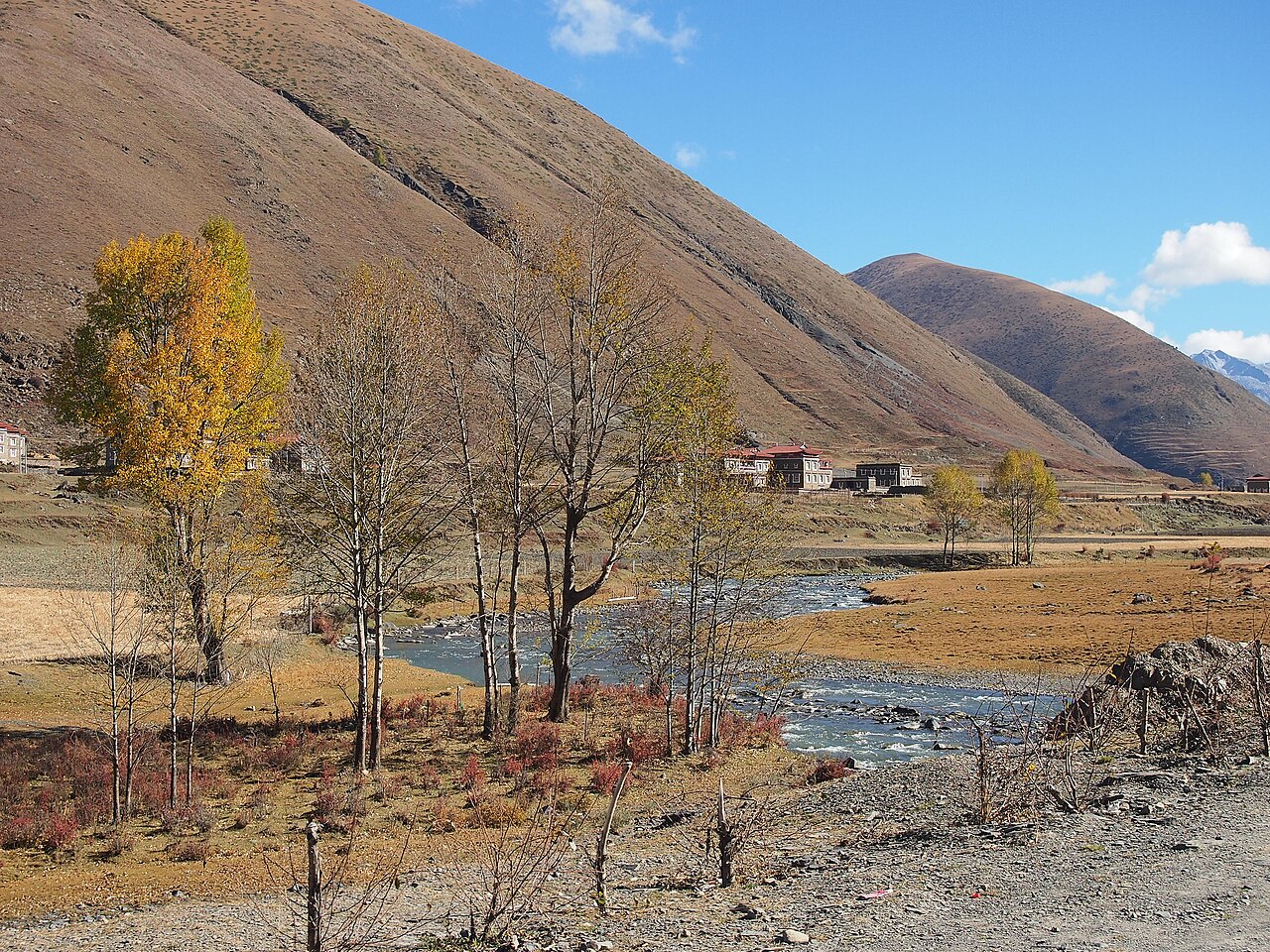
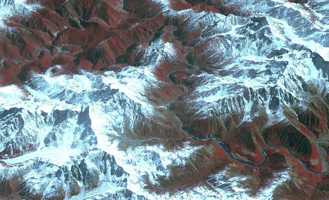
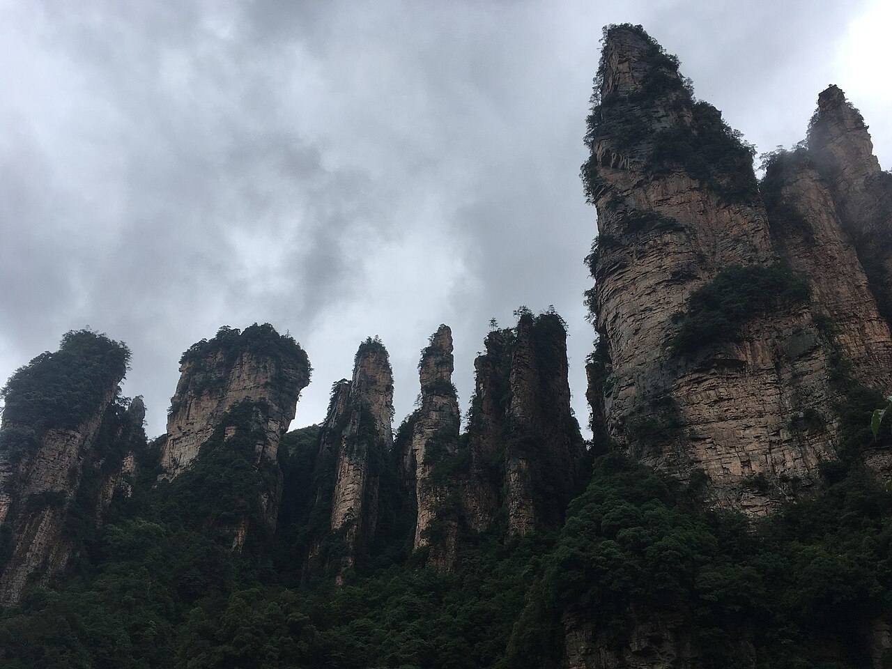
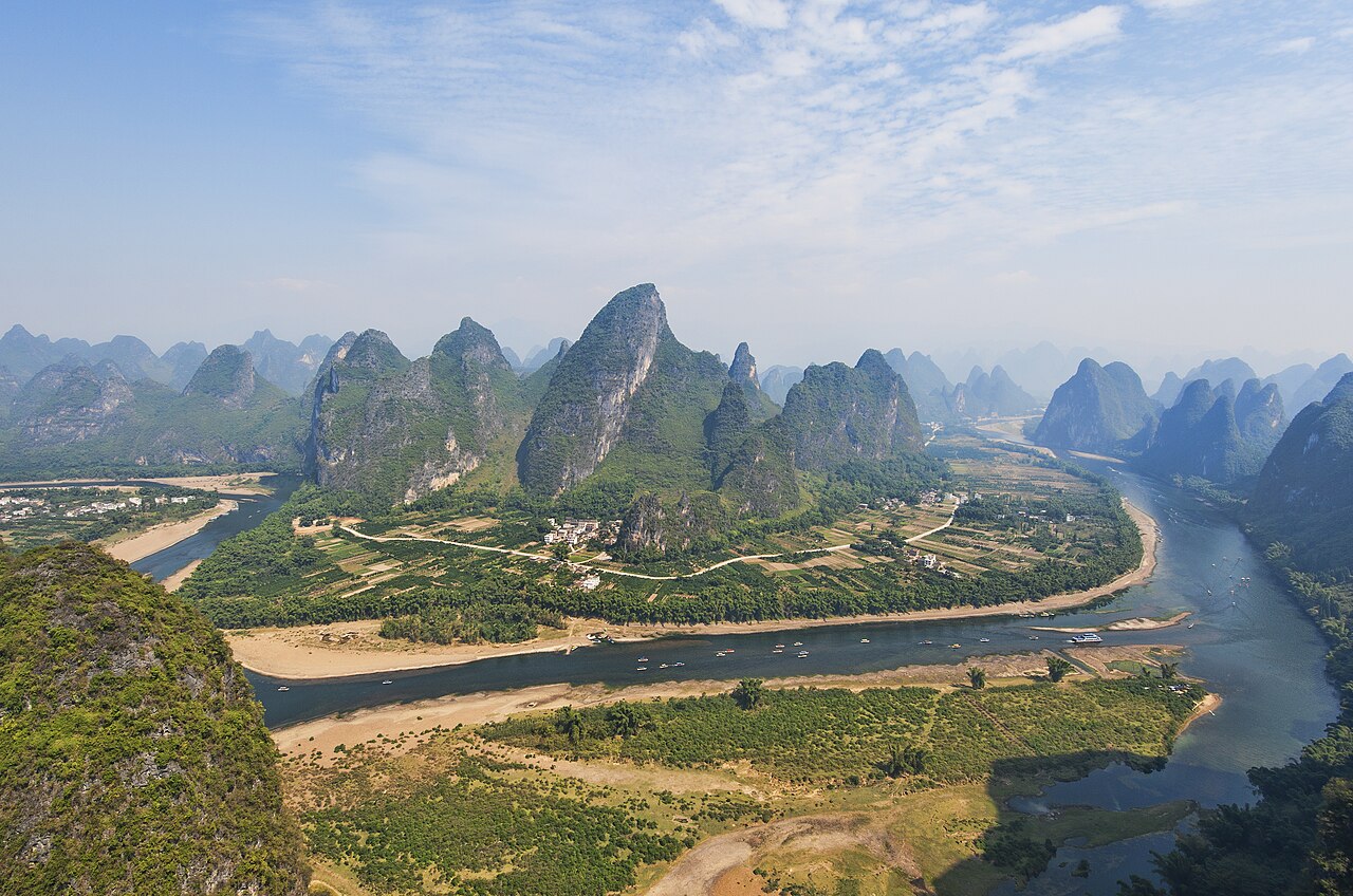
The G318 cutting through the Hengduan range, snow peaks on both sides
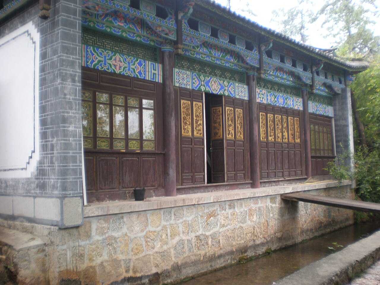
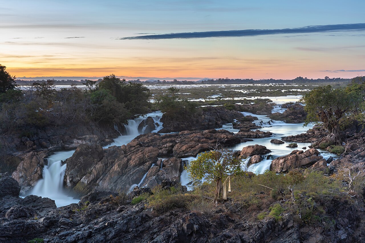
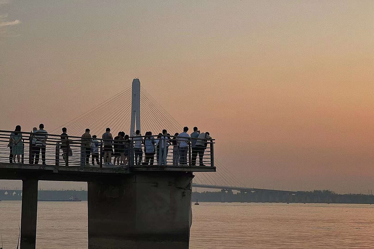
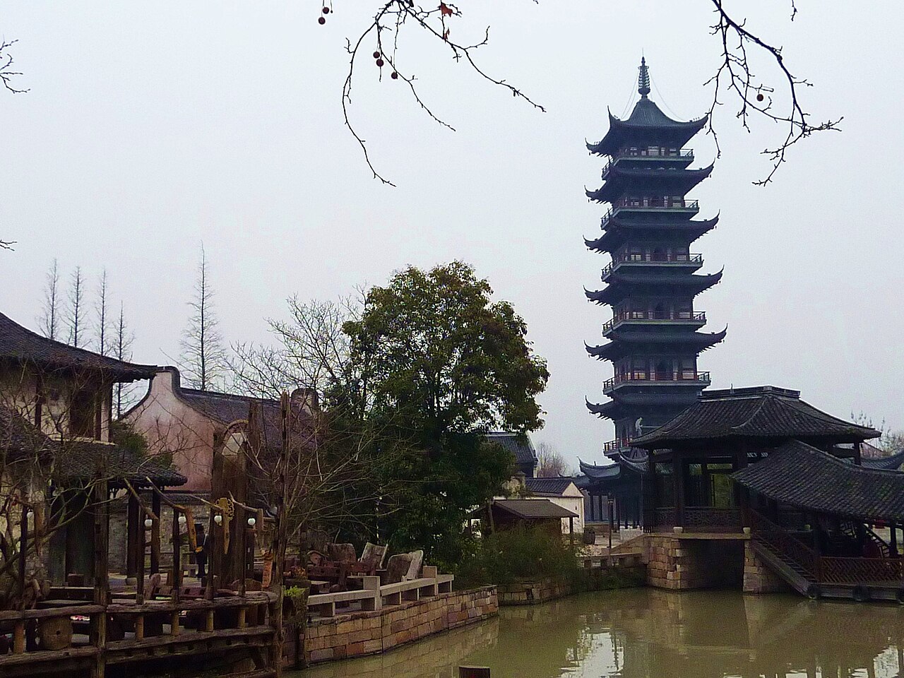
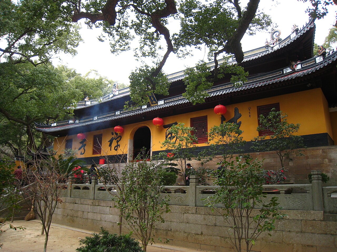
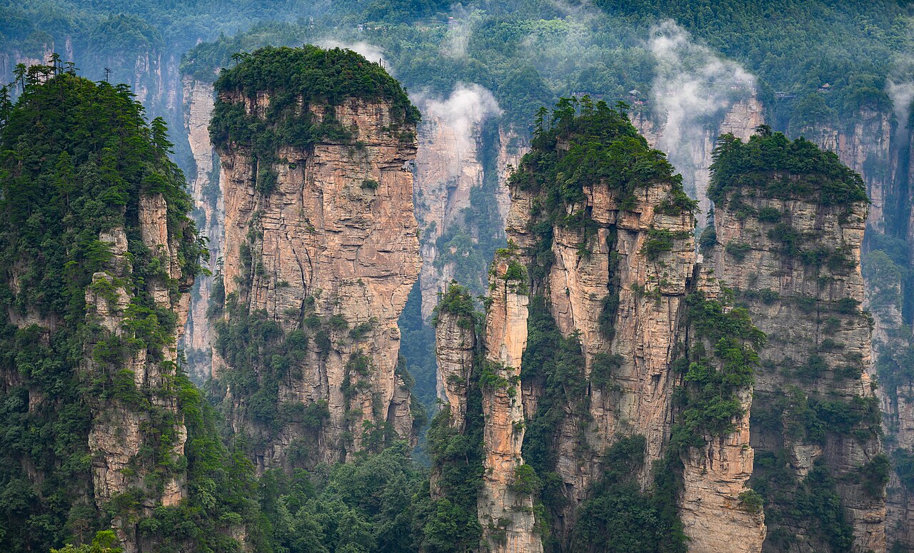
The 99 switchbacks above the Nu River, dropping 2,100 m in 20 km
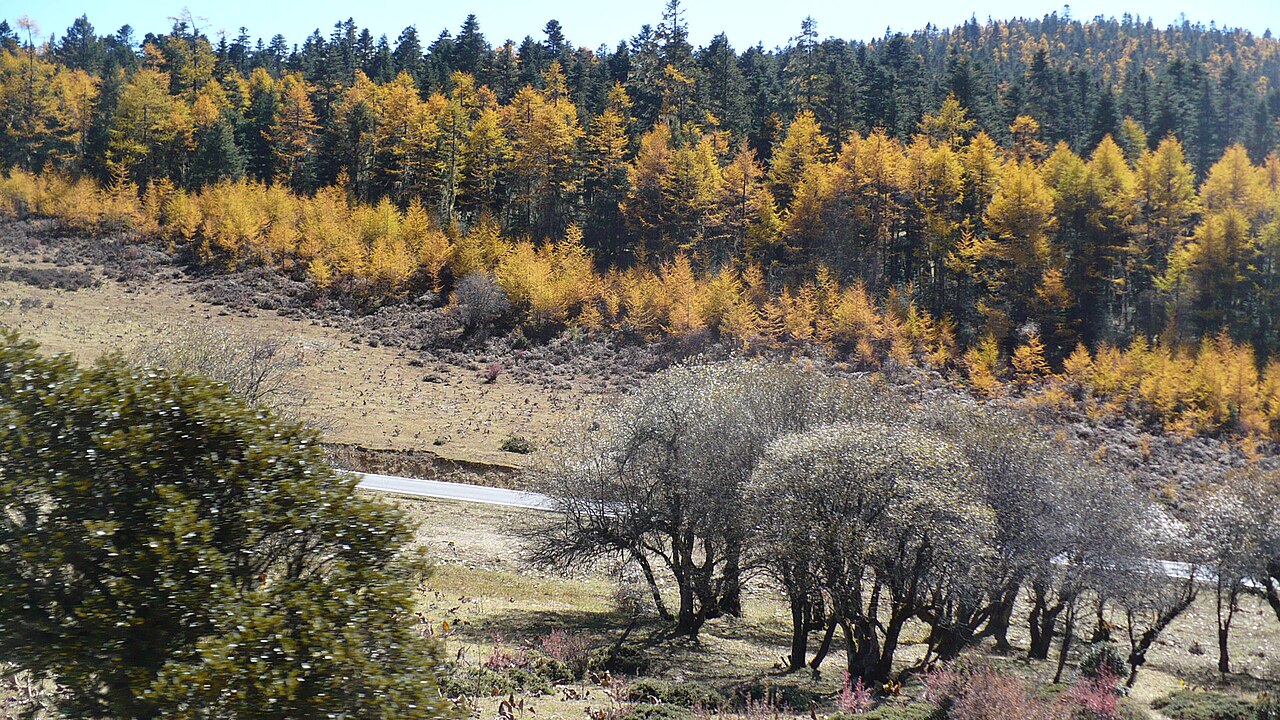
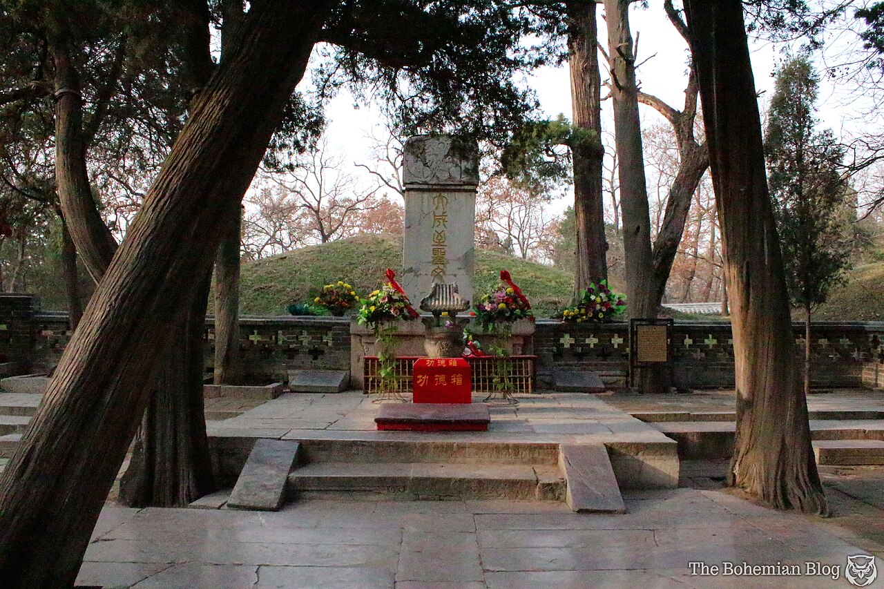
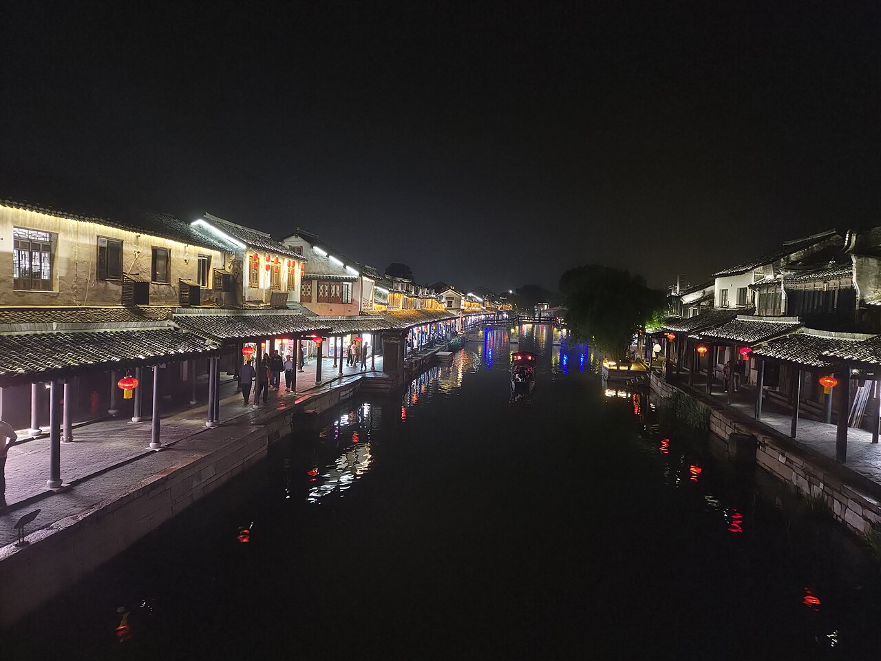
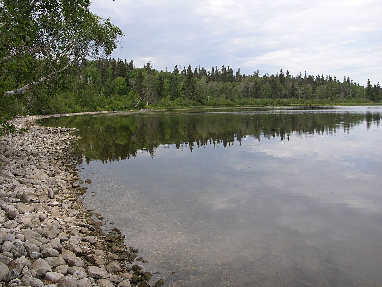
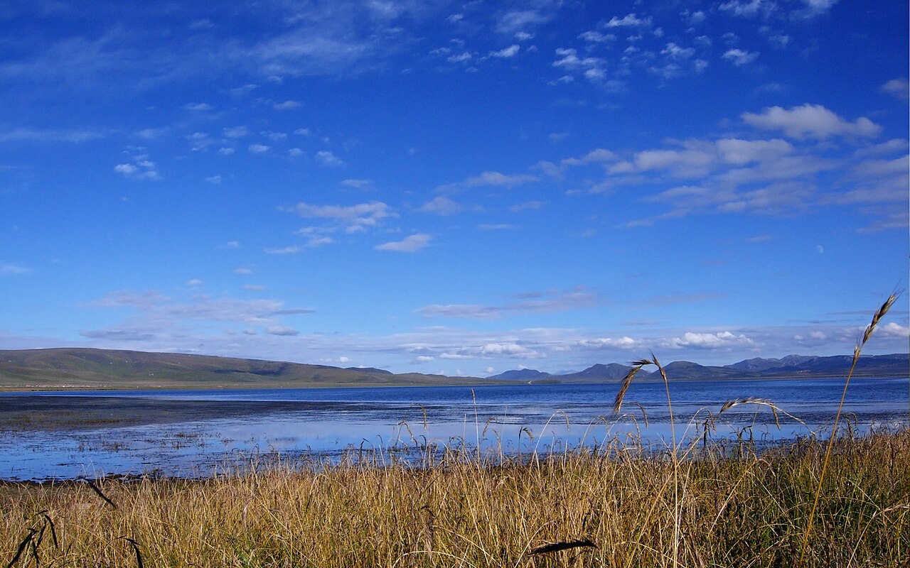
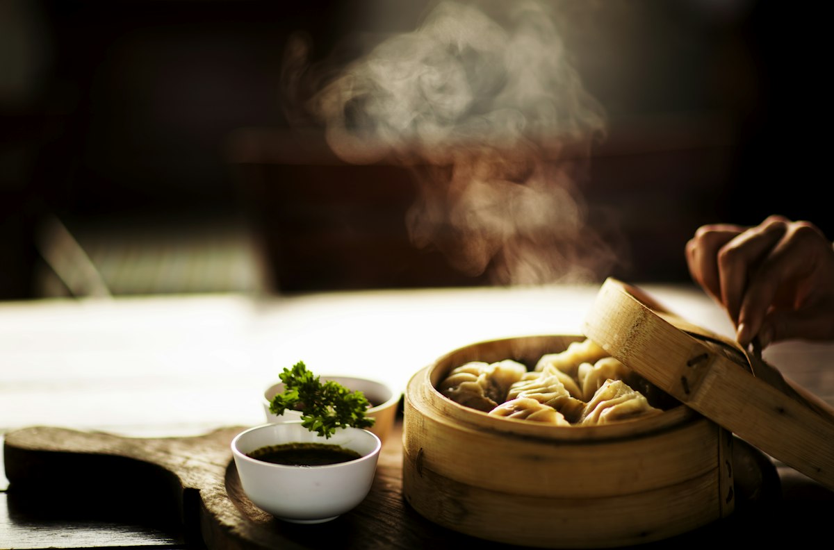
Rawok Lake, ringed by forest and the Nyainqentanglha snow line
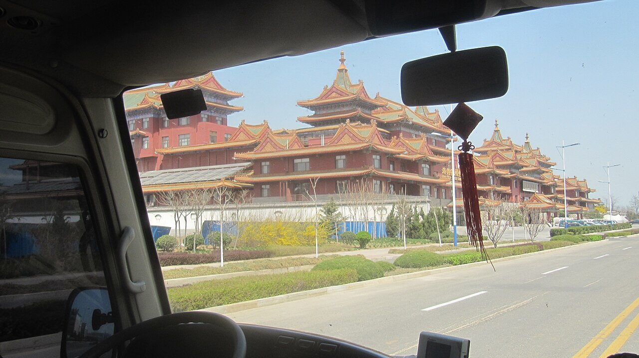
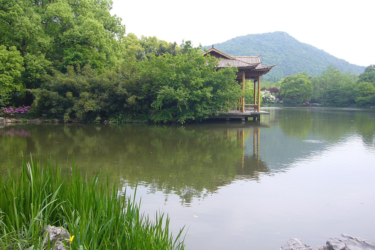
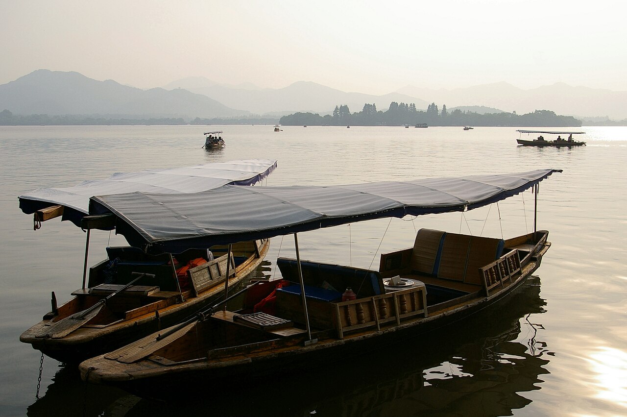
Namcha Barwa seen from the Sejila Pass on a clear morning

We came in early spring. The grass hadn't grown, the flowers hadn't opened, the mountains were still bare — just like the inside of my head at the time. But everything was quietly sprouting. I can imagine late spring here: azaleas out, wildflowers everywhere, green trees, rivers running, butterflies in clouds, colour on every side. One day I'll bring someone back for the autumn.

songuestc, 'Seeking the Heart of Tibet, 2011'

We'd finally reached the 99 bends I'd been thinking about for so long. The danger isn't the surface — it's perfect tarmac. It's that on every hairpin you can't see a thing coming the other way, and what's beyond the bend is anyone's guess. Local drivers never bother honking. We crawled around each one, and before we could breathe, there was the next.

kidonly, Sichuan–Tibet Highway journal

There are thousands of roads in the world, and only this one makes your pulse jump the moment you hear its name. The Sichuan–Tibet Highway runs between Chengdu and Lhasa straight through the Hengduan Mountains, where the altitude swings and the odd climate throw up a run of landscapes and plant species you simply don't get anywhere else. The driving is hard. The scenery is the finest on earth.

You start in Chengdu, the old heart of Sichuan and the capital of Shu culture, then roll west through Kangding of the love-song fame, Xinduqiao with its photographer's light, Litang the world's highest town, the vast grasslands of Bangda, the impossibly coloured Rawok Lake, and finally Lhasa. On the way you cross the Jinsha, Lancang, Nu and Yarlung Tsangpo rivers and climb Erlang, Zheduo, Nyainqentanglha and a dozen other ranges. Big mountains, big water, all of it through the windscreen.

You can do it by plane, car or bicycle. The Tibetans have done it for centuries the original way — prostrating themselves the whole distance, spending years on a single pilgrimage. What is a scenic highway to us is a walking prayer route to them. Whatever it turns out to be for you, get on the road: the answer only shows up out there.

Sichuan–Tibet Highway

Don't leave without

Seven things that are worth rearranging a day for.

  1. Sunrise on Gongga from the Zheduo Pass turn-off above Kangding
  2. The 99 switchbacks dropping 2,100 m from Yelashan to the Nu River bridge
  3. Rawok Lake at dawn, when the forest and snow peaks double on the still water
  4. Namcha Barwa revealed from the Sejila Pass on a clear morning
  5. Litang's horse festival in July — the largest tent city on the plateau
  6. A butter tea and a bowl of sweet tea in an old Lhasa teahouse

Highlights

Five reasons the Sichuan–Tibet Highway earns its reputation

The prettiest 2,142 km of China's

National Highway 318 runs over 5,000 km from Shanghai to Zhangmu, and the Sichuan–Tibet stretch is its crown jewel. You climb from 500 m at Chengdu to 3,600 m at Lhasa, crossing the Hengduan ranges, four of China's ten most beautiful mountains, and the headwaters of the Jinsha, Lancang, Nu and Yarlung Tsangpo rivers — all without ever leaving the tarmac for long.
Four of China's ten most beautiful

National Geographic's "Ten Most Beautiful Mountains of China" list puts four of them on or beside this road: Namcha Barwa (No. 1), visible from the Sejila Pass above Nyingchi on a clear day; Gongga Shan (No. 2), glimpsed from the Zheduo Pass south of Kangding; the three sacred peaks of Daocheng Yading south of Litang; and Meili Snow Mountain at the Sichuan–Yunnan junction near Deqin. Weather decides everything — build in buffer days if summits matter to you.

High-altitude lakes in colours tha

Mugecuo near Kangding (entry CNY 120, plus CNY 100 for the shuttle and CNY 70 for the boat), Basum Tso in Nyingchi, and Rawok Lake in Baxoi all sit right beside the highway. Rawok is the easiest win: pull over at Rawok Bridge, drive 8 km up the dirt track toward Zayu, and you have Upper Rawok Lake to yourself before the tour vans arrive.

A Tibetan plateau that still feels

Poor roads kept Tibet closed to casual travel for decades, and that edge has not fully worn off. You pass through Kham Tibetan towns where the monastery — Litang's Changqingchun Ke'er Monastery, the largest in southern Garze — is the centre of life, and where the old tea-horse caravan routes still shape where people live and trade.

The drive serious 4x4 owners put o

The Nujiang 72 Turns drop 2,100 m in about 20 km of hairpins with no sightline around the bends, and the Tongmai Gorge section is regularly wiped out by landslides. It is dangerous enough that drivers treat it as an achievement. Go with someone who has driven it before, and never rush a blind corner.

Itinerary

Two ways to drive it: the classic 3-day dash and the slow 3-day crawl

The Chengdu–Litang–Batang push (Kh

3 days days

The most photographed slice of the route, done at a pace that still lets you stop. You gain altitude fast — 500 m to 4,100 m in two days — so keep day one short and hydrated.

  1. Day 1

    Chengdu to Kangding via the Erlang

    Leave Chengdu early — the 6–7 hour run only gets interesting after the 4 km Erlang Shan Tunnel, where the plateau suddenly replaces the Sichuan basin. Your first real stop is the Luding Bridge, the 1706 iron-chain suspension bridge, then on to Kangding, the old tea-horse town of 'Dajianlu' at 2,560 m. Walk the Anjue Temple (free, at Jiangjun Bridge) and eat huang liangfen for CNY 3.5 a bowl. Sleep here or push on to Xinduqiao if you have daylight.

    Stops: Erlang Shan TunnelLuding BridgeKangdingAnjue Temple

  2. Day 2

    Kangding over Zheduo Pass to Xindu

    Cross Zheduo Pass (4,298 m) — your first time above 4,000 m, and where altitude sickness tends to introduce itself. Xinduqiao is 2 hours from Kangding and worth a slow morning: the 'photographer's paradise' is unimpressive in the town itself but extraordinary 10 minutes out, where poplars, streams and scattered Tibetan farmhouses catch the light. Continue over the 4,400 m Gaoersi Pass, drop to Yajiang at 2,500 m, then over the 4,600 m Jianziwan and Kazila passes to Litang, the 'world's highest town' at 4,014 m.

    Stops: Zheduo PassXinduqiaoGaoersi PassYajiangJianziwan PassLitang

  3. Day 3

    Litang to Batang, dropping into th

    Before leaving Litang, walk the circuit at Changqingchun Ke'er Monastery (free, open all day) and look for the Gelug murals, then drive out past the Maoya grasslands, where nomad tents dot the valley 30 km west of town. The road crosses Haizi Pass and drops hard — Batang sits at around 2,000 m, warm, green and full of orchards. Check into a guesthouse on Jinxianzi Avenue (singles from CNY 30), order zhazha noodles for CNY 7–15, and sleep well at low altitude.

    Stops: Changqingchun Ke'er MonasteryMaoya GrasslandsHaizi PassBatangKangning Temple

The Batang–Rawok–Nyingchi run (the

3 days days

The three days that decide whether you love this road. Long driving, 9–10 hour days, a border crossing, the 72 Turns and the Tongmai Gorge — but also the scenery everyone comes for.

  1. Day 1

    Batang to Rawok via Markam, Bangda

    Cross the Jinsha River bridge out of Batang and you are officially in Tibet. Markam is the first Tibetan county town and the junction where the Yunnan–Tibet road splits off toward Deqin and Meili Snow Mountain — resist it if you are on a schedule. From Bangda (4,300 m), climb Yela Pass and start the descent: the 72 Turns drop from 4,600 m to the Nujiang bridge at 2,200 m in roughly 20 km of blind hairpins. Local drivers do not honk; you should. Sleep in Rawok if you can, otherwise Baxoi. Rawok's dawn and dusk are the payoff.

    Stops: Jinsha River BridgeMarkamBangdaYela PassNujiang 72 TurnsRawok Lake

  2. Day 2

    Rawok to Bomi through the Parlung

    Drive 8 km up the dirt track at Rawok Bridge for Upper Rawok Lake before breakfast, then continue west. This is the day you cross between the Nyainqentanglha, Himalaya and Hengduan ranges — snow peaks, forest, glaciers and the roaring Parlung Tsangpo the whole way. The Midui Glacier is a signposted detour but requires a hike in. Bomi is small, cheap and the trailhead for the six-day Medog trek.

    Stops: Upper Rawok LakeMidui GlacierParlung Tsangpo RiverBomi

  3. Day 3

    Bomi to Nyingchi over the Tongmai

    The Tongmai Gorge is the single most dangerous stretch on the route — narrow, landslide-prone, and terrifying when you meet a truck. Take it slowly and do not pass on blind corners. You emerge at Lulang, where the forest opens up and stone-pot chicken (shiguoji) is the local specialty and worth the stop. Climb Sejila Pass for the Namcha Barwa view if the sky cooperates, then drop into Bayi, Nyingchi's new town — after a week of dusty county seats it feels almost too modern.

    Stops: Tongmai GorgeLulangSejila PassNamcha Barwa viewpointBayi (Nyingchi)

Sights

Five stops worth building your day around

High-altitude lake

Mugecuo (Mugecuo Lake), Kangding

A 26 km drive from Kangding brings you to a lake that changes colour with the hour and the season — locals say 'one day, four faces.' The boat dock sits below Rhino Peak on the left and a ridge the shape of a crouching tiger on the right. Riding is available along the shore, and on clear days you can walk up for a distant glimpse of Gongga Shan.

Entry
CNY 120, plus CNY 3 insurance
Shuttle bus
CNY 100 return inside the scenic area
Lake boat
CNY 70
Open
08:30–18:00
Getting there
26 km from Kangding; taxi about CNY 100, private car back about CNY 30 per person

Tip It is expensive by Sichuan standards and there is no shortage of lakes further west. If you are short on time or budget, skip it and save your money for Basum Tso or Rawok.

Gelug monastery

Changqingchun Ke'er Monastery, Lit

The largest monastery in southern Garze, built up a hillside with tiered halls that give it a genuinely commanding presence — it ranks with the three great monasteries of Lhasa in Gelug tradition. The murals are the highlight, and the treasury holds centuries of Buddhist texts and relics. Every Tibetan New Year, on the 15th day of the first lunar month, the monastery hosts a butter-sculpture festival.

Entry
Free
Open
All day
Location
Litang county town, Garze Prefecture
Best time
Morning, when monks are in the assembly hall

Tip Dress modestly, walk clockwise around the halls and ask before photographing anyone. Litang sits at 4,014 m — walk slowly, the stairs are steeper than they look.

Plateau grassland

Maoya Grasslands, west of Litang

About 30 km west of Litang the road follows the Wuliang River valley and opens onto a vast grassland ringed by snow peaks and big sky. It is not as wide as the Inner Mongolian steppe, but the proximity of mountains makes it feel more dramatic. In summer the wildflowers are thick enough that rolling in the grass leaves you smelling of them.

Entry
Free
Open
All day
Getting there
Drive or hire a car about 30 km west of Litang along the highway
Camping
Possible in summer with your own tent

Tip This is a good place to break the long Litang–Batang day. Pull over, make tea from a thermos, and let the altitude settle for half an hour.

Lake, hot springs

Cuopu Lake and the Rekeng hot spri

Batang has over 100 lakes; Cuopu is the most beautiful, a turquoise pool ringed by dense forest and green slopes. The signature trick here is 'calling the fish' — a monk chants by the shore beneath prayer flags and the fish swarm in to be fed; put your hand in the water and they nibble your fingers. Upstream along the Baqu River is the Rekeng hot spring field, one of the three great geothermal areas of China alongside Yangbajing in Tibet and Tengchong in Yunnan.

Entry
Usually free; unofficial charges may apply during Golden Week
Distance
About 70 km from Batang along G318 to the valley mouth, then 40 km of gravel and potholes
Driving time in
About 2 hours in a 4x4 — do not attempt in a sedan
Guesthouses
Cuola township at the valley mouth, about CNY 30 per bed
Monastery beds
Rough dormitories inside the valley, about CNY 20

Tip Ask the Batang tourism office about fees before you go — collection is inconsistent. The 08:00–08:30 Batang–Kangding bus passes Cuola township if you are travelling by public transport.

Lake, mountain pass

Rawok Lake and the Nujiang 72 Turn

Rawok Lake is the stop people photograph most on the middle section of the highway — still, pale and backed by snow peaks, best at dawn and dusk. The 72 Turns above it are the road's most famous engineering stunt: a stack of switchbacks dropping 2,100 m from the Yela Pass into the Nujiang gorge, resurfaced in asphalt in 2010 but still dotted with blind corners. Pull over at the Yela Pass viewpoint and look back at what you just drove.

Entry
Free
Open
All day; view the 72 Turns from the Yela Pass viewpoint
Getting there
8 km up the dirt road at Rawok Bridge for Upper Rawok Lake
Staying
Ping'an Hotel in Rawok town sits right on the lakeshore
Road condition
Asphalt since 2010 but hairpins remain blind and local drivers rarely signal

Tip Do the 72 Turns in daylight only. If you arrive late, sleep at the top and descend the next morning — the pass is not where you want to meet an unlit truck.

Food

What you'll be eating for ten days on the roof of the world

Sichuan hotpot, Chengdu

Your last real blowout before the plateau. Chengdu hotpot is a softer, more aromatic cousin of the Chongqing original — numbing Sichuan pepper over a slow-building chilli heat. Eat it on D1 in Chengdu; from Kangding onward the food gets plainer, so order a big one now.

Ya'an-style noodles and chaoshou (

The cheap, fast, everywhere meal on the Sichuan half of the route. A bowl of noodles runs CNY 7–15, a plate of wontons similar. Longchao shou from Chengdu are the classic — paper-thin wrappers, rich chicken-and-pork broth.

Tibetan butter tea and tsampa

Yak-butter tea is salty, greasy and an acquired taste, but locals swear it revives you when altitude sickness has you flat on your back. Tsampa (roasted barley flour) is eaten by hand, mixed with butter tea into a dough ball. Try it once, properly, in Litang or Markam.

Air-dried yak meat (fenggan niurou

Sold in strings in every market from Litang onward — chewy, salty, faintly smoky, and the single best snack to have in your bag for long driving days. Buy it fresh from a stall rather than a sealed tourist pack.

Stone-pot chicken in Lulang

The reward after the Tongmai gorge on D6. A whole free-range chicken stewed in a carved stone pot with Tibetan medicinal herbs and mushrooms — CNY 300–500 per pot, feeds three to four, and worth every yuan after a day of white-knuckle driving.

Where to eat

Four kitchens worth planning your day around

Litang · Tibetan

Wulianghe Hotel Tibetan Restaurant

A handsomely decorated Tibetan dining room on the second floor of the Wulianghe Hotel, and the safest place in Litang to try tuo tuo rou (chunks of boiled yak with a salt-and-pepper dip). Everything here is cooked in a pressure cooker, so order the moment you sit down and expect a wait — food simply does not cook fast at 4,014 metres.

Address
2F Wulianghe Hotel, corner of Tuanjie St N and Xingfu Rd
Signature dishes
Tuo tuo rou, air-dried meat, suancai noodle soup
Average spend
About CNY 40 per person
Vegetables
Sparse — this is a meat-and-staples kitchen

Litang · Mixed menu

Tiantian Restaurant

The one address in Litang where a fussy group can all find something: western food, standard Sichuan cooking and Tibetan dishes on the same menu. The owner is a walking information desk for the route ahead — ask him about road conditions before you set off the next morning. Yes, the burgers and fries come out of a pressure cooker, which is somehow part of the fun.

Address
108 Xingfu East Rd (west of the People's Armed Forces Dept)
Phone
13541467941
Good for
Mixed groups, picky eaters, route advice
Menu note
Foreign and Sichuan dishes side by side

Batang · Noodles & snacks

Ba-tang street stalls & zha zha mi

Batang's eating is concentrated on the pedestrian commercial street and the southern stretch of Ankang Avenue. In the small alley on the north side of the shopping street you'll find zha zha mian — noodles and pig-trotter soup, both done well and priced at CNY 7–15. Opposite Batang Middle School near Kangning Temple there's an unnamed Sichuan noodle shop whose cold noodles and dumplings are excellent and cheaper for being off the main drag.

Where
Commercial pedestrian street; Ankang Ave S for hotpot and barbecue
Price range
CNY 7–15 for noodles and snacks
Best time
Barbecue stalls set up in the evening
Local tip
The unmarked noodle shop by the school is the best value in town

Markam · Noodle house

Markam jiajia mian

Markam's claim to culinary fame is jiajia mian, and locals say you haven't really passed through the town until you've eaten a proper bowl. The trick is the pipa rou broth — pork cured the Tibetan way in Yunnan's west and eastern Tibet — ladled over freshly boiled noodles with spring onion. Bowls are deliberately a third of normal size and refilled as you finish; a serious eater will go through eight or ten. Restaurants cluster on the main street between the county government and the bus station.

Signature
Jiajia mian with pipa rou broth
How it works
Small bowls, refilled until you stop
Where
Main street, county government to bus station
Also available
Sichuan, Yunnan and Tibetan cooking side by side

Where to sleep

Three beds on the route, ranked by how much you'll want to get up

Chengdu · YHA hostel

Chengdu Longtang International You

The oldest YHA hostel in Chengdu, tucked inside Kuanzhai Alley, so you step out of the door into snack stalls and little shops. Their house rule — printed on the wall — is 'no suits and ties'. It is deservedly popular; book well ahead or you'll be looking at dorms elsewhere. This is where you stage your kit, meet other people heading west and sort out a car.

Address
26 Kuanzhai Alley, Qingyang District
Phone
028-86648408
Dorm bed
CNY 60 per bed
Standard room
CNY 220–320
Why here
Kuanzhai Alley location, walking distance to snacks and shops

Xinduqiao · Guesthouse

Yake Inn (Yak Inn)

Set slightly higher than the town and closer to the Gongga viewing point, so on a clear morning you get both Gongga and Yala snow peaks from the doorstep. The owners rent horses, which is the easiest way to get out into the光影 fields that made Xinduqiao famous. Rooms are simple Tibetan-style, but the location is the whole point.

Address
Xinduqiao town, at the 2888 km marker
Phone
0836-2866645
Views
Gongga and Yala snow peaks in clear weather
Extra
Horse rental available on site

Litang · Budget guesthouse

Guofu Guesthouse

The most cyclist-friendly bed in Litang. Rooms are decent, with free wi-fi, laundry and 24-hour hot showers — rare at this altitude — and the owner actively looks after people on two wheels, giving riders cheaper rates for beds and meals and helping arrange onward transport. Cyclists pay around CNY 15 per person in a two-to-four-person room. If you're driving, ring ahead; the place fills with riders in summer.

Address
Opposite the first petrol station after entering town
Phone
0836-5322772
Cyclist rate
CNY 15 per person (2–4 person room)
Facilities
Free wi-fi, laundry, 24-hour hot showers
Heads up
Altitude 4,014 m — expect to sleep badly your first night

Transport

How to get on the route and how to keep moving

Fly in to Chengdu

Chengdu is the starting gate, and Chengdu Shuangliu International Airport (CTU) is the busiest hub in western China, with domestic flights from every major city plus Hong Kong, Tokyo, Bangkok and Singapore. The airport sits about 18 km from downtown; the shuttle bus costs CNY 8–10, leaves every 15 minutes and takes around 30 minutes, while a taxi runs about CNY 50. Buses 124, 300, 304, 318 and 804 also link the terminals to city bus stations.

Airport to downtown
CNY 8–10 shuttle, every 15 min, ~30 min
Taxi from airport
About CNY 50
Rail hubs
Chengdu North (most trains) and East (mostly high-speed)

Depart from Lhasa

Lhasa Gonggar Airport flies to Beijing, Shanghai, Chengdu and Xi'an, but discounts are rare, so book early. The airport shuttle leaves from the CAAC ticket office compound on the south section of Niangre Road starting at 6am; a taxi to the city costs CNY 120–150 and takes about 30 minutes on the airport expressway. Lhasa Railway Station, southwest of town in Liuwu township, has trains to Lanzhou, Xining, Shanghai, Chengdu, Beijing and Guangzhou since the Qinghai–Tibet line opened on 1 July 2006.

Airport taxi
CNY 120–150, ~30 min
First airport bus
6am from Niangre Road South
Rail destinations
Lanzhou, Xining, Shanghai, Chengdu, Beijing, Guangzhou

Private car or self-drive

This is how most people actually do the Sichuan–Tibet Highway, and it is the mode our 10-day itinerary is built around. You can stop whenever the light is good, and towns are dense enough that you never have to plan meals and beds more than a few hours ahead. Book through a Chengdu travel agency, a 4WD rental company or an off-road club, or check the noticeboards at Chengdu hostels for shared-vehicle partners. Start from Chengdu with cash — enough to cover fuel, food and lodging for the whole run.

Full route length
2,142 km on G318
Elevation gain
From 500 m to over 3,600 m
Speed-limit card
Roughly 42–43 km/h enforced between checkpoints

Buses, lifts and bicycles

Public buses connect Chengdu to Kangding (CNY 100–130, about 7 hours, departures every 30 minutes from 7am to 7pm at Xinnanmen station) and continue west, but schedules thin out badly past Litang. Hitchhiking is possible and cheap — count on CNY 30 from Xinduqiao to Yajiang and about CNY 70 to Litang — but waits can eat a whole day. Cycling the full route takes about a month and walking it about six; the summer student wave means hostel beds along the line sell out, so if you ride, book ahead or carry a tent.

Chengdu–Kangding bus
CNY 100–130, ~7 hours
Xinduqiao–Litang lift
About CNY 70
Cycling the full route
About 1 month

Shopping

What to carry home from the roof of the world

Dried yak and wind-cured beef

Sold in vacuum packs from Litang and Batang markets and any Tibetan grocery in Lhasa. It is light, keeps for weeks and makes the best trail snack on the drive itself. Buy from a shop with a steady turnover — the stuff hanging in open air at a roadside stall has usually been there longer than you think.

Butter tea and tsampa

Barley flour and brick tea are the staples that get Tibetans through a hard day, and both pack flat. A bag of tsampa costs a few yuan and weighs almost nothing; butter tea you will more likely drink on the spot, but tea bricks travel fine. Ask for the roasted barley, not the instant sweetened powder, if you actually want to make it at home.

Tibetan carpets and aprons

Lhasa's Barkhor Street is the place to look, though prices swing wildly by how obviously foreign you are. Hand-knotted wool carpets and the striped pangden aprons worn by married Amdo women are the two things worth the luggage space. Compare three shops before you commit, and never accept the first number quoted.

Mani stones, prayer flags and turq

Mani stones carved with sutras are sold near monasteries, and prayer flags cost next to nothing; both are light and easy to pack. Turquoise and dzi beads are the trap — most of what you see in tourist stalls is dyed stone or resin, so buy only from a shop that will tell you honestly what it is, and pay accordingly.

Practical

The things that actually decide your trip

Pack for wind and cold rather than for technical mountaineering: a shell jacket and a fleece are enough for a driving trip, with a down jacket as backup. A headlamp, a thermos, a power strip for the guesthouse sockets, and a lip balm and high-SPF sunscreen are the small things people forget and then miss for ten days. If you would rather have someone else handle the permits, drivers and beds, our Sichuan–Tibet Highway private tours and small-group Sichuan–Tibet tour packages include the whole Chengdu–Lhasa run, and our Lhasa travel guide covers what to do once you arrive.

Altitude sicknessMild headache, dizziness and insomnia are normal in the first 1–2 days and fade as you acclimatise. Avoid alcohol and cigarettes before you go, take Rhodiola in advance, drink water and eat fruit rather than training hard. Do not reach for the oxygen bottle at the first twinge — you will just become dependent on it. Butter tea genuinely helps once you are suffering, and it is worth forcing down one cup.
CashDraw enough in Chengdu to cover fuel, food and lodging for the entire route. ATMs have appeared along the line but withdrawals are unreliable, and the small guesthouses that charge CNY 15–40 a bed take cash only.
Where to sleepDeliberately skip Litang and Bangda as overnight stops. Litang sits at 4,014 m and you will be short of breath lying in bed with only an electric blanket for heat; Bangda at 4,300 m is worse. Push on to Batang (about 2,000 m) or Bamei instead.
FoodTibetan food leans on barley, dairy and mutton — tsampa, butter tea, dried beef — and most Han travellers find it hard going at first. Luckily Sichuanese cooks run restaurants the whole way, so you will not starve. If even Sichuan food is too much, carry instant noodles and biscuits.
Foreign visitors and permitsNon-Chinese passport holders, Taiwanese travellers and overseas Chinese (Hong Kong and Macau residents with SAR passports or home-return permits excepted) need a Tibet Travel Permit issued by the Tibet Tourism Bureau before entering Tibet. Apply about 20 working days ahead through a travel agency, then book flights and trains only after the permit is in hand. Foreign journalists and diplomats cannot enter as tourists.
Best seasonJune to September is the classic window, but July and August bring landslides, mudslides and prices up to five times normal around the Litang horse festival. March and April give you peach blossom in Nyingchi and rhododendrons at Hailuogou; October and November deliver the autumn colour at Xinduqiao, Yading and Nyingchi; December to February is for hot springs and snow, though pushing further into Tibet gets icy and genuinely risky.
Speed-limit cardsOnce you cross into Tibet at Batang you enter the speed-limit card system. You collect a card at each county exit and must not reach the next checkpoint before the stated time, effectively capping you at 42–43 km/h. Most barriers are manned, but some checkpoints have a single officer who may be eating or chatting — if you genuinely cannot find anyone and the barrier is up, photograph the checkpoint as evidence before moving on. Missing one means a fine at best, and being sent back to collect the card at worst.

Background

What this road actually is

A road cut through four great rive

The Sichuan–Tibet Highway is the 2,142 km stretch of National Highway 318 between Chengdu and Lhasa, and it climbs from roughly 500 m at the Sichuan basin to over 3,600 m in Lhasa, crossing the Jinsha, Lancang, Nu and Yarlung Tsangpo rivers and the Erlang, Zheduo and Nyainqentanglha ranges along the way. For most of its length it hugs the eastern edge of the Hengduan Mountains, where the altitude swings so violently that you pass pine forest, alpine meadow, semi-arid gorge and glaciated peak in a single day's drive. It is the reason Chinese travellers call G318 the country's 'landscape highway' — of the ten most beautiful mountains voted by Chinese National Geography, four of them sit on or beside this road.

A pilgrimage route first, a scenic

Long before backpackers arrived, this was the Chamagudao — the tea-and-horse road — and the people who use it most seriously still travel it on their knees and hands, prostrating their way to Lhasa over the course of three years. Tibetans call this a vast prayer circuit; everyone else calls it a scenic drive. Keep both in mind and the trip makes more sense: the monasteries you pass are not attractions, and the pilgrims sharing the shoulder with your Land Cruiser are not performing. The road itself has improved enormously in the last decade — most of it is now smooth asphalt, with the exceptions of the Xinduqiao stretch, the gravel after Litang, the Tongmai cliff section and the Nujiang 72-turn descent, all of which still demand slow, careful driving.

Further reading

Watch, read and listen before you go

Film

Island Etude (练习曲, 2006)

Chen Hwai-en

The Taiwanese cycling film that gave a generation the line 'some things, if you don't do them now, you'll never do them at all.' It follows a young man riding around Taiwan with a guitar, but it is the reason thousands of mainland university students buy a bike every July and point it at the 318 — the phrase hung over every guesthouse noticeboard on this road for a decade.

Book

The Woman Who Wouldn't Settle: Sto

Gangqiangzhu_Lynn

A first-person account of drifting through the Tibetan plateau, and the source of the sharpest lines you'll read about this road — the dust, the guesthouses, the way Xinduqiao only makes sense once you leave the town centre. Read it on the plane and the towns will feel familiar before you arrive.

Music

Kangding Love Song (康定情歌)

Traditional, Kangding

The 'Liuliu tune' that made Kangding famous across China — you will hear it played in every restaurant on the first leg of the drive. Pair it with the folk recordings of Batang Xianzi, the circle dance of Batang county whose long-sleeved, whirl-and-dip steps are painted on the walls of the Jokhang and Dunhuang, and which locals insist you learn before you're allowed to leave.

The questions visitors ask us most about Sichuan–Tibet Highway, answered plainly.

Frequently asked questions

Prices and practical details are reviewed every month by our Beijing team and updated the day a rule changes.

When is the best time to drive the Sichuan–Tibet Highway?

June to September is the classic window, but July and August bring the heaviest rain, the most mudslides and the highest room rates — a big student riding wave pushes prices up all along the route. Most people who have done it more than once pick late May or October, when the passes are clear and the autumn colour on the Xinduqiao and Nyingchi stretches is at its best. March and April bring peach blossom in Nyingchi; December to February is fine as far as Hailuogou but genuinely risky past that.

Is the Sichuan–Tibet Highway really as dangerous as people say?

It's much better than it was — most of it is now tarmac and a 4WD can cover the whole run in three to four days. The two stretches that still deserve real respect are the Tongmai section past Bomi, where landslides regularly take out the road, and the 99 bends below Yelashan. Drive them in daylight, slowly, and you'll be fine. The bigger risks are altitude and fatigue, not the road surface.

How do I handle altitude sickness on the route?

Mild symptoms — headache, dizziness, poor sleep — usually clear within one to two days as your body adjusts. Don't rush to the oxygen bottle unless you really need it, or you'll become dependent on it. Eat vegetables and fruit, drink plenty of water, sleep properly, and stay calm. Avoid running, jumping or shouting at the passes; the people who collapse at a viewpoint are almost always the ones who sprinted to it. Butter tea genuinely helps, once you get past the taste.

Do foreign passport holders need a permit to enter Tibet?

Yes. Non-Chinese nationals, Taiwan passport holders and most overseas Chinese travellers must have a Tibet Travel Permit issued by the Tibet Tourism Bureau before entering the region. Apply through an agency at least 20 working days ahead, and do not book flights or train tickets until the permit is in hand. Foreign journalists and diplomats are not permitted to enter Tibet as tourists.

Can I do the Sichuan–Tibet Highway by public bus instead of hiring a car?

Yes, but it changes the trip completely. Buses run from Chengdu's Xinnanmen station to Kangding (CNY 100–130, about 7 hours) and onward to Litang and Batang, and hitching and shared minivans fill the gaps, but you lose control of timing and the cost drops to around CNY 3,000 total. Riders take about a month, trekkers about six months, and pilgrims prostrating the whole way take roughly three years.

What should I actually pack for the drive?

Layers, not specialist gear. A windproof shell and a fleece will cover you at every pass; a down jacket substitutes fine if you don't have a shell. Bring sunglasses, a hat, gloves, sunblock and lip balm, plus a headlamp, a thermos and your own medication — Rhodiola, ibuprofen, cold medicine, stomach medicine and glucose. You do not need trekking poles or mountaineering boots unless you're actually walking somewhere.

Related reading

Related reading

Visas Do I Need a Visa for China? Requirements, Costs and How to Apply China's entry rules changed more in the last three years than in the previous twenty. Here is exactly who needs a visa, what it costs, how long it takes and which passports now walk straight through. 9 min read Visas China's 240-Hour Visa-Free Transit: Who Qualifies and How It Works Ten days in China with no visa application, no fee and no fingerprints — if you hold the right passport and leave for a third country. Here is the rulebook, port by port. 8 min read Money Paying in China: Alipay, WeChat Pay, Cards and Cash Roughly nine in ten urban payments in China now run through a phone. Set up two apps before you fly, carry a modest cash float, and you will never be stuck at a till. 8 min read Transport China's High-Speed Rail: How to Book, What It Costs, How Fast It Goes The fastest way to cross China is also the most pleasant. Here is how to book a ticket with a foreign passport, what the three classes actually give you, and how to survive a Chinese station at rush hour. 9 min read Planning Best Time to Visit China: Month by Month, Region by Region China is the size of Europe, so 'the best month' depends on where you stand. Here is the month-by-month answer for the north, the Yangtze valley, the south and the plateau. 8 min read Planning What to Pack for China: The Complete 2026 Checklist Twenty thousand steps a day, three climate zones and a phone that has to do everything. This is the list we give our own travellers, minus the things they never used. 7 min read Food Chinese Food Culture: Eight Cuisines, One Table There is no such thing as Chinese food. There is Cantonese, Sichuan, Hunan, Jiangsu, Zhejiang, Fujian, Anhui and Shandong — and knowing which one you are eating changes everything. 8 min read Traditions Chinese Tea Culture: Six Classes, One Pot, Two Fingers Tea in China is not a beverage category, it is a social technology: it fills silences, seals deals and sets the pace of a meal. Here is how to sit down in one and not look lost. 7 min read Traditions Chinese Festivals: The Calendar, the Dates and the Crowds Lunar dates mean the calendar moves every year — and two of the festivals move several hundred million people at once. Plan around them or plan into them, but never by accident. 8 min read Etiquette Chinese Etiquette: What Matters, What Does Not, and Why Most etiquette advice for China is either obvious or wrong. These are the dozen behaviours that actually change how you are treated, and the reasoning behind each. 7 min read
Tell us your dates.
We'll do the rest.

Free itinerary design, a revised plan within one working day, and nothing charged until you approve the final version.

  • The full Chengdu–Lhasa run is 2,142 km; a 4WD can drive it in 3–4 days, but 10 days is the pace that lets you actually see it.
  • Four of China's Top Ten Most Beautiful Mountains sit on or beside the route: Namcha Barwa (7,782 m), Gongga, the Yading trio and Meili.
  • From Batang onward you enter Tibet proper and hit the speed-ticket (限速卡) system — checkpoints cap you at roughly 42–43 km/h between towns.

No spam. No sales calls. Just a real itinerary from a real person.